Pumicestone Passage
A narrow, mesotidal waterway that separates Bribie Island from the mainland between Moreton Bay and Caloundra.
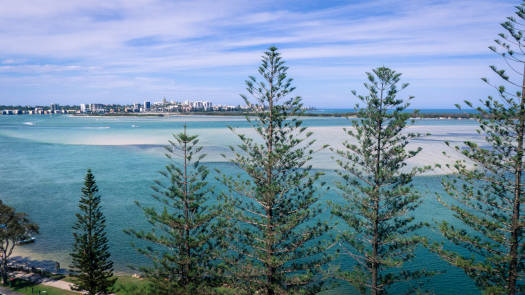
The pristine waters are renowned for their seagrass meadows, sand islands, intertidal flats and mangroves, supporting many iconic and threatened species such as turtles, dugong and migratory shorebirds.
Bribie Island was known as Yarun or Yirin which means ‘Hunting Ground’.
What to expect
Around 80% of the passage is less than two metres deep and you can expect extensive shallow sand flats at low tide and a wide waterway, between 0.5 km to over 2.5 km.
In general, most navigable sections of the creeks are tidal and are surrounded by mangroves or mixed scrublands. When exploring the upper reaches of these creeks, take heed of any out-going tidal flows.
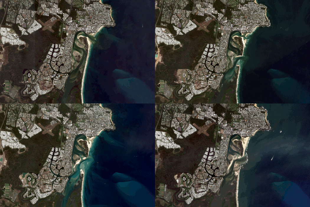
The northern end has been cut short by ex-Tropical Cyclone Seth in 2022. This has created a new entrance 1.4 km south of the Caloundra Bar and has caused an increase of both the tidal range and tide level within Pumicestone Passage.
An infilling of the Caloundra Bar is continuing and this section will likely become a separate estuary in the next few years.
Additional Info
Some misc info on the area for those that aren't familiar with Bribie.
Quick Stats
- Length
- 42 km
- Navigable
- 38 km
- Catchment
- 785 sq km
- Type
- Estuary
- First Nations
- JoondoburriKabi Kabi
- Directions To
- Bongaree
Donnybrook
Roys Rd
Golden Beach
© Thomas and Olivia Williams


