Gascoyne River
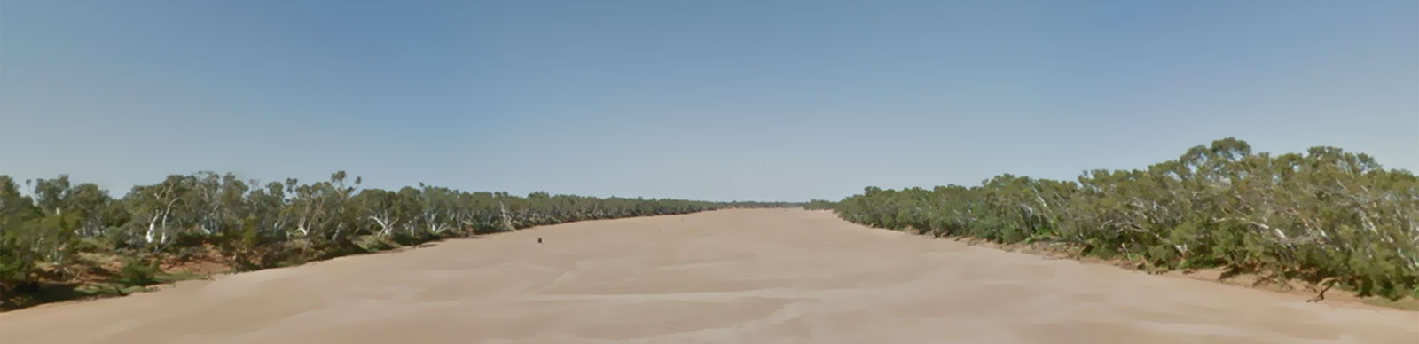
The Gascoyne River is a unique river system in Western Australia, flowing intermittently for only around one-third of the year. During much of the remaining time, the river's water flows through sandy aquifers, earning it the nickname "upside-down river." The Gascoyne River is the largest of the three major rivers in Western Australia, stretching approximately 865 kilometers. The Murchison and Fitzroy rivers, both with lengths of 820 km and 733 km, respectively, are the other two longest rivers in the region.
The river has a catchment area of approximately 133,000 square kilometers, encompassing diverse landscapes ranging from semi-arid shrublands to sand dunes and rocky outcrops. Despite its intermittent nature, the river supports a diverse range of flora and fauna, including rare and endemic species that have adapted to its unique conditions. The Gascoyne River is an important resource for the local communities, providing water for agricultural activities, livestock, and wildlife. It plays a crucial role in the cultural and spiritual traditions of the local Indigenous people, who have lived along its banks for thousands of years.
At the northern end of Shark Bay, where the river flows into the ocean, its waters help sustain Carnarvon, an oasis amid an otherwise dry and desolate coastal landscape. These waters are vital to supporting one of the most productive horticultural regions in Western Australia.
The Gascoyne River was named by George Grey in 1839 in honor of Captain Gascoyne.
Key Waypoints
-
0 km
Source
- North Branch
- Middle Branch
- South Branch
All three branches cross the Great Northern Hwy around Kumarina, with the Nth Branch being the longest of the three. Without data I would expect these to be very boom and bust rivers that are more bust than boom.

-
208 km
Peak Hill
-
378 km
Landor Station
-
511 km
Yinnietharra Station
Homestead on Cobra-Dairy Creek Rd.
-
668 km
Gascoyne Junction
-
849 km
Carnarvon
Flows into the Indian Ocean.

River Map
Key towns along the river are shown below.
- Peak Hill
- Landor Station
- Yinnietharra Station
- Gascoyne Junction
- Carnarvon
Distance Table
The distances were calculated by manually digitising the river path from Bing aerial images in QGIS (WGS 84 / UTM Zone 55S).
| Distance (KM) | Source | Peak Hill | Landor | Yinnietharra | Gascoyne Junction | Ocean | Distance (KM) |
|---|---|---|---|---|---|---|---|
| Source | 0 | 208 | 378 | 511 | 668 | 849 | Source |
| Peak Hill | 208 | 0 | 170 | 303 | 461 | 641 | Peak Hill |
| Landor | 378 | 170 | 0 | 133 | 290 | 470.512 | Landor |
| Yinnietharra | 511 | 303 | 133 | 0 | 157 | 338 | Yinnietharra |
| Gascoyne Junction | 668 | 461 | 290 | 157 | 0 | 180 | Gascoyne Junction |
| Ocean | 849 | 641 | 471 | 338 | 180 | 0 | Ocean |
| Distance (KM) | Source | Peak Hill | Landor | Yinnietharra | Gascoyne Junction | Ocean | Distance (KM) |
Note that the distances were calculated from the longer Nth Branch.
Climate
A couple graphs on the weather, one at Meekatharra, (closest open station with statistics to the source), and Carnarvon at the source. Since the river flows fairly evenly along the 25th parallel south, I wouldn't expect too much variation along the main stretch of the river other than the coastal influence itself.
For the most accurate weather information that reflects recent weather patterns, I have used a 30-year period between 1991 and 2020 for my statistics whenever possible. In some cases, a smaller subset or even longer-term statistics may also be used. To provide normalized figures that exclude extreme values, I have used deciles ranging from 1 to 9, which excludes the lowest and highest 10% of observations.
Meekatharra
Carnarvon
Seasonal Wind Roses for Carnarvon (3pm)
Homesteads
Some of the stations and homesteads that can be found along the river.
