Flinders River

The Flinders River is the longest river in Queensland, stretching over 1,000 kilometers from its source in the rugged terrain of the Great Dividing Range to its mouth in the Gulf of Carpentaria. The river is a vital lifeline for the local ecosystems and communities, providing water for irrigation, drinking, and fishing. Its catchment area covers about 109,000 square kilometers, encompassing diverse landscapes ranging from tropical rainforests and wetlands to arid outback plains. Despite its importance, the Flinders River remains relatively unknown outside the region, making it a hidden gem for those seeking an authentic outback experience.
Key Waypoints
-
0 km
Source
-
203 km
Hughenden

-
358 km
-
905 km
Burke Developmental Rd
- Bynoe River
-
1,013 km


River Map
Key towns along the river are shown below.
- Source
- Hughenden
- Richmond
- Stawell River
- Cloncurry River
- Saxby River
- Burke Dev Rd
- Bynoe River
- Gulf of Carpentaria
Distance Table
The distances were calculated by manually digitising the river path from Bing aerial images in QGIS (WGS 84 / UTM Zone 55S).
| Distances (KM) | Source |
Hughenden |
Richmond |
Stawell River |
Cloncurry River |
Burke Dev Rd |
Ocean |
Distances (KM) |
|---|---|---|---|---|---|---|---|---|
| Source | 0 | 203 | 358 | 391 | 839 | 905 | 1013 | Source |
| Hughenden | 203 | 0 | 155 | 188 | 636 | 702 | 811 | Hughenden |
| Richmond | 358 | 155 | 0 | 33 | 481 | 547 | 655 | Richmond |
| Stawell River | 391 | 188 | 33 | 0 | 448 | 514 | 622 | Stawell River |
| Cloncurry River | 839 | 636 | 481 | 448 | 0 | 65 | 174 | Cloncurry River |
| Burke Dev Rd | 905 | 702 | 547 | 514 | 65 | 0 | 109 | Burke Dev Rd |
| Ocean | 1013 | 811 | 655 | 622 | 174 | 109 | 0 | Ocean |
| Distances (KM) | Source |
Hughenden |
Richmond |
Stawell River |
Cloncurry River |
Burke Dev Rd |
Ocean |
Distances (KM) |
Flow
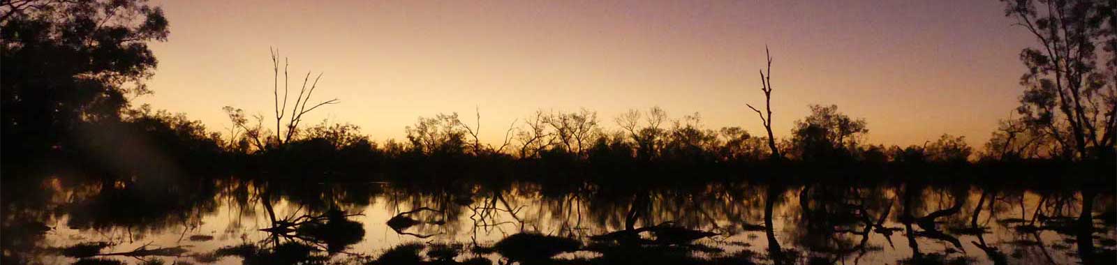
The river is heavily affected by the Australian monsoon season and is often in the path of typical cyclones around the Gulf, making it a dynamic and unpredictable natural system.
Climate
Flinders River is a significant waterway in North Queensland, and its flow is heavily affected by the Australian monsoon season. The monsoon season typically occurs from November to March and is characterized by periods of heavy rainfall and thunderstorms, which can lead to flash flooding in the region. During this time, the river system is often in the path of typical cyclones that usually form around the Gulf of Carpentaria.
For the most accurate weather information that reflects recent weather patterns, I have used a 30-year period between 1991 and 2020 for my statistics whenever possible. In some cases, a smaller subset or even longer-term statistics may also be used. To provide normalized figures that exclude extreme values, I have used deciles ranging from 1 to 9, which excludes the lowest and highest 10% of observations.
All locations have consistently dry winters, and the climate is fairly constant until you reach the coast.
Karumba sits on the coast just NE of the Flinders River meets the Gulf of Carpentaria. It is significantly wetter and has a more constant temperature. It rarely gets colder than 10°C while the other locations are on average low is 5°C colder in winter. This trend is reversed in summer with Karumba having an average high that is 5°C cooler than the other locations.
Mean Temps
Annual: 30.7 to 34.3°C
Monthly low: 8.7 to 24.4°C
Monthly high: 25.9 to 39.8°C
Mean Rainfall
Annual: 450 to 891 mm
Monthly min: 0 to 55 mm
Monthly max: 13 to 664 mm
And a head to head comparison of Hughenden (inland) and Karumba (coast):
Hughenden
Karumba
Seasonal Wind Roses for Hughenden (3pm)
Seasonal Wind Roses for Normanton (3pm)
Normanton is 40 km inland from the mouth of the Flinders, up the Norman River.
Homesteads
Reedy Station appears closest to the source. Upstream of Hughenden down to Burke Developmental Road there are significant numbers of farms on the left and right sides of the main flood plains.
