


Warrego River
The river of Sand
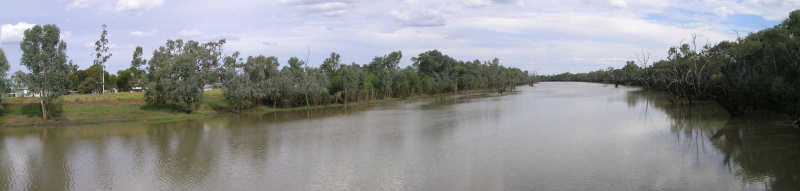
The Warrego River is an ephemeral river that originates on the western side of the Carnarvon Range in outback QLD, part of the Great Dividing Range. It flows down to its confluence with the Darling River between Bourke and Louth. The area surrounding the river is sparsely populated, with most residents living in Charleville, Cunnamulla, and Augathella, making the Warrego River one of the most remote rivers in the Murray-Darling Basin. The predominant industry in the basin is cattle and sheep farming.
One of the longest tributaries flowing into the headwaters is Dooloogarah Creek. Of its tributaries, Sunday Creek appears to be the longest. Sunday Creek or one of its own tributaries leads past Junction Hill (1,125 m) to the slopes of Mount Sugarloaf (1,145 m), which is the highest and most prominent mountain in the Carnarvon Range. Channin Creek is likely the second-longest tributary, flowing from the Buckland Tablelands past Mt Lambert (1,005 m) and Mt Ka Ka Mundi (825 m).
The Warrego River typically only flows during La Niña wet seasons and cyclone-driven weather events. Over the years, there have been only a small number of flows over 1,000 ML/day that have made it all the way down to Fords Bridge. On average, such flows occur less than once every two years, and each typically lasts only a few weeks.
Important tributaries in the upper basin include the Nive River, which meets the Warrego River approximately 35 km downstream of Augathella, as well as the Langlo and Ward Rivers, which join the Warrego River approximately 25 km downstream of Charleville. Downstream, the river becomes a complex system of dams, waterholes, and distributaries. Water may leave the basin via Cuttaburra Creek, which feeds into the lower reaches of the Paroo River on the western side, along with Noorama and Widgeegoara creeks that feed into the Culgoa River on the eastern side.
Guides, Resources and References

Gear
If you are not supported, you will need to take provisions for long distances where there are no supply points.
A sea kayak or canoe is likely the best option for the long leg down from Cunnamulla down to the Darling River. There are possible rapids and frequent snags if low.
Refer to the Murray River Gear Section for a discussion about kayaking and camping gear.
Planning
Information to ensure an enjoyable and successful trip.
The main hazard is the remoteness of the river, along with a number of weirs and snags from submerged trees. Refer to the Darling River Risk Assessment page that covers the majority of the main risks one will face.