Location Statistics
Miscellaneous info for selected locations including climate and astronomical dates
Most of the tributaries are ephemeral rivers, flowing only after rainfall, however many have long tidal reaches making for pleasant paddling along the mangrove lined tidal reaches.
From south to north we have:
The Gardens Canal is a tranquil spot for a short urban paddle, separated from the main seaway by a lock (resident access only).
Access to the canal is via the boat ramp or one of the nearby parks.
Quick Stats
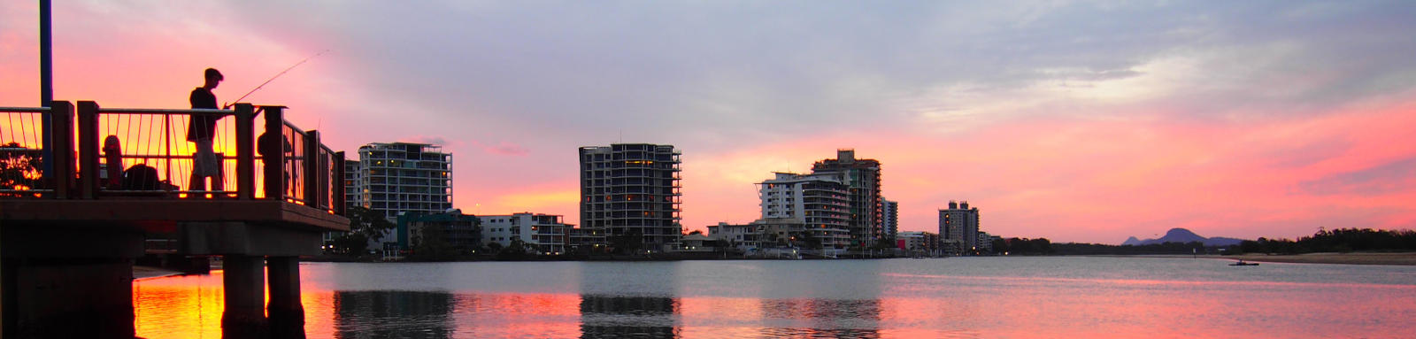
A network of about 10 km of canals that offer another delightful residential paddling experience.
Quick Stats
Located on the mainland, Ningi Creek invites you to explore its tidal waters. Like all the creeks in the area, it’s best to time your paddle for high tide—the perfect opportunity to appreciate the natural beauty.
Quick Stats
Another mainland gem, Elimbah Creek provides a pleasant tidal paddle.
Aim for high tide to make the most of its long tidal reach. It will likely be challenging to reach the junction of Six Mile and Beerburrum creeks.
Quick Stats
Bullock Creek offers a shorter tidal paddle. It’s a great spot to dip your paddle and enjoy the coastal surroundings.
Bullock Creek is closest to Donnybrook, but is also accessible from either Toorbul or Elimbah Creek boat ramps.
Quick Stats
Venture a bit farther into the Pumicestone Passage, and you’ll find Glass Mountain Creek. Launch your kayak or canoe from Donnybrook and explore this slightly more remote creek. The tranquility is worth the extra effort.
Quick Stats
For those seeking solitude and wanting a more challenging journey, Hussey Creek is the most remote of the mainland creeks.
Starting from Roys Rd Boat Ramp, you’ll paddle about 3 km just to reach the beginning.
While reaching Tibrogargan Creek might be ambitious, it would make for a more adventurous journey.
Quick Stats
Coochin Creek has a 8 km tidal reach into Beerwah State Forest, with a camping area and boat ramp along the lower stretch.
This has the largest watershed of all the tributaries but it is unlikely to have any noticeable flow outside of heavy rain events. The confluence of Mellum Creek is nearing the end of the navigable section with short shallower sections up both Coochin and Mellum Creeks.
Quick Stats
Bells Creek offers delightful tidal paddling. Conveniently accessible from the boat ramp near its mouth, this mainland creek splits into north and south branches near the Pelican Waters Golf Course.
For the best experience, time your paddle with the high tide.
Quick Stats
Below the locks there are about 3 km of canals of Pelican Waters to explore.
Quick Stats

©2026 Alan Davison // Credit // Disclaimer