Switch between measurement systems used on the site.
Flow:
ML/day
Volume:
Litres
Other:
Metric (km, kg, °C)
Note that you can also toggle these when you see these in the content too.
Flow calculator
From to
Misc other flow calculations can be calculated online at Kyles Converter.
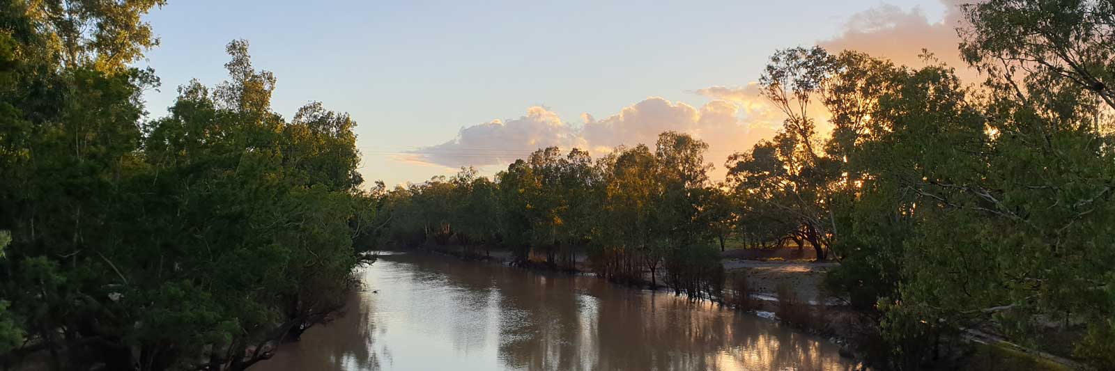
Lachlan River
14 Jan to 03 Feb 2022
As far as I know, I'm the only person that has made it through the marshes since Kirdwood was guided by local aboriginal tribes back in 1878.
Many have pulled out at midway, usually at or before Booligal, with only a couple of people making it to Oxley. You have been warned!
The Lachlan River is considered to be the fourth longest river in Australia. Its source is on the Breadalbane Plain near Goulburn,
on the Great Dividing Range. From here it flows westwards out onto the fertile plains of the Riverina and onto the semi-arid woodlands.
The river ends at the Great Cumbungi Swamp. Water will only reach the Murrumbidgee River during large floods.
I used the phrase "considered to be the fourth longest river" based on the approximations provided by
GeoAustralia,
but from my own analysis it takes third place from the Darling River. Tracing satellite images in QGIS, I calculated that
the Lachlan River at 1,549 km if it flows all the way to the Murrumbidgee River, and is 2 km longer than
the length calculated for the Darling River. The main discrepancy between the measurements is that the Lachlan River snakes it
way down at a much finer level than the Darling River, adding 15% to the estimated length. This distance discrepancy is greatest
towards the source.
The Murrumbidgee River seems to be considerably longer than both of these rivers.
Guides, Resources and References
This trip is difficult and potentially dangerous with some remote sections
in the lower section and hard whitewater in the upper section.
While I am posting this information to assist fellow explorers, you should not rely on
anything stated in this guide without first confirming it independently from more reliable
sources. This guide is not a substitute for proper training from an accredited training provider.