Bulimba Creek
What to expect
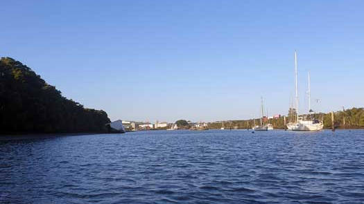
Aquarium Passage is an interesting paddle past various yachts and houseboats in a wide range of ages and conditions. Various abandoned and decaying boats can litter the passage in places.
Soon you leave the industrial area and the journey continues onwards through a tidal stream lined with mangroves.
Logistics
Bulimba Creek is approximately halfway between the Port of Brisbane and Gateway motorway. The best access is likely around Preston Road Park Canoe pontoon.
Tides
Towards the mouth of the river, shallow mud flats are exposed with the low tides. Aim to stay closer to the main channel to avoid a paddle coated in mud.
No current tide details for port: BQ003, title=Bulimba Creek Entrance (Aquarium Passage), low_offset=13, high_offset=13, container-classes=tides-block mb-3, day-classes=col-12 col-sm-6 pb-3
#0: core/debug.inc, line 285, dpr()
#1: core/filters/tides.inc, line 235, print_filter_error()
#2: core/base.inc, line 299, filter_tides()
#3: core/base.inc, line 264, process_page_filters()
#4: docroot/index.php, line 41, process_request()
This could be from a parental filter such as meta
Distance Table
| Location * | Features † | Distance | Total | ||
| Brisbane River, Murarrie / Hemmant | 0 km | 0 km | |||
| R | Hemmant (Aquarium Ave) Boat Ramp, Hemmant | 1.4 km | 1.4 km | ||
| R | Fleming Rd Canoe Ramp (Hemmant Quarry Reserve), Tingalpa | 6.5 km | 8.0 km | ||
| L | Murarrie Recreation Ground Canoe Ramp, Murarrie
Approximately 200 m from the car park to the ramp. |
5.4 km | 13.4 km | ||
| L | Preston Road Park Canoe pontoon, Carindale
Part of Minnippi Parklands. |
5.8 km | 19.2 km | ||
| Meadowlands Rd
Roughly the estimated end of the easy paddling based on aerial photographs. |
|||||
| Source, Stretton | 21.2 km | 40.4 km | |||
Map
Explore the key locations in the map below. Most locations will have a photograph that can be seen by clicking on the icon or number in the map itself.
- Bulimba Creek (Aquarium Passage)
- Boat Ramp
- Kayak Ramp or Paths
What to take
Ensure electronic devices and gear have waterproof containers / dry bags if needed.
What to wear
- Sunscreen / Chapstick *
- Sunglasses *
- Hat *
- Swimwear or shorts †
- Sun protective clothing (rashie) †
- Water shoes †
What to take
- Water
- Snacks
- Phone
- Camera
- Watch
- Sponge
- Rain jacket
- Spare clothes / Towel
Safety
- PDF (life jacket) *
- Whistle
- Paddle float ‡
- Bilge pump ‡
- Paddle lease
- Spare paddle
- Light (night paddling)
* Highly recommended (aka required)
† You should wear clothing and footwear that you can comfortably swim in.
‡ These are for self or assisted rescues where you can't easily reach the shore.
Safety
Tidal flows can be noticed. If going against the tide, plan for 1 - 2 kph flow. Otherwise, follow standard kayaking safety procedures and enjoy the trip!
Wildlife
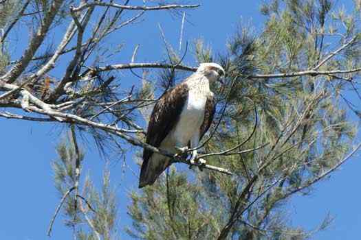
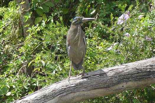
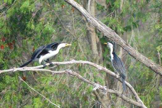
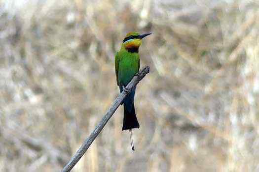
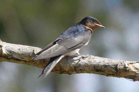
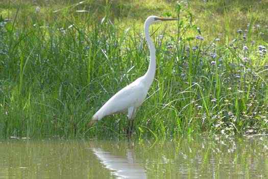
While there is more of an industrial feel to the lower section, there is still a relatively healthy wildlife population to be found as you head upstream.
Quick Stats
- Length
- 40.4 km
- Navigable
- 21.2 km
- Council Areas
- First Nations
- Kabi Kabi
- Directions To
- Aquarium Ave
Fleming Rd
Preston Rd Pontoon

