Breakfast and Enoggera Creeks
What to expect
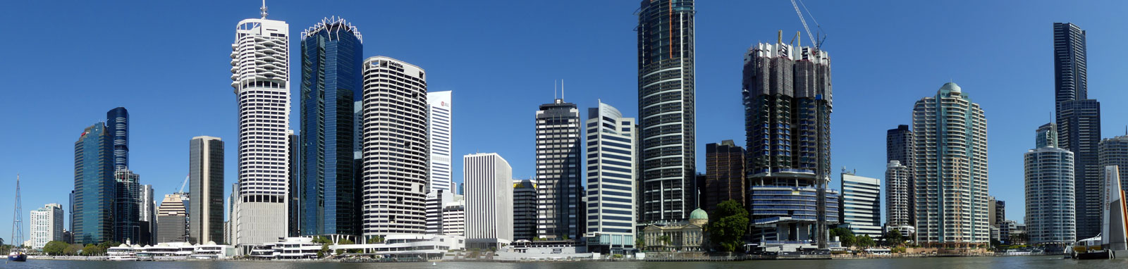
Situated in Newstead, 10 km downstream from the CBD, this small creek has multiple characteristics. At its mouth it has one of the council's boat mooring locations. This is followed by an industrial section with an Australian white ibis (Threskiornis molucca) colony. Shortly afterwards, you get an unusual view looking up at Spaghetti Junction before heading into more park / suburbian riverscapes upstream.
Enoggera Creek (upstream) turns into Breakfast Creek (downstream) where the North Coast railway line (Petrie, Sandgate, Airport lines) crosses the river at the borders of the three suburbs, Albion, Bowen Hills and Windsor. It is frequently labelled incorrectly on many maps.
Logistics
This is an interesting side trip when paddling the Brisbane River, but can be done as a short trip by itself. Boat ramps near the mouth should provide the easiest access.
Tides
A high tide is recommended if heading up past Spaghetti Junction.
No current tide details for port: BQ003, title=Breakfast Creek Entrance, low_offset=25, high_offset=25, container-classes=tides-block mb-3, day-classes=col-12 col-sm-6 pb-3
#0: core/debug.inc, line 285, dpr()
#1: core/filters/tides.inc, line 235, print_filter_error()
#2: core/base.inc, line 299, filter_tides()
#3: core/base.inc, line 264, process_page_filters()
#4: docroot/index.php, line 41, process_request()
This could be from a parental filter such as meta
Distance Table
Map
Explore the key locations in the map below. Most locations will have a photograph that can be seen by clicking on the icon or number in the map itself.
- Breakfast Creek
- Inner City Bypass
- Burrows Rd Bridge
- North Coast Railway Bridge
- Railway Bridges
- Spaghetti Junction
- Kayak Ramp or Paths
What to take
Ensure electronic devices and gear have waterproof containers / dry bags if needed.
What to wear
- Sunscreen / Chapstick *
- Sunglasses *
- Hat *
- Swimwear or shorts †
- Sun protective clothing (rashie) †
- Water shoes †
What to take
- Water
- Snacks
- Phone
- Camera
- Watch
- Sponge
- Rain jacket
- Spare clothes / Towel
Safety
- PDF (life jacket) *
- Whistle
- Paddle float ‡
- Bilge pump ‡
- Paddle lease
- Spare paddle
- Light (night paddling)
* Highly recommended (aka required)
† You should wear clothing and footwear that you can comfortably swim in.
‡ These are for self or assisted rescues where you can't easily reach the shore.
Wildlife
Minimal wildlife was seen on Breakfast Creek but I would expect this to change as you head upstream on Enoggera Creek past Spaghetti Junction. A large colony of Australian White Ibis was seen near the rail yards.


Quick Stats
- Length
- 40.4 km
- Navigable
- 6.8 km
- Council Areas
- First Nations
- Kabi Kabi
