Upper Brisbane River
Wivenhoe Dam to Kholo Crossing
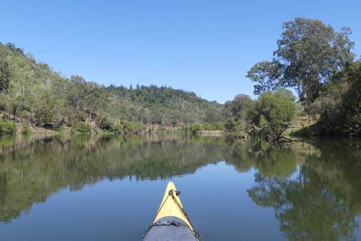
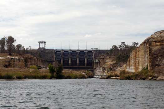
The Upper Brisbane River section covers paddling from Spillway Common below Wivenhoe Dam, down to Kholo Crossing in Ipswich.
What to expect
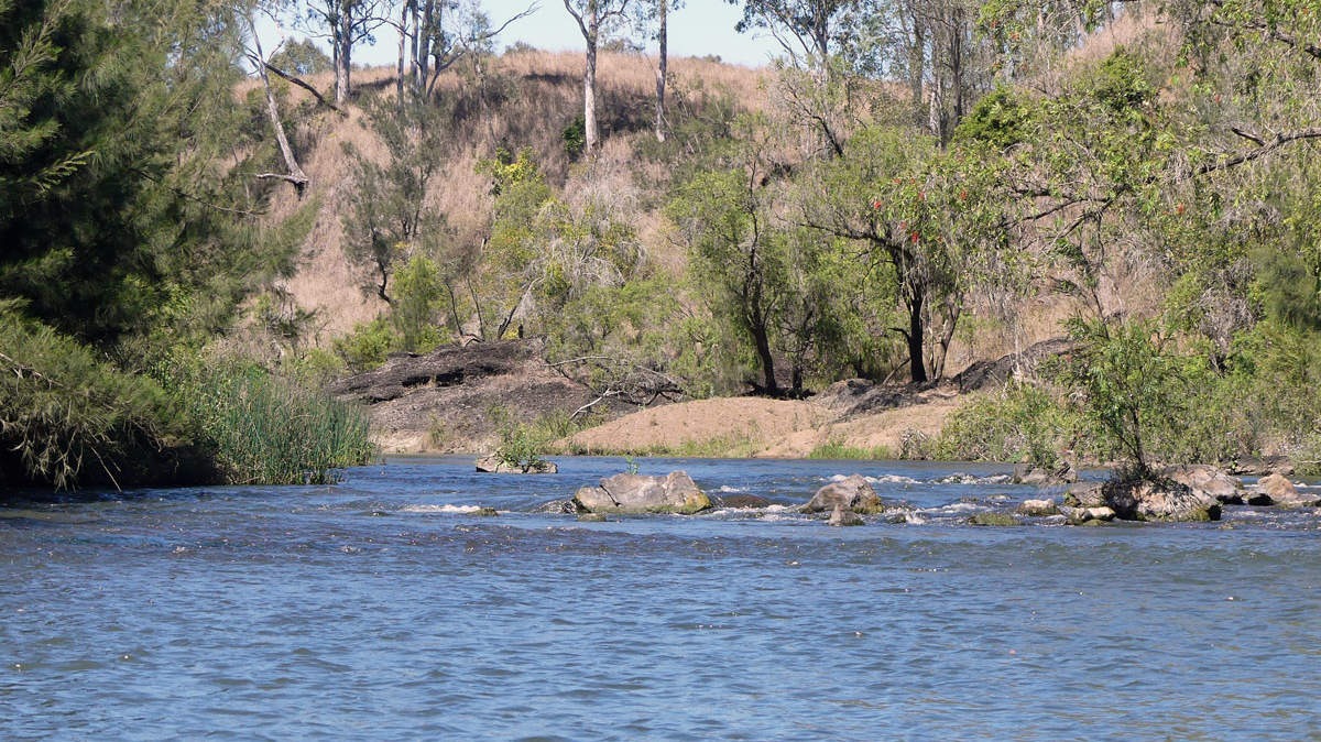
The trip is approximately 98% flatwater paddling on wide river sections with 2% on shallow gravel rapids (Grade I) with the occasional log to duck under or to bounce over.
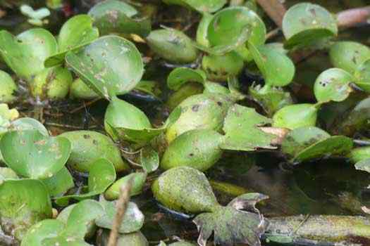
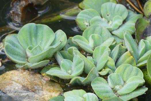
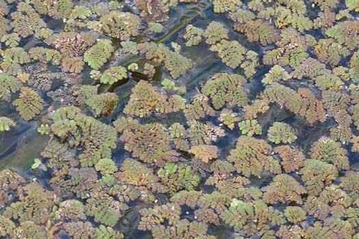
This river makes for a rather special kayaking trip so close to the city. It also has a permanent and usually fairly gentle water flow. This trip would only be spoiled by flooding or by long dry spells that would give time to allow the Water hyacinth, Salvinia and Cabomba to clog up the waterways.
Logistics
This trip could be tackled in a fast plastic Sea Kayak in a marathon day (52.7 km mostly flat water), but is likely best to spread your trip over 3 to 4 days depending on your craft. My personal recommendations would be to split the trip into three sections:
- Spillway Common to Twin Bridges (14.8 km)
- Twin Bridges to Burtons Bridge (17.5 km)
- Burtons Bridge to Kholo Crossing (20.4 km)
I would expect most recreational paddlers to take between six to eight hours to complete the leg below Burtons Bridge, maybe longer with a SoT or inflatable raft. In a 5.2 m sea kayak, I made it down in 3.5 hours.
There are multiple put-in points along the river depending on your plans and time. Most are open 24 hours other than the SEQWater controlled Spillway Common that closes from 6:30pm to 5:30am in summer (September – April) and 5:30pm to 6:00am in winter (May – August), and the Ipswich Council controlled Kholo Gardens that is closed between 6pm and 6am.
It is possible to paddle upstream too and this was how I tackled this section over three successive days in a sea kayak with a total of 117.2 km after including some of the restricted sections by accident. If you do attempt paddling upstream, I would suggest paddling upstream first so that you can turn around in case it is taking too long or is too difficult for your skill levels. I only had to portage once around the weed boom at Kholo Gardens, but I did get out and drag the kayak upstream on about a dozen occasions where it was too shallow / steep to paddle. It took me just over 4.5 hours to paddle up to Burtons Bridge, I would expect a fairly full day paddling a creek boat or SoT upstream.
Distance Table
| Location * | Features | Distance | Total | ||
| Wivenhoe Dam Wall | 0 km | 0 km | |||
| L | Spillway Common Kayak Ramp
The gravel beach on the southern edge of the pond below the spillway. |
0.6 km | 0.6 km | ||
| R | Lowood Bend
Three small rapids and people will mark the spot. |
9.0 km | 9.6 km | ||
| Wivenhoe Pocket Crossing, Twin Bridges Reserve
Toilets are at the nearby Fernvale Rest Area. |
5.8 km | 15.4 km | |||
| R | Brisbane Valley Hwy Crossing, Twin Bridges Reserve | 1.0 km | 16.4 km | ||
| Savages Crossing Recreation Area, | 4.2 km | 20.6 km | |||
| R | Burtons Bridge
Effectively the last hassle free public access spot before Kholo. |
12.3 km | 32.9 km | ||
| R | Sapling Pocket Nature Refuge | 7.4 km | 40.3 km | ||
| R | Kholo Botanical Gardens
Kayak ramp with a long uphill path to the gardens that would make for an energetic start or finish for a trip. |
11.7 km | 52.1 km | ||
| R | Kholo Crossing | 1.2 km | 53.3 km | ||
| Mount Crosby Weir
Below Kholo Bridge is currently a restricted area without any portage options around the weir. |
8.9 km | 62.2 km | |||
* Side represents either the left / port (L) or right / starboard (R) sides when facing downstream.
Lowood Bend, Twin Bridges, Savages Crossing and Kholo Crossing are all popular with families to swim and cool off in summer. Campers seem to take all available spaces around Twin Bridges and Savages Crossing during school holidays. Fishing spots can be found in all public areas.
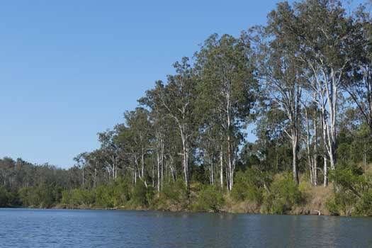
Sapling Pocket Nature Refuge is adjacent to the Kholo Enviroplan Reserve. It is a good lunch spot and is popular with bird watchers. While parts of the surrounding areas are named after the distinctive Hoop Pines found growing here, it is one of the largest remaining dry rainforest areas in southeast Queensland with a narrow strip of open Eucalyptus tereticornis forest along the banks of the river. I believe that permits are required to access Sapling Pocket Nature Refuge by road, but I'm not fully certain on the regulations.
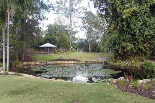
Kholo Botanical Gardens is a quaint and well maintained area that is well worth a visit. This section of the river also is common for platypus viewing. Toilet and BBQ facilities can be found in the gardens. While it does have a well maintained kayak ramp, it makes for a poor take-in or out spot due to the long access ramp, compared to the nearby Kholo Crossing.
Access Restrictions
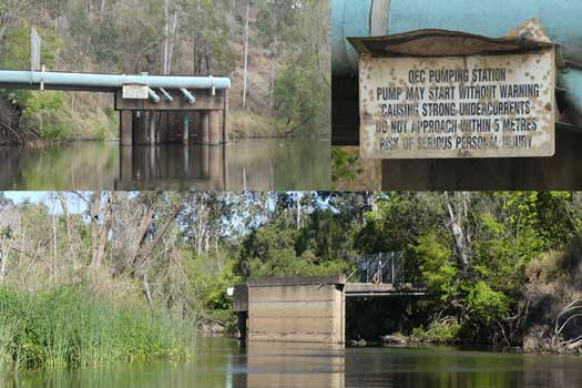
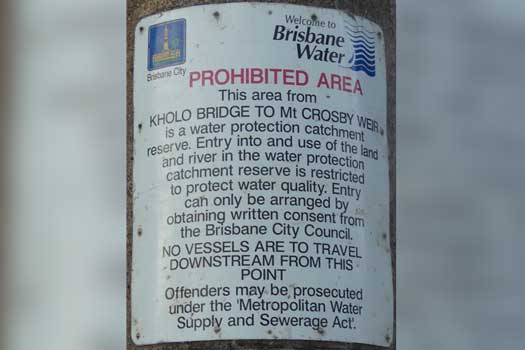
Access is restricted 600 m below the dam wall (the spillway to the put in pond) and according to the signage, the waterway below Kholo Bridge to Mt Crosby Weir. Also there are restrictions against being 100 m above and 200 m below any weir in Queensland. All of the land around the weir is privately owned by SEQWater and has heavy fencing with cameras / patrols. Portage is not an option.
After missing the signage, I did traverse down to the second boom across the river that was 3 km from Mt Crosby Weir. This would likely be the best place to turn around if access to the section is relaxed and if there aren't any portage options added around the weir itself.
Refer to the QLD Governments Recreational boating and fishing for the most up to date information regarding closed waterways.
Map
Explore the key locations in the map below. Most locations will have a photograph that can be seen by clicking on the icon or number in the map itself.
- Lockyer Creek
- Brisbane Valley Highway
- Private Road
- Boat Ramps
- Dam or Reservoir
- Kayak Ramp or Paths
- Viewpoints
- Picnic Tables
- Nature Reserve
- Weir or Low Head Dam
What to take
Ensure electronic devices and gear have waterproof containers / dry bags if needed. Potentially take some camping gear and do this in a single trip over multiple days!
What to wear
- Sunscreen / Chapstick *
- Sunglasses *
- Hat *
- Swimwear or shorts †
- Sun protective clothing (rashie) †
- Water shoes †
What to take
- Water
- Snacks
- Phone
- Camera
- Watch
- Sponge
- Rain jacket
- Spare clothes / Towel
Safety
- PDF (life jacket) *
- Whistle
- Paddle float ‡
- Bilge pump ‡
- Paddle lease
- Spare paddle
- Light (night paddling)
* Highly recommended (aka required)
† You should wear clothing and footwear that you can comfortably swim in.
‡ These are for self or assisted rescues where you can't easily reach the shore.
Wildlife
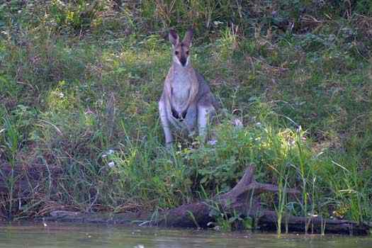
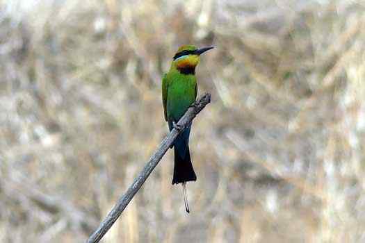
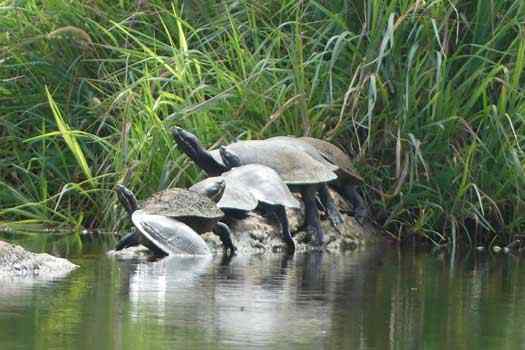
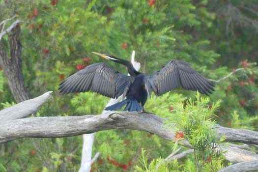
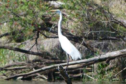
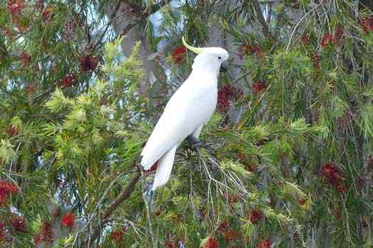
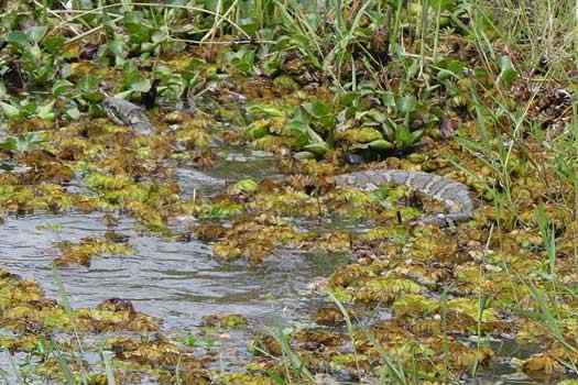
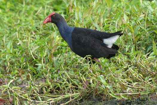
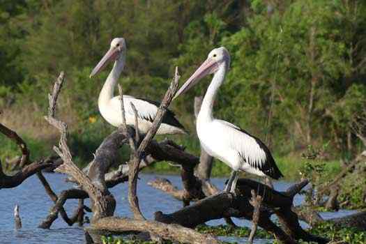
There is a wide variety of birdlife on the river as well as many turtles and water dragons. Mammals are less frequent, but platypus sightings are common around dusk or dawn, as well as various kangaroos and wallabies coming down to the river to drink during the day. You may see snakes in the water, but these will generally hide or dive underwater if you get near them. Multiple large and protected Australian Lungfish can be seen in the river along with many other fish species.
Pests and Weeds
There are a number of problematic water weeds in Australia. These are a few seen on the Brisbane River and show the importance of good boat hygiene when moving between waterways.
Quick Stats
Wivenhoe to Mt Crosby
- Length
- 62.2 km
- Navigable
- 53 km
- First Nations
- Yuggera
- Directions To
- Spillway Common
Wivenhoe Pocket
Savages Crossing
Kholo Crossing

