sunset

Maps

Geoscience Australia provide downloadable topographic maps
50k Map Index, most from northern coastlines, minimal others
100k Map Index, most coastal regions excluding Tasmania
250k Map Index, complete coverage
1 Million Map Index, complete coverage

The Federal Government's National Maps is a useful online topological map with lots of additional data providers like the SRTM 1 sec DEM data set.

Sentinel Hub is a great tool for viewing near real time satellite data including Sentinel, Landsat, and other Earth observation imagery.

Queensland (QLD)
An online tool QTopo that allows you to download 1:100K to 1:25K topological maps and it even allows you to generate your own custom topo maps of areas of interest.
GetLost Maps
Free topographical maps that you can download directly from their website as well as on Avenza Maps.

The QLD Parks and Forest help manage the park and have an array of information available. This should be considered as the official information source related to permits, camping, fishing zones, etc.

Maritime Safety Queensland’s Beacon to Beacon Guides provide navigation maps for selected Queensland waterways.

Book cover

Beacon to Beacon Guide Charts

Pumicestone Passage

by Maritime Safety Queensland

This free booklet from Maritime Safety Queensland contains nautical maps for the Pumicestone Passage from around Beachmere to Caloundra.

Book cover

Beacon to Beacon Guide Charts

Moreton Bay

by Maritime Safety Queensland

This free booklet from Maritime Safety Queensland contains nautical maps from the mouth of the Brisbane River and across to Amity then north to offshore Caloundra and Cape Moreton.

Key locations and distance markers

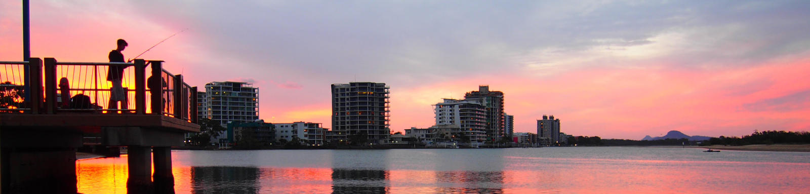
Explore the key locations in the map below. Most locations will have a photograph that can be seen by clicking on the icon or number in the map itself.

The map also has markers every kilometre, starting at 0 from Bongaree Jetty. These go all the way up to Caloundra Bar as well as many of the creeks.

You may need to zoom in to see all of these kilometer markers. These do not correlate with any existing numbering system on the system.

  • Ningi Creek
  • Dux Creek
  • Elimbah Creek
  • Bullock Creek
  • Glass Mountain Creek
  • Thooloora Island
  • Tripcony Bight
  • Long Island
  • Hussey Creek
  • The Skids
  • Coochin Creek
  • Mellum Creek
  • The Narrows
  • Westaways Creek
  • Bells Creek
  • Lamerough Canal
  • Breakthrough
  • Caloundra Bar
  • Wickham Point, Caloundra Head
  • Boat Ramps
  • Causeway
  • Kayak Ramp or Paths
  • Pontoons
  • Weir or Low Head Dams