")
Planning
Some additional info for anybody considering to do the Lachlan River by kayak.
A look at the flow and management at key locations

Flow is one of the most important considerations for any trip.
Aiming for a higher flow at Cowra would be preferred as these decrease as you pass Forbes. Flows are rarely above 2,500 ML/day below Willandra Weir and 500 ML/day downstream of Booligal and towards the Great Cumbungi Swamp.
MDBA listed four potential constraints to flow along the system that would affect delivering water to the Great Cumbungi Swamp. Flows above these will likely cause some level of flooding:
Only large floods are likely to reach the Murrumbidgee River. Logistics of bridging this gap are a bit of an unknown at the time of writing this. Planned extensions to the Wyangala Dam will likely moderate future flows down the Lachlan River after 2024 and flood events that could reach the Murrumbidgee River will become very rare.
The following box and whisker charts show the lowest value observed using the bottom whisker; the box is constructed with the 25%, 50% and 75% quartiles; and the top whisker marks the 90% percentile. The top 10% of records (floods) are excluded as these stretch the chart and make it unreadable.
Blue-orange box plot represents observations between Jan 1 1980 and Dec 31 1999, while the brown-yellow box-plots represent observations between Jan 1 2000 and Dec 31 2019.
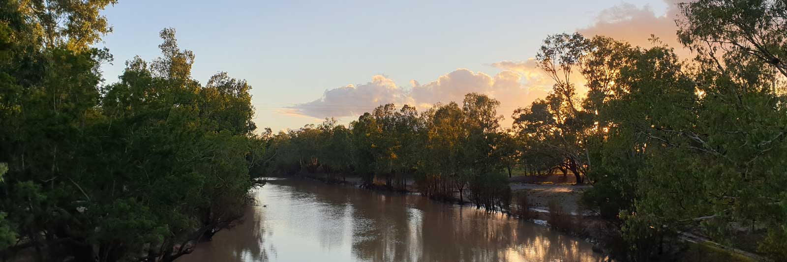
Cowra First town downstream of the Wyangala Dam.
")
")
Forbes has a slightly larger population than Cowra. Heading downstream from Jemalong Weir to Willandra Weir (just above Hillston), flow will likely be slowed along this stretch.
")
")
Condobolin
")
")
Lake Cargelligo ...
")
")
Hillston
")
")
Booligal
")
")
Corrong
")
")
")
It is difficult to suggest average times that the water takes to flow downstream due to the large number of weirs and agricultural diversions in place. A recent flow event took 30 days from Cowra to Corrang, (1,150 km), representing a flow rate of around 38 km per day. It would be difficult to say if this was purely the natural flow. The steepest section is the leg from Cowra to Gooloogong, and even this only drops 35cm per km (0.35‰) or about 1 in 3,000 gradient.
With a second wet season in a row, the flow in 2021 was even higher than 2020. The regular rain and then flooding in November can be clearly seen along the river system where the water gets constricted at various points with significantly higher flows than MDBA suggest albeit some flooding was seen.
Storage systems on the river also play a factor in regulating the flow and for flood control. There are three major storage systems on the river. Wyangala Dam is the most important dam with 1,220 GL storage. The two smaller Lake Cargelligo (36 GL) and Carcoar Dam (36 GL) also play a role in irrigation. Environmental flows will be released in Spring if there is water available, but this may not be enough to make the lower river paddlable.
For more info about dam and weirs on the river, visit this page.

©2026 Alan Davison // Credit // Disclaimer