


Upper Lachlan
Digest of the key info on tracks and stops above Cowra.
Key Waypoints and Information
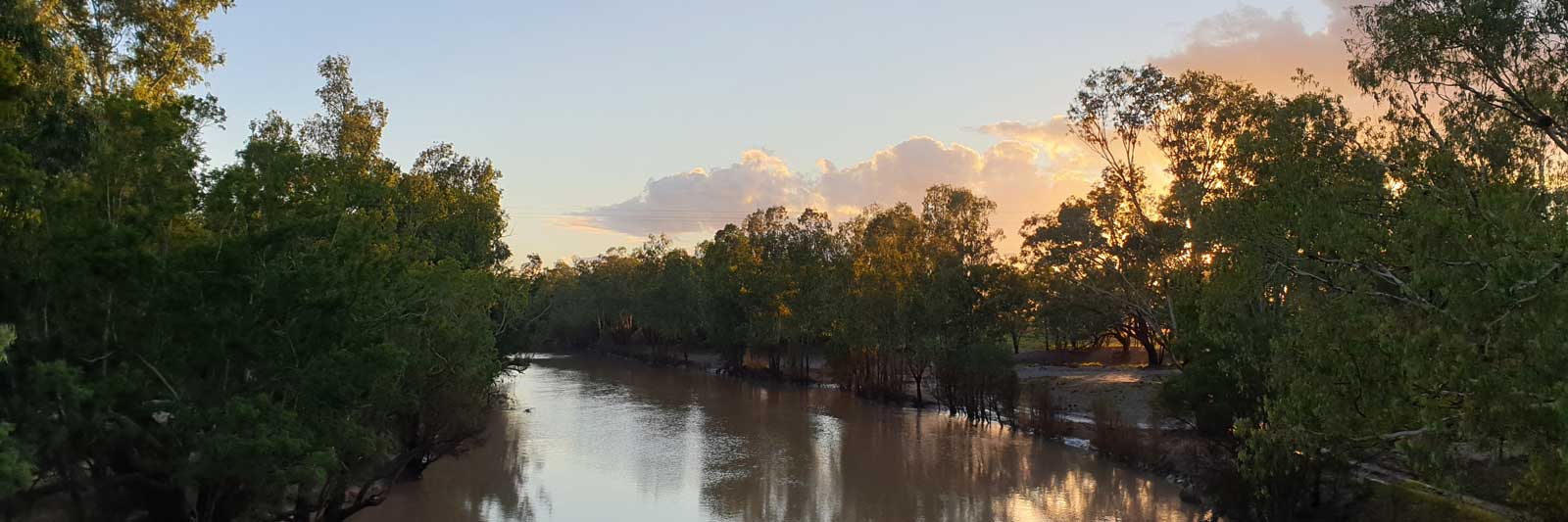
The main section of the river is below Cowra. This starts off in the lower inland slopes of the Great Dividing Range but is mostly on the flat expansive alluvial plains of the South West Slopes and Riverina regions that provide fertile agricultural land for many farms.

On a good flow this section has high banks lined with river gums with a similar feel to areas on the upper Murrumbigie but with more farms. Being a narrower river, you do have to take more care with the willow trees as you head down. It should be good in almost any flow.
There is an extremely detailed guide for this section by Steve Howard on Waterways Guide.


About 40 km is a distinctive ridgeline that the river cuts through and this acts as a bit of a choke. Jemalong Range is to the south, Corridgery Ridge to the north. Sometimes referred to as Gunning Gap, but this is the next gap north that separates the break between Corridgery Ridge and Gunning Ridge. In high flows, flooding is more likely to be found upstream of the gap. Jemalong Weir is built on the river at the gap.

There are two main divides in the river downstream at Island and Bumbuggan creeks.
Taking Island Ck is 52.4 km, while staying fully on the Lachlan River is 70.1 km to the point they rejoin.
Taking Island Ck to Condobolin is 101.1 km, which compares to 74.3 km if you stayed on the Lachlan but followed the flow down Bumbuggan Ck to Condobolin.
As most flow stays with the Lachlan, I would not recommend taking Island Ck.

Bumbuggan Creek flows into Goobang Creek and rejoins the Lachlan River at Condobolin. The majority of the flow goes into Bumbuggan Ck and you could easily miss where the Lachlan diverges if you are not paying attention to a map.
The combined 65.3 km for the Bumbuggan (11.3 km) and Goobang (54 km) creeks to Condobolin is 4.8 km shorter than staying on the Lachlan River (70.1 km).
I would highly recommend taking Bumbuggan Creek and to follow the flow down to Condobolin.

No stores?

The river divides at Torriganny Creek (41.9 km) that rejoins the Lachlan 51.7 km downstream above Booligal. More flow seems to go this way, but there are two irragation offtakes and two distributaries on Torriganny Creek that could take significant amounts of the water out of the system. I would advice scouting out the flow along the creek before paddling this.

No stores or facilities other than the Telstra payphone hidden at the end of Cunningham Street. The 4 Mile gauge is about 15 km upstream.

Good flows will make it into the Great Cumbungi Swamp, but only large floods make it to the Murrumbidgee River.
The "End of System" gauge is in the main channel of the river within the heart of the swamp. I traversed past this at 0.8 m where the level within the swamp was great, but water was very low leaving the swamp at this height. I believe that the "SW Floodplain Levee at Wetspot" guage is behind the levee in the channel that is chocked with reeds. At 0.35 m there was a slight flow from the swamp into the Lachlan and this guage may be an indication for this.

As you near the end, the natural river course is blocked by multiple levees and channels. The following diagram shows the course I took. The original natural river course is in red, my track is in orange and the channels and / or levees are in blue.

Portages around reedy sections become common around the 16 km marker and impassible well before the 15 km marker. By share luck, cutting across towards the meandering curve at marker 15 directed me right to the start of the road along the levee.
I would estimate that I had about 500 m where I was dragging my kayak through vegetation while in ankle to knee high water. Once I was on the road, I had 2 km portage along dirt roads to where I was able to rejoined the Lachlan. The river was not flowing here until it meet another stream that had managed to bypass the levee.
As noted, this only flows during larger flood conditions. It is 131 km from Balranald, 235 km from the Murray.


©2026 Alan Davison // Credit // Disclaimer