


What to expect?
Spoiler of the conditions along the route
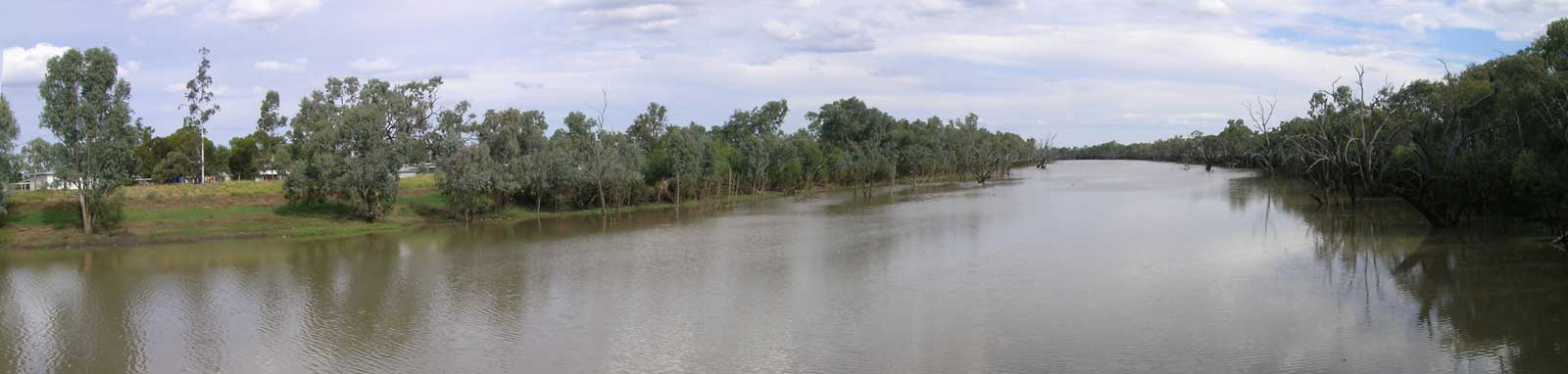
Mount Sugarloaf (1,145 m), which is the highest and most prominent mountain in the Carnarvon Range. It is located just inside Carnarvon National Park. Sunday and Dooloogarah creek flow through Dooloogarah station, and Channin Creek flows through Carnarvon Station Reserve.
Geologically speaking, the Dooloogarah-Channin Creek junction is an obvious source location, however, according to Queensland Topographic Maps, the start of the river is at the confluence of an unnamed creek just downstream of Kelly Gully. This is located approximately 15.3 km upstream.
Distances mentioned in this guide are measured from the confluence of Channin Creek.

Augathella is a small rural town on the Landsborough Highway and is known for its rich pastoral history with both the wool and beef industries. The town was originally founded in the late 1800s and quickly became an important hub for the surrounding stations. Today, the town has a population of around 400 people and is home to a range of local amenities, including a hotel, general store, post office, and primary school.
Augathella also has a number of historic buildings and landmarks, including the iconic 'Augathella Meat Ant' sculpture, which was erected in 1980 to celebrate the town's association with the wool industry.
Greyhound Buses service the town via the Mt Isa to Brisbane bus route.

Charleville is the largest town along the river with a rich history dating back to the late 1800s. Today, Charleville still serves as an important regional transportation and commercial hub for the surrounding areas. It has a population of around 3,000 people and is home to a range of local amenities, including a hospital, schools, shops, and restaurants.
The town is also home to a number of cultural and historical attractions, including the Charleville Cosmos Centre and Observatory, which offers visitors the chance to explore the night sky and learn about astronomy and the Charleville Bilby Experience, a wildlife sanctuary which runs a captive breeding program for the greater bilby.
The Westlander train and Greyhound Buses (Mt Isa to Brisbane route) both service the town, along with Charleville Airport.
Wyandra was originally founded in the 1800s as a stopover point for cattle drovers traveling between western Queensland and New South Wales, located halfway between Charleville and Cunnamulla. Today, it is a small, peaceful town with limited amenities, but it provides a pleasant spot for a break and to explore some of the remaining historic outback architecture around the town.
The Westlander train has a bus service that runs between between Cunnamulla and Charleville a couple times a week that stops in Wyandra.

Cunnamulla is an authentic outback town with a population of around 1,000 people, making it the second largest town on the river, and it has a full range of local amenities. The town was aptly named after the local Aboriginal word for "deep waterhole" due to the presence of reliable water supply, which made it an important stopping place for local stock routes. Later, the town became a stop for Cobb and Co coaches, and it was officially founded after the first coach stopped there in 1879.
Cunnamulla is the final major supply point before a long paddle to the Darling River down to Wilcannia. Limited supplies can be found at Barringun, Enngonia, and Fords Bridge.
The Westlander train has a bus service a couple of times a week between Cunnamulla and Charleville.
Cunnamulla Weir holds 4.8 GL and is 2.2 km downstream of Cunnamulla.
A large attenuation of the flow can be seen downstream between Cunnamulla and Barrigun where the river channels and becomes a large floodplain. A significant amount of water is lost into the Paroo River via Cuttaburra Creek in high flows, although much of this can be trapped in Yantabulla Swamp that lies between the two rivers.
Barringun is a tiny NSW town on Barringun Creek just south of the border that was once an important customs point controlling transport between Bourke and Cunnamulla before federation. The historic Tattersall Hotel burnt down in 2017, leaving the roadhouse and caravan park as the last store serving the area.

Enngonia was named after the horse station known as Erin's Gunyah (Irish Hut) built back in 1859 and had a variety of names until being known as Enngonia in 1871. Despite its small size, Enngonia is a unique and charming destination for those seeking a genuine outback experience, especially for those seeking an interesting bushranger history.
Limited services with just a post office and pub, the Oasis Hotel.
There are three dams between here and Fords Bridge:
Small town with few amenities other than an original mud brick pub, the Warrego Hotel, perhaps one of the last mud brick pubs in the country. This was once an old Cobb & Co stop.
There are seven dams and a road crossing between Fords Bridge and the Darling River:

It would likely be unfeasible to attempt to paddle upstream to Bourke, (~150 km), so the only options for an early escape from the river would be from Louth or maybe via Rose Isle Station that is located approximately 5 km upstream.
It is 494 km to Wilcannia.

Some basic supplies could be available from the pub if it is open. There is tank water can be found beside the town hall near the public toilets.

No supplies or water, but you can often get a meal or a drink at the Tipla Hotel. Showers available in the public toilets, but check that these are working properly first.

First semi-major town on the Darling River with a daily bus by TransportNSW on the Broken Hill to Dubbo route. Limited public transport services can also be found in Menindee and Wentworth.

©2026 Alan Davison // Credit // Disclaimer