Key Waypoints
A quick reference to many key locations along the route
A look at the flow required in key locations
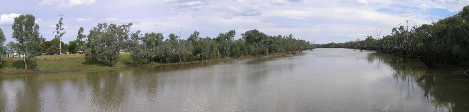
Based on the flow event from early 2023, it seems that attempting to navigate this river will be difficult. Three times I have watched floods on the system waiting for a paddling window to attempt it and all three times I have pulled out before trying to paddle it.

Due to the remoteness of the system and limited water gauges, I found it more difficult to analyse the flow down the waterway compared to other rivers. To assist with the task at hand, I used Sentinel Hub to track the flow down using satellite imagery. I found that customising the imagery by using bands 12, 11, and 2 for the red, green, and blue channels made this task much easier. This creates a bright yellow image with a dark ribbon for the water in the channel, making it easy to visualise the flow as it slowly makes its way down.
After doing some more research, some key observations include:
The 2024 flood was driven by three rain events on a wet upper catchment with at least one rain event in the middle section. Tambo is the only gauge in the upper section and recorded 164.6 mm over 13 days. Charleville had 86.6 mm and Mitchell 64.8 mm over 4 days.
There are two main distributaries, floodplains to the east to the Culgoa (Noorama and Widgeegoara Creeks) and Cuttaburra Creek to the west that joins the Paroo.
There have been two 100,000 ML/day flows since 2017. There is a hint that the 2020 flood may have allowed Widgeegoara Creek to make it all the way over to the Culgoa but it is uncertain if the Noorama did. High cloud levels make it difficult to see the flow and since the Nebine Creek was flowing, it could have been a rainfall driven flow. The 2024 flood doesn't appear to have made it over.
Cuttaburra Creek is far more important and takes the majority of the flood waters. The 2024 flood (100,000 ML/day) was slowed in the floodplains but it was possible to directly measure flows downstream of the outflow to compare. Cuttaburra Creek peaked at 37,400 ML/day, while downstream on the Warrego at Barringun, a peak of 8,500 ML/day was seen. This suggests over three quarters of the water is lost flowing into the Paroo.
The image below shows the significant water loss to Cuttaburra Creek. A lot of this flow terminates in Yantabulla Swamp, but in high flow like the 2020 floods, the creek eventually joins the Paroo River about another 150 km downstream. The extensive floodplains of the Warrego along with the Irrara and Toombah Creeks, also slow and trap much of the remaining flow.

Image Key:
There are two other minor distributaries / outflows to note.
The river splits into multiple branches downstream of Cuttaburra Creek and is best described as an anastomosing system. There is a major western and eastern split with the Irrara and Toombah Creeks on the west and the Warrego on the east flowing past Enngonia. There are two distinct distributaries on the Irrara, the Kerribree and Green creeks. A 115 GL/day plus major flood at Cunnamulla in 2024 showed the loss of some water on these creeks, but neither fully flushed as seen in the image below. The Kerribree would eventually flow across to the Paroo and the Green back down to the Warrego.
It appears that Multagoona Dam is fully removed and water from the 2024 flood did rejoin the Warrego via the lower Irrara, but in April 2021 with a 19 GL/day flow event, it appears that only marginal water made it make to the Warrego and this final section may not have been navigable.

Image Key:
Analysis of the satellite imagery suggests water often made it to Dicks Dam, but there were only limited flow events at Peoples Dam between 2017 and 2024.
April 2019 (Cunnamulla 78 GL/day)
Between 2019-04-26 and 2019-05-06 water appears to at least reach the Dam, and this was fairly fill 2019-05-21 and drying as of 2019-06-05.
November 2019 (Cunnamulla 0 GL/day)
Maybe a short pulse made it between 2019-11-12 and 2019-11-17, but imagery on either side of these dates appear to show less water. Possibly a localised rainfall event as no flow was seen upstream.
March 2020 (Cunnamulla 119 GL/day)
Between 2020-03-06 and 2020-03-11, the dam started to flow, and was likely over by about 2020-04-15.
April 2021 (Cunnamulla 19 GL/day)
Small flush appears to start 2021-04-05 and is dry by 2021-04-15, while flushes after 2021-04-20 suggest the flooded Darling is causing this.
December 2021 (Cunnamulla 9 GL/day)
There was a small flow around 2021-12-11 and possibly down to the Darling. Any other flows around this period would be hidden from prolonged Darling flooding (2022-03-26 onwards).
January 2024 (Cunnamulla 4 GL/day)
A very small flow may have made it 2024-01-30.
April 2024 (Cunnamulla 115 GL/day)
The lower system did flush below Dicks Dam between the 2nd and 4th May 2024, providing about a two week window.
The table below looks at key peak flows and dates of the four flows that likely would have allowed a trip along the lower system noting that the smallest flow was assisted with the Darling being in minor flood. A few of these flows had double peaks and those are indicated in the table.
| Flow Events | Cunnamulla | Barringun No 2 | Fords Bridge | Dicks Dam | Peoples Dam | Darling Louth |
|---|---|---|---|---|---|---|
| 2019 | 77,900 ML/day 3 Apr |
3,900 ML/day & 1,820 ML/day 11 Apr & 25 Apr |
1,490 ML/day & 1,250 ML/day 25 Apr & 7 May |
730 ML/day 20 May |
 |
580 ML/day 20 May |
| 2020 | 115,600 ML/day & 61,400 ML/day 1 Mar & 14 Mar |
18,300 ML/day & 6,900 ML/day 8 Mar & 20 Mar |
4,900 ML/day & 5,300 ML/day 19 Mar & 30 Mar |
1,080 ML/day & 1,490 ML/day 27 Mar & 6 Apr |
 |
10,700 ML/day 27 Mar |
| 2021 | 18,800 ML/day & 3,200 ML/day 25 Mar & 4 Apr |
2,200 ML/day & 680 ML/day 31 Mar & 9 Apr |
745 ML/day 14 Apr |
490 ML/day 25 Apr |
 |
27,500 ML/day 25 Apr |
| 2024 | 115,500 ML/day 12 Apr |
8,600 ML/day 22 Apr |
2,030 ML/day 6 May |
960 ML/day 24 May |
 |
4,900 ML/day 24 May |
Flooding on the Darling River also may help traverse the bottom 25 km below Dicks Dam, the section that sees the least amount of flow.
 10th May 2021")
 15th Jan 2022")
The speed down the system is dependent on a number of factors, but rough rule of thumb estimates can be worked out by watching older flows. Speed is really of the essence in the first section, but slows significantly below Cunnamulla.
| Upper* | Wyandra | Cunnamulla | Barringun | Fords Bridge | Dicks Dam | Darling |
|---|---|---|---|---|---|---|
| 13.4 GL/day 05 Jan 2016 |
13.4 GL/day 07 Jan |
9.9 GL/day 11 Jan |
1.2 GL/day 18 Jan |
360 ML/day 31 Jan |
49 ML/day 09 Feb |
n/a |
| 33.8 GL/day 20 Sep 2016 |
69.4 GL/day 23 Sep |
49.2 GL/day 25 Sep |
3.9 GL/day 04 Oct |
1,540 ML/day 19 Oct |
420 ML/day 23 Oct |
n/a |
| 58.4 GL/day 31 Mar 2019 |
106.2 GL/day 02 Apr |
77.9 GL/day 04 Apr |
3.9 GL/day 12 Apr |
1,490 ML/day 25 Apr |
610 ML/day 04 May |
06 May-06 Jun |
| 113.1 ML/day 07 Apr 2024 |
195.8 ML/day 09 Apr |
115.5 ML/day 12 Apr |
8.6 ML/day 22 Apr |
2.0 ML/day 06 May |
960 ML/day 14 May |
14-24 May |
| 2-3 days 216 km 70 km per day |
3 days 119 km 40 km per day |
7-10 days 165 km 19 km per day |
13-15 days 139 km 10 km per day |
7-9 days 86 km 8.5 km per day |
1 day† |
* Upper means Binnowee and / or Augathella
† Peoples Dam usually has a flow of water before the peak seen at Dicks Dam (if the flow makes it that far)

©2026 Alan Davison // Credit // Disclaimer