
Lake Doonella
Small lake reserve that separates Noosaville from Tewantin
A small shallow tidal creek, best suited to unpowered boats.
Tidal creek lined with mangroves at the start. Best timed with a high tide as it can get shallow and rocky.
Along with the short trip up the lower Wooroi Creek, the islands of the Tewantin Reach on the Noosa River make for an interesting extension.
The circumnavigation around the private Makepeace Island is 2.8 km and Sheep Island is a tad trickier and longer, 4.5 km. All trips starting from the boat ramp beside the ferry.
Lower Wooroi Creek
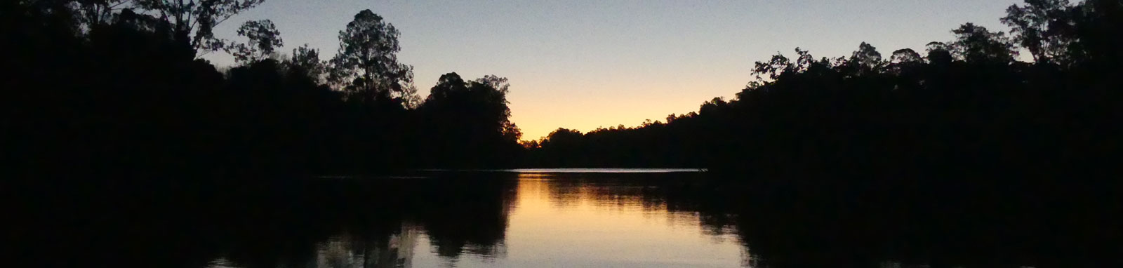
Sheep Island, Noosa River
Sand / gravel boat ramp just downstream of the North Shore ferry on the Tewantin side of the river.
The creek is deepest at high tide with a small tidal range of up to 0.4 m in high tides.
No current tide details for port: BQ021, "format=datum,days", low_offset=120, high_offset=82, title=North Shore Ferry, day-classes=col-12 col-sm-6 pb-3, container-classes=tides-block mb-3
#0: core/debug.inc, line 285, dpr()
#1: core/filters/tides.inc, line 235, print_filter_error()
#2: core/base.inc, line 299, filter_tides()
#3: core/base.inc, line 264, process_page_filters()
#4: docroot/index.php, line 41, process_request()
Explore the key locations in the map below. Most locations will have a photograph after being visited that can be seen by clicking on the icon or number in the map itself.
The map also has markers every 100 metres that start at 0 from the boat ramp.
You may need to zoom in to see all of these markers. These do not correlate with any existing numbering system on the lake.
Ensure electronic devices and gear have waterproof containers / dry bags if needed.
What to wear
What to take
Safety
* Highly recommended (aka required)
† You should wear clothing and footwear that you can comfortably swim in.
‡ These are for self or assisted rescues as there are places that you can't easily swim back to the shore.
The islands on the Noosa River would likely have the most abundant wetland birds with the smaller creek making it more likely to see other species from the surrounding reserves. This section is still more brimy than upstream, so expect to see mangroves lining the shores and lower reaches of the creek.


Quick Stats

©2026 Alan Davison // Credit // Disclaimer