
Lake Weyba
Large coastal lake connected to the Noosa River by the tidal Weyba Creek.
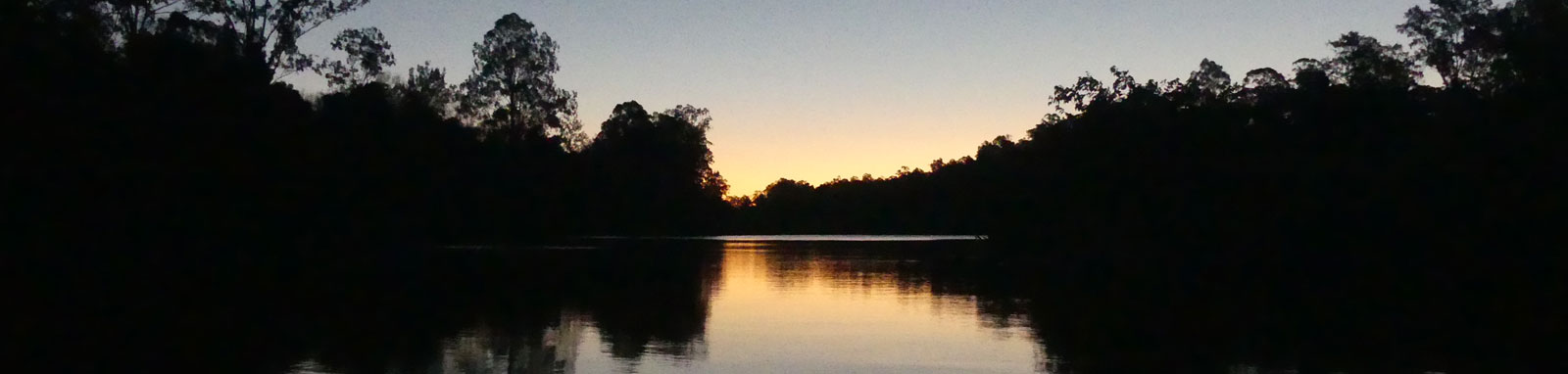
Lake Doonella is the smallest of the river system’s main lakes, but it has excellent fishing and is a great place for kayaking and paddle boarding.
A small shallow lake best suited to small boats, kayaks, canoes and paddle boards.
Parts of the shoreline are developed, but there is still considerable vegetation including a mangroves fringe fronting remnant Melaleuca forest. The lake is silting over time and mangroves are likely to be emerging from the shallower sections into the future.
The lake is about 1.5 km long and 0.6 km wide.
There are two boat ramps on the Noosa River near the lake entrance. Doonella Boat Ramp just downstream on the entrance itself, while the Tewantin Boat Ramp that is slightly upstream past the marina and splash park.
The lake is influenced by the tides and deepest at high tide, especially important if you plan to attempt the bottom of Cranks Creek.
No current tide details for port: BQ021, "format=datum,days", low_offset=106, high_offset=61, title=Lake Doonella Entrance, day-classes=col-12 col-sm-6 pb-3, container-classes=tides-block mb-3
#0: core/debug.inc, line 285, dpr()
#1: core/filters/tides.inc, line 235, print_filter_error()
#2: core/base.inc, line 299, filter_tides()
#3: core/base.inc, line 264, process_page_filters()
#4: docroot/index.php, line 41, process_request()
Starting at the Doonella Boat Ramp on the Noosa River and heading anti-clockwise around Lake Weyba, you have:
| Location | Distance (km) § | ||
|---|---|---|---|
| Leg | Total | ||
| Lake Doonella Boat Ramp | -0.1 | ||
| Lake Entrance | 0.1 | 0.0 | |
| Cranks Creek | 1.6 | 1.6 | |
| Lake Doonella Boat Ramp | 2.3 | 3.9 | |
§ Distances have been manually calculated from the river mouth.
Explore the key locations in the map below. Most locations will have a photograph after being visited that can be seen by clicking on the icon or number in the map itself.
The map also has markers every 100 metres that start at 0 from the boat ramp.
You may need to zoom in to see all of these markers. These do not correlate with any existing numbering system on the lake.
Ensure electronic devices and gear have waterproof containers / dry bags if needed.
What to wear
What to take
* Highly recommended (aka required)
† You should wear clothing and footwear that you can comfortably swim in.
The lake has seen a large number of wetland birds as well as other species from the surrounding reserves, particularly black swans. In dry climatic conditions, the bird numbers increase.
Avicennia marina is dominant mangrove species close to the entrance of the lake, with Rhizophora stylosa also being abundant along the lake’s north-western shore.


Trip Details
Circumnavigation
Quick Stats

©2026 Alan Davison // Credit // Disclaimer