
Tributaries
Details on some of the tributaries and lakes
Including Weyba Creek
Lake Weyba is a shallow tidal lake surrounded by an attractive forest setting with a variety of vegetation communities that includes mangroves, salt-pans and open forest. The shorelines are dominated by melaleuca wetlands.
Lake Weyba has both traditional and historic significance to the Kabi Kabi People. Scattered around the lake and foreshore are bora rings, burials, scarred trees, fish traps, and numerous shell middens.
The lake is fairly shallow that limits anything other than smaller boats on its waters. The lake is popular with shallow-draft boats such as catamarans, kayaks, canoes, kite surfers, paddle boards and other small boats.
The lake is about 4.2 km long and 2.5 km wide in places.
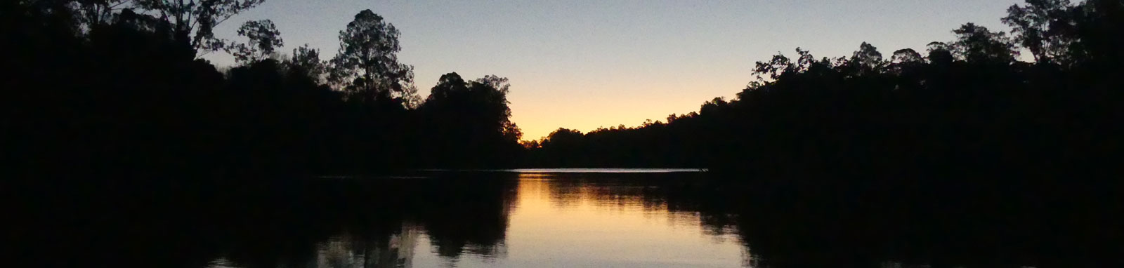
Lake Weyba tidal connection is through Weyba Creek, a shallow meandering estuarine channel flanked by wetlands and seagrass beds.
A number of paddling options are available depending on your time and mood. From an urban paddling around Noosa canals to a more sedate paddle away from the bustle of Noosa.
Canals
Keyser Island
Upper Weyba
Circumnavigation
The foreshore of Lake Weyba has limited facilities with no formal boat access to the lake, however there are two launch sites for portable boats from the foreshore park along Lake Weyba Drive. This area is currently being redeveloped. The other launch sites are on upper Weyba Creek
The two main put-in spots for Weyba Creek are from the mid to upper sections with a Canoe Ramp and Boat Ramp.
Lions Park can be used for shorter paddles on the lower Weyba Creek but like all of the main car parks in Noosa, this can be very difficult to find a parking spot.
Some sections and side creeks can get shallow at low tide.
No current tide details for port: BQ021, "format=datum,days", low_offset=93, high_offset=39, title=Weyba Creek Entrance, day-classes=col-12 col-sm-6 pb-3, container-classes=tides-block mb-3
#0: core/debug.inc, line 285, dpr()
#1: core/filters/tides.inc, line 235, print_filter_error()
#2: core/base.inc, line 299, filter_tides()
#3: core/base.inc, line 264, process_page_filters()
#4: docroot/index.php, line 41, process_request()
Starting at the Noosa River and heading upstream and anti-clockwise around Lake Weyba, you have:
| Location | Features † | Tides ‡ | Distance (km) § | ||||
|---|---|---|---|---|---|---|---|
| Low | High | Leg | Lake | Total | |||
| Noosaville Boat Ramp | 1:39 | 0:49 | -6.2 | -1.3 | |||
| Weyba Creek Entrance | 1:33 | 0:38 | 1.3 | -4.9 | 0.0 | ||
| Noosa Parade | 0.4 | -4.5 | 0.4 | ||||
| Keyser Island | 1.1 | -3.4 | 1.5 | ||||
| Weyba Rd | 0.9 | -2.5 | 2.4 | ||||
| Canoe Launching Ramp | 0.1 | -2.4 | 2.5 | ||||
| Eenie Creek Road | 1.1 | -1.3 | 3.6 | ||||
| Weyba Ck Boat Ramp | 0.9 | -0.4 | 4.5 | ||||
| Lake Weyba | 0.4 | 0.0 | 4.9 | ||||
| Eenie Creek | 2.0 | 2.0 | 6.9 | ||||
| Keyser Creek | 0.1 | 2.1 | 7.0 | ||||
| Lake Weyba Foreshore | 1.7 | 3.8 | 8.7 | ||||
| Lake Weyba Foreshore (#2) | 0.9 | 4.7 | 9.6 | ||||
| Horseman Creek | 0.4 | 5.1 | 10.0 | ||||
| Weyba Creek (Upper) | 1.7 | 6.8 | 11.7 | ||||
| Murdering Creek | 1.5 | 8.3 | 13.2 | ||||
| Weyba Ck Boat Ramp | 6.2 | 14.5 | 19.4 | ||||
† Most of the features were taken from local council pages.
‡ Tide times are offset from the river mouth that are in turn offset from the Bureau of Meteorology tide tables.
§ Distances have been manually calculated from the river mouth.
Explore the key locations in the map below. Most locations will have a photograph after being visited that can be seen by clicking on the icon or number in the map itself.
The map also has markers every 100 metres that start at 0 from the river mouth.
You may need to zoom in to see all of these markers. These do not correlate with any existing numbering system on the lake.
Ensure electronic devices and gear have waterproof containers / dry bags if needed.
What to wear
What to take
Safety
* Highly recommended (aka required)
† You should wear clothing and footwear that you can comfortably swim in.
‡ These are for self or assisted rescues as there are places that you can't easily swim back to the shore.
The lake has seen a large number of seabirds, wetland birds as well as other species from the surrounding national park and reserves.
Melaleuca-Casuarina woodlands dominate the foreshore, with patches of eelgrass and paddlegrass. Weyba Creek meanders through low lying land vegetated by a mix of Melaleuca dominated and mangrove dominated floral communities.


Weyba Creek
Lake Weyba

©2026 Alan Davison // Credit // Disclaimer