Noosa River
The Noosa River source is deep in Great Sandy National Park as a small, often dry sandy creek. It has more permanent water once you get to the flatwater around Teewah Creek that can be followed down to Lake Cootharaba, before another river section that passes through Lake Cooroibah and then down towards the tidal estuary section at Noosa.
What to expect
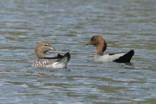
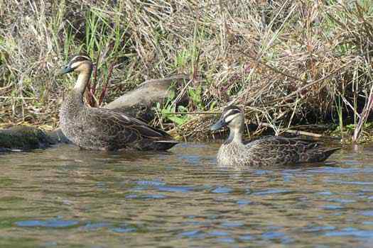
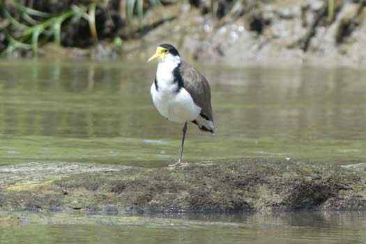
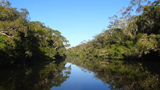
The upper section is mostly flat water paddling on tannin stained fresh water that provides an excellent mirror like quality on calm days. The water is exceptionally pure other than the tannins and because of this it doesn't support much life and fewer water birds will be noticed. Water can be brackish up past Lake Cootharaba and mangroves can be seen lining the shores.
The lower and mostly tidal section ranges from 100 m to 300 m wide and passes through Lake Cooroibah on its way to a larger estuary near the mouth. This section is linked directly to Lake Doonella and is indirectly connected to Lake Weyba via Weyba Creek.
Logistics
For the lower section, you can easily put in anywhere around the estuary that is away from the river mouth. The trickiest part will be finding a park especially around Noosa and Noosaville. For Noosa Woods Bay, Noosa Spit, it will be a short portage upwards from 50 m depending on your carpark.
For those doing the upper section, Elanda Point is the normal put in spot. This requires approx. 4.5 km traverse across Lake Cootharaba to Kinaba that can get rough in the afternoon, so be prepared for the possibility of small wind waves.
- 0 km
- Noosa Woods Bay
- 3.8 km
- Noosaville Boat Ramp
- 5.7 km
- Doonella Lake Entrance
- 6.0 km
- Tewantin Boat Ramp
- 8.6 km
- Moorindil Street Boat Ramp
- 24.5 km
- Boreen Point Boat Ramp
- 27.7 km
- Elanda Point QPWS Kayak Ramp
- 39.4 km
- Harrys Hut (4WD)
Paddling Options
The entire lower section from the mouth to Teewah Creek is usually paddlable. Within this section there are two commonly paddled sections. The lower tidal built-up section around Noosa to Tewantin; and the upper flatwater section through the Cooloola Recreation Area. The latter has the option of day trips, or longer paddles up to bush camp in one of the remote campsites beside the river.
Lower Section
- Length
- 6 km
- Type
- One Way
- Time
- Half day
- Technical difficulty
- Grade I
- Elevation Change
- 2 m
- Rating
Upper Section
- Length
- 54.8 km
- Type
- Return
- Time
- 2 days
- Technical difficulty
- Grade I
- Elevation Change
- 9 m
- Rating
What to take
Ensure electronic devices and gear have waterproof containers / dry bags if needed.
What to wear
- Sunscreen / Chapstick *
- Sunglasses *
- Hat *
- Swimwear or shorts †
- Sun protective clothing (rashie) †
- Water shoes †
What to take
- Water
- Snacks
- Phone
- Camera
- Watch
- Sponge
- Rain jacket
- Spare clothes / Towel
Safety
- PDF (life jacket) *
- Whistle
- Paddle float ‡
- Bilge pump ‡
- Paddle lease
- Spare paddle
- Light (night paddling)
* Highly recommended (aka required)
† You should wear clothing and footwear that you can comfortably swim in.
‡ These are for self or assisted rescues where you can't easily reach the shore.
Some additional information to ensure an enjoyable and successful trip.
Wildlife
The Noosa River starts as a tidal estuary with a number of tidal lakes, before heading north through a number of large lakes before heading into Great Sandy National Park.
The continual inflow of freshwater at the source means that a relatively consistent gradient of salinity exists in the river. While the gradient moves upstream or downstream depending on the intensity of rainfall and run-off, its continued presence during both the wet and dry seasons provides a range of salinity-related habitats not normally found in Queensland’s coastal river systems.
Quick Stats
- Length
- 80 km
- Navigable
- 55 km
- Catchment
- 750 sq km
- Elevation Loss
Current Flow
- Teewah Creek
- 0.70m / 56 MLD
- Tewantin (tidal)
- No Data
- Dangers
- Wind waves, other boats
- Council Areas
- First Nations
- Kabi Kabi
- Directions To
- Noosa Spit
Noosaville
Tewantin
Elanda Point


