Maps
Map options and distance markers
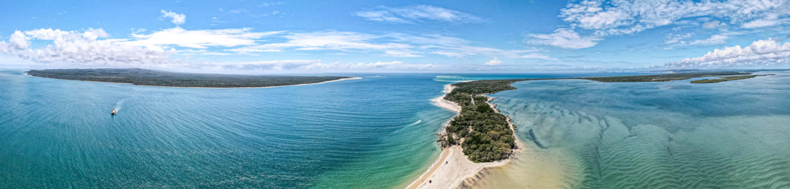
Starting point is Urangan Boat Ramp in Hervey Bay, traversing south to the Mary River mouth (River Head), across to Wanggoolba Creek, K'gari (Venture Ferry), before following the slightly longer western route, (5 km), past the towns on the western inland side down to Inskip Point (southern tidal entrance) before heading down the south west inlet to Tin Can Bay and Poverty Point (near Cooloola).
Tap or hover your mouse over a table cell to show the estimated number of days it will likely take between two locations.
| Distances (KM) | Hervey Bay | River Head | Wanggoolba Creek | Maaroom | Boonooroo | Poona | Tinnanbar | Inskip Point | Tin Can Bay | Poverty Point | Distances (KM) |
|---|---|---|---|---|---|---|---|---|---|---|---|
| Hervey Bay | 0 | 17 | 24 | 49 | 56 | 62 | 68 | 80 | 93 | 101 | Hervey Bay |
| River Head | 17 | 0 | 7 | 32 | 39 | 45 | 52 | 63 | 76 | 85 | River Head |
| Wanggoolba Creek | 24 | 7 | 0 | 25 | 32 | 38 | 44 | 56 | 69 | 77 | Wanggoolba Creek |
| Maaroom | 49 | 32 | 25 | 0 | 7 | 13 | 20 | 31 | 44 | 53 | Maaroom |
| Boonooroo | 56 | 39 | 32 | 7 | 0 | 6 | 12 | 24 | 37 | 45 | Boonooroo |
| Poona | 62 | 45 | 38 | 13 | 6 | 0 | 6 | 18 | 31 | 39 | Poona |
| Tinnanbar | 68 | 52 | 44 | 20 | 12 | 6 | 0 | 11 | 24 | 33 | Tinnanbar |
| Inskip Point | 80 | 63 | 56 | 31 | 24 | 18 | 11 | 0 | 13 | 22 | Inskip Point |
| Tin Can Bay | 93 | 76 | 69 | 44 | 37 | 31 | 24 | 13 | 0 | 9 | Tin Can Bay |
| Poverty Point | 101 | 85 | 77 | 53 | 45 | 39 | 33 | 22 | 9 | 0 | Poverty Point |
| Distances (KM) | Hervey Bay | River Head | Wanggoolba Creek | Maaroom | Boonooroo | Poona | Tinnanbar | Inskip Point | Tin Can Bay | Poverty Point | Distances (KM) |
The distances were calculated by manually digitising the river path from various aerial images (ESRI, Bing, Google) in QGIS (WGS 84).

©2026 Alan Davison // Credit // Disclaimer