
Timing
Best time of year to tackle the journey
A look at the historical flows in key locations
When the well is dry, we know the worth of water.
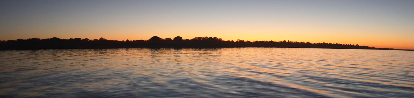
If you're planning a trip to this majestic river, it's important to consider its flow patterns. During my first visit to the Murray River in late 2019, the water levels above Tom Groggin were nearly at record low levels and I struggled with my trip. However, three concurrent la Niña years six months later transformed the landscape into a paddler's playground and caused large-scale flooding across the entire Murray-Darling basin. It's clear that Australia is a country of extremes!
Generally, the flow in the Murray River system is highest in spring, drops off over summer, and is lowest heading into winter. Higher flows mean more flow assist and quicker trips, but they can also flood many of the beaches if they are too high. Lower flows provide a more leisurely trip with more time to enjoy the experience.
For those interested in learning more about the river's flow patterns, the following charts display the general flow expected at various times of the year. If you're planning on doing the upper Murray that traverses from the source down to Bringenbrong, it's crucial to carefully consider the flow for a safe and enjoyable experience.
There have been no attempts to determine a safe maximum flow rate in the upper Murray, and there is limited information available on very low flows downstream along the river to provide a guide for a minimum flow. As one traverses into the regulated sections of the river below Mildura, the flow becomes less important because of the adjoining weir pools that go all the way down to Goolwa.
It's essential to note that high flows in the Murray River carry a lot more power and are only recommended for experienced paddlers.
Generally, flooding below Hume Dam can be an enjoyable experience for experienced paddlers, although finding campsites can be challenging at times. Flooding in all areas above Lake Hume should be treated with caution and it can be considered extremely dangerous above Bringenbrong Bridge.
In the alpine regions, the combination of winter and spring rains and the snow melt makes early spring flows the highest of any time in the year. These flows taper off over the following months, with the lowest flows occurring in March and April. This pattern can be seen in the chart for Biggara, the first gauge on the Murray that has no upstream water regulations. The inflow at Tooma follows the same pattern.
If you're planning to paddle in the Upper Murray to Tom Groggin, the recommended river heights are 0.5–1.2 m at Biggara. Keep in mind that the actual flow near the Poplars would be only a small fraction of what is recorded at Biggara (550 ML/day and 3,000 ML/day).
The recommended flows in the Murray Gorge are between 450 ML/day and 4,500 ML/day (0.45–1.45 m) at Biggara.
For paddlers starting the trip below Bringenbrong Bridge, the flow is less of an issue as it is regulated from the Snowy Mountains Scheme, which controls the flow down to and release from the pondage at Khancoban into Swampy Plain River. This has a buffering effect, as seen at Bringenbrong, which experiences less extreme variations, although it still shares the same pattern of high late winter to early spring flows and low late summer to autumn flows.
The recommended flows at Bringenbrong are between 1,000 ML/day and 12,000 ML/day, 1.0–2.5 m.
The Hume Dam has an essential role of managing the flow along the Murray River and also provides an important role in flood mitigation. Unlike the upstream, the release pattern from the dam is not dependent on inflow and rather the water needs of those living downstream. The highest releases occur from mid-spring to summer with decreased release during autumn, resulting in the lowest flows in winter. In winter, the median releases from the lake are lower than the flows at Bringenbrong Bridge.
The gauge at Doctors Point records the combined flows from the regulated Hume Dam releases and the less regulated Kiewa River inflow.
The release from Yarrawonga Weir mostly controls the flow here, with two significant outflows at Edward River and the National Channel, and four inflows from Victorian rivers, namely the Ovens, Goulburn, Campaspe, and Loddon Rivers. Typically, the Edward River has minimal flow since it was regulated in 1997, and the National Channel flow depends on irrigation needs.
This section includes the Barmah Choke (the Narrows), a crucial factor in how water flows through this area. The capacity of the choke determines the maximum flow before flooding occurs in the Barmah-Millewa forest. The capacity is slowly decreasing and estimated to be around 11,500 ML/day in the mid-1980s and down to about 9,300 ML/day in 2019.
The following flow chart is from Torrumbarry Weir, the first weir with a lock found on the Murray, about 80 km downstream of Echuca. Being downstream of the National Channel outtake, it should represent the least amount of flow seen along this section of the river.
During flooding, the Edward River has a crucial role in diverting water away from this section of the Murray. The flow on the Murray between Picnic Point and Boundary Bend is lower than the flow escaping into the Edward River once the river levels upstream start to exceed 50 to 60,000 ML/day. This usually leaves the system via the various regulated channels in the Millewa forest at moderate flows and mostly widespread flooding across the floodplains in higher flows. The highest recorded flows occurred in 1917, where the flow at Barham was 37,000 ML/day, and at Deniliquin on the Edward River, it reached 170,000 ML/day, over 4.5 times the flow.
As the Murray River flows downstream and becomes more regulated with weirs, the amount of visible flow decreases. Any flow is barely noticeable in the deep and wide weir pools. Wind rather than flow is the main factor on paddlers, either assisting or hindering your journey down the final section to the sea.
The lower Murray is fed by the northern rivers, including the Murrumbidgee and the Darling, which can result in rare very high flooding flows, sometimes exceeding 100,000 ML/day.
The primary storage facility in the Murray River system is the Hume Dam, which cycles from being high in winter to low in late summer. When the dam is full, paddlers can enjoy a shortcut by crossing the lake, saving over 30 km of paddling compared to the original main stem of the river.
Yarrawonga Weir is the other major regulatory storage on the river, but it is generally kept close to full. The exception to this rule is when the lake is drained in winter for a period of time to control aquatic weeds. This happens about once every five years or so and it is best to avoid the lake during this time.
The other weirs and lower lakes don't have a significant regulatory function. However, Lake Victoria and Menindee Lakes are two other important storages in the Murray-Darling basin, both helping to regulate flow into the Murray River.
")
")
The El Niño / La Niña Southern Oscillation (ENSO) has a significant influence on climate patterns in Australia. Typically, La Niña causes wetter weather on the east coast, while El Niño causes prolonged dry spells. These patterns have a significant impact on the Murray River flow.
El Niño has a more significant effect on the system, leading to noticeably lower median flows. In contrast, La Niña drives more variable weather with a moderate overall influence and higher flows. When there are multiple La Niña events, it increases the chances of flooding as the upper catchment storages fill, and the soils become sodden. All of the three ‘triple’ La Niña climate events since the 1950s have caused major flooding in the basin.
Using historical data from the Bureau of Meteorology, we can see how the various ENSO phases affect the median monthly flows at three key locations along the river. The chart below shows the results. You can click or tap the labels to show or hide the data. "Watch" status means that models predict a possible swing, while "alerts" predict a probable swing.
The gauge at Biggara should represent an unaltered flow pattern in the alpine region. Interestingly, it shows remarkably minimal effects from La Niña, but the impact of El Niño is significant, resulting in lower flows.
Euston measures the combined flows from the lower half of the Murray-Darling Basin. It receives water from the Lachlan and Murrumbidgee rivers in the north and the major Victorian rivers in the south. Like Biggara, the flow measured at the Euston gauge is also affected by the el Niño periods, with significantly reduced the median flows.
The Wentworth gauge measures the combined major flows from the entire Murray-Darling Basin. It follows a similar pattern as the other gauges, but the la Niña effects are slightly more pronounced.

©2026 Alan Davison // Credit // Disclaimer