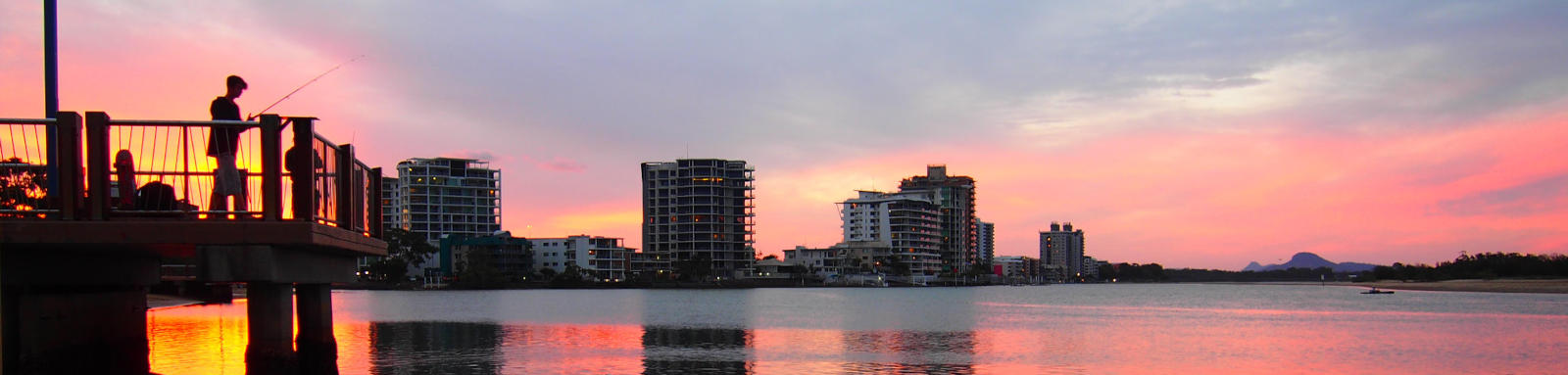
Twin Waters
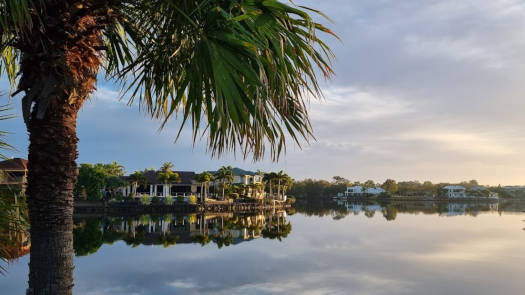
Paddling past some magnificent waterfront homes around the leafy suburbs of Twin Waters before ducking into the Maroochy River Conservation Park.
What to expect
Twin Water lakes are fairly urban, but there are plenty of parks along the shore, many with BBQ and drinking water. Bill Kear Waterway is a shallow creek through Maroochy River Conservation Park, the wooded areas being a contrast to the lakes themselves. Aim for high tide to maximise the depth of the creek and take insect repellent.
Paddling Options
The area provides a number of short trips and the main lake is great for beginners, though the creek is best suited to those with more experience looking for something different.
Twin Waters Lake
- Length
- 10.2 km
- Type
- Circumnavigation
- Time
- half day
- Technical difficulty
- Grade I
- Rating
- Elevation Loss
- N/A (tidal)
Bill Kear Waterway
- Length
- 3.0 km
- Type
- Return
- Time
- half day
- Technical difficulty
- Grade I shallow
- Rating
- Elevation Loss
- N/A (tidal)
Logistics
Many of the small parks are suitable to launch from the shoreline, though Little Voyager Park has a small parking area. Bill Kear Waterway starts from Ocean Drive where you should be able to safely park off the verge. All are operated by Sunshine Coast Council.
Refer to the Distance Table and the Interactive Map for additional details.
Tides
There is only a small tidal influence, but even the small change can make the shallow Bill Kear Waterway a lot more pleasant.
No current tide details for port: BQ019, low_offset=111, high_offset=61, title=Twin Waters Entrance, container-classes=tides-block mb-3, day-classes=col-12 col-sm-6 pb-3
#0: core/debug.inc, line 285, dpr()
#1: core/filters/tides.inc, line 235, print_filter_error()
#2: core/base.inc, line 299, filter_tides()
#3: core/base.inc, line 264, process_page_filters()
#4: docroot/index.php, line 41, process_request()
This could be from a parental filter such as meta
Distances
Some key locations on the main waterways are listed below.
| Location | Distance (km) § | ||
|---|---|---|---|
| Leg | Total | ||
| Mudjimba Beach Rd, Twin Waters | 0.0 | ||
| Little Voyager Park, Twin Waters | 2.4 | 2.4 | |
| Ocean Drive, Twin Waters | 1.2 | 3.6 | |
| Mudjimba | 1.6 | 5.2 | |
§ Distances have been manually calculated from the river mouth.
Quick Stats
- Lake / Reservoir
- Twin Waters Lake
- Shoreline
- 11.8 km
- Area
- 0.4 sq km
- Type
- Tidal
- Elevation Loss
- N/A (tidal)
- Council Areas
- First Nations
- Kabi Kabi
© Thomas and Olivia Williams
Map
Explore the key locations in the map below. Most locations will have a photograph that can be seen by clicking on the icon or number in the map itself.
The map also has markers every kilometer that start at 0 at David Low Way going anticlockwise around the canal and up the Bill Kear Waterway.
You may need to zoom in to see all of these kilometer markers. These do not correlate with any existing numbering system.
- Twin Water Canal
- Twin Water Lake
- Bill Kear Waterway
- Bridge
- Access Points
