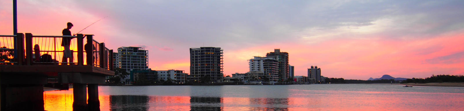
Petrie Creek
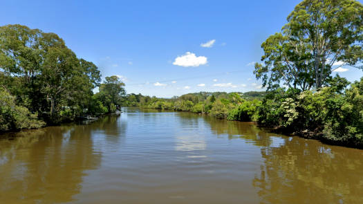
Petrie Creek rises in the Blackall Range near Flaxton, directly west of Woombye. It drops quickly and winds its way through to Nambour. From here is meanders along the flood plains joined by Paynters Creek just before it enters the Maroochy River.
The river is named after Tom Petrie who paddled the creek in a long boat back in 1862.
What to expect
Easy wide tidal river for most of the trip to the Bruce Highway. From here expect it to become narrow with rocky riffles and ponds until it becomes a steep rocky intermediate stream on the slopes of the range.
Paddling Options
The two trips quickly covered here include a return paddle up towards Nambour and a paddle around the bottom of Paynter Creek. The latter had a trip report with a put-in from the edge of the road beside the creek. If that looks too difficult, the nearest boat ramps are at Maroochydore and Bli Bli.
Tidal Section
- Length
- 23 km
- Type
- Return
- Time
- full day
- Technical difficulty
- Grade I
- Rating
- Elevation Loss
- N/A (tidal)
Paynter Creek
- Length
- 5 km
- Type
- Return
- Time
- half day
- Technical difficulty
- Grade I
- Rating
- Elevation Loss
- N/A (tidal)
Logistics
There is a gravel pull-over area along the bottom of Paynter Creek, otherwise it's the boat ramps on the Maroochy River at Maroochydore and Bli Bli.
Translink provide a couple of options for busing between Maroochydore and Nambour:
- Bus Route 612 runs between Maroochydore and Bli Bli before heading up to Nambour.
- Bus Route 610 runs directly between Maroochydore and Nambour.
All ramps and parks are operated by Sunshine Coast Council.
Refer to the Distance Table and the Interactive Map for additional details.
Tides
There is easist to go with the tidal flows, though these are not as strong as those found on the main Maroochy River.
No current tide details for port: BQ019, low_offset=136, high_offset=84, "format=days,datum", title=Petrie Creek Entrance, container-classes=tides-block mb-3, day-classes=col-12 col-sm-6 pb-3, key_locs_title=Tides for selected locations on the Petrie Creek for {day}, "key_locs=Paynter Creek:152:100, Bruce Hway:178:122"#0: core/debug.inc, line 285, dpr()
#1: core/filters/tides.inc, line 235, print_filter_error()
#2: core/base.inc, line 299, filter_tides()
#3: core/base.inc, line 264, process_page_filters()
#4: docroot/index.php, line 41, process_request()
This could be from a parental filter such as meta
Quick Stats
- Length
- 29 km
- Navigable
- 11.5 km
- Catchment
- 112 sq km
- Elevation Loss
- Council Areas
- First Nations
- Kabi Kabi
- Directions To
- Bradman Avenue
Bli Bli
© Thomas and Olivia Williams
Distances
Some key locations on the main waterways are listed below. Add another 100 m if starting from Muller Park Boat Ramp, Bli Bli.
* Side represents either the left / port (L) or right / starboard (R) sides when facing downstream of the main river or the specified direction of travel for bays or lakes (usually anticlockwise).
† Most of the features were taken from local council pages.
§ Distances have been manually calculated from the river mouth.
Map
Explore the key locations in the map below. Most locations will have a photograph that can be seen by clicking on the icon or number in the map itself.
The map also has markers every kilometer that start at 0 at where the creek meet the Maroochy River. You may need to zoom in to see all of these kilometer markers. These do not correlate with any existing numbering system on the river.
- Eudlo Creek
- Petrie Creek
- Paynter Creek
- Bruce Hway
- Boat Ramps
- Access Point
© Thomas and Olivia Williams
