Sunset at Hervey Bay Jetty

Key Waypoints

Key Waypoints

  • 0 km

    Source

    Elevation 410.5 m
    Coordinates 26° 48' 8.1" S, 152° 47' 9.1" E

    Starting in paddocks on the western side of the Conondale Range in Booroobin, the Mary River only really starts to form a small stream as it makes it way through the forested areas down towards Conondale.

    The source is 8.5 km SW of Maleny.

  • 19 km

    Conondale

    Distance between locations 18.7 km Elevation 124.5 m
    Coordinates 26° 43' 42.6" S, 152° 42' 49.3" E
    Population 860

    stream view from bridge Google Street View

    This is likely the first possible put in location, but for more experienced paddlers looking for a challenge.

  • 42 km

    Keniworth

    Distance between locations 23.5 km Elevation 84.7 m
    Coordinates 26° 35' 52.4" S, 152° 43' 49.1" E
    Population 560

    stream view from bridge Google Street View

    Small town with a coffee shop and cheese factory.

  • 82 km

    Imbil

    Distance between locations 39.5 km Elevation 59 m
    Coordinates 26° 25' 11.3" S, 152° 44' 53.5" E

    Measured to the confluence of Yabba Creek, the town of Imbil is 10 km to the west. If travelling past by car, the weir pool at Imbil provides pleasant paddling as does the nearby weir pool at Kandanga.

  • 103 km

    Traveston Crossing

    Distance between locations 21.4 km Elevation 49.5 m
    Coordinates 26° 20' 0.6" S, 152° 42' 13.3" E

    River view from bridge Google Street View

    A couple of clicks past the brand new Mary Valley Link Rd bridge is the old Traveston Crossing. This is a common put in point.

  • 130 km

    Gympie

    Distance between locations 27.3 km Elevation 38 m
    Coordinates 26° 11' 39.1" S, 152° 39' 26.3" E
    Population 21

    River view from bridge Google Street View

    There is a path down to the weir that can be used as a put in place, (near Kidd Bridge on River Terrace), and there is another put in spot 2 km upstream at Attie Sullivan Parkk (adjacent to the Normanby Bridge on Mary Valley Road).

    Opposite Gympie is the Sands that is part of the Gympie Regional Council's River to Rail Trail. This also allows access to the river.

  • 201 km

    Munna Creek

    Distance between locations 70.3 km Elevation 10 m
    Coordinates 25° 53' 10.0" S, 152° 28' 44.4" E

    River view from bridge Google Street View

    Munna Creek is one of the larger tibuaries that drain into the Mary.

  • 231 km

    Tiaro

    Distance between locations 30.8 km Elevation 5 m
    Coordinates 25° 32' 48.8" S, 152° 41' 26.5" E
    Population 760

    River view from bridge Google Street View

    Small country town on the Bruce Highway.

    This marks about how far salties have been recorded upstream on the Mary, with one croc shoot in the 1960s and another confirmed sightning in 2015.

  • 252 km

    Mary River Barrage

    satellite imagery
    Distance between locations 21 km Elevation 2.9 m
    Coordinates 25° 35' 16.5" S, 152° 37' 25.4" E

    Second and last weir on the Mary. Storage capacity of 12 GL. Surrounded by private property with no public access.

    Tidal estuary below the weir. Remember to be especially croc safe below the barrage!

  • 267 km

    Maryborough

    Distance between locations 15 km
    Coordinates 25° 32' 40.2" S, 152° 41' 14.6" E
    Population 27,300

    River view from bridge Google Street View

    The city of Maryborough is the largest town on the way down. From here the river heads east to the coast to Hervey Bay.

  • 310.5 km

    River Heads

    Distance between locations 43.5 km
    Coordinates 25° 25' 49.4" S, 152° 55' 25.7" E
    Population 54

    stream view from bridge Google Street View

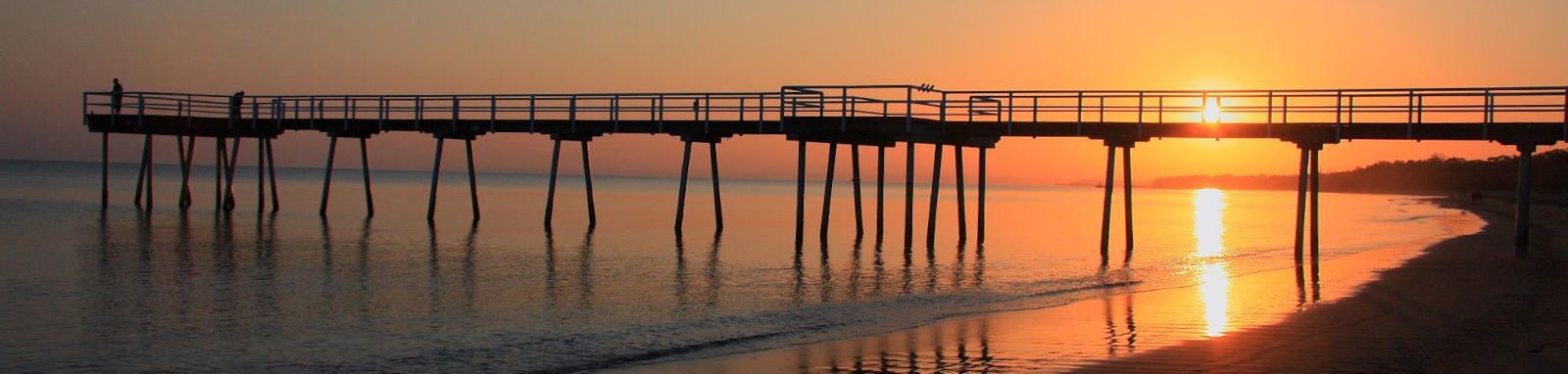
    Southern end of Hervey Bay and one of the gateways to Fraser Island.