City Lakes
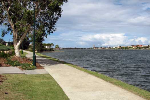
The Gold Coast has the largest constructed canal network in the southern hemisphere with over 135 constructed lakes and more than 400 kilometres of canals. A significant number of these are located between Tallebudgera Creek and the Nerang River. These are covered here.
Note that keys, canals and lakes are common along all of the major Gold Coast waterways.
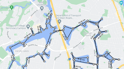
Varsity Lakes and Burleigh Waters

The main access spot appears to be Lake Orr Boat Ramp, Varsity Lakes.
Assuming you paddled a direct lined around most lakes and canals, you will be looking at least 25 km of flatwater paddling.
Clear Island and Robina Waters

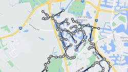
Clear Island Waters is one of the largest lake systems on the coast. These lakes are bounded by Markeri Street to the south, Bermuda Street (Southport Burleigh Rd) to the east, Nerang Broadbeach Road to the north and Robina Parkway to the west. In just this precinct alone there are 25 kilometres of shoreline.
There are 3 main lakes in Robina Waters – South Lake, West Lake and Clear Island Waters. The lake system is bounded by Markeri Street to the north, Bermuda Street to the east, Cottesloe Drive to the south and Robina Parkway to the west. In just this precinct alone there are 20 kilometres of shoreline and a water depth ranging from 3 metres to 10 metres.
The main access point appears to be the Car Park on Boowaggan Rd, just off Robina Parkway.
Assuming you paddled a direct line around most lakes and creeks, you will be looking at least 50 km of flatwater paddling.
Boardbeach and Mermaid Waters

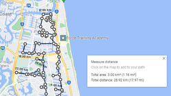
There are two main access points, the Convention Centre Boat Ramp, TE Peters Drive, Broadbeach Waters that can be busy and an old boat ramp beside the Australian Institute of Sport Canoeing Centre at Pizzey Park Lake, Miami
Assuming you paddled a direct lined around most lakes, canals and creeks, without going into every side canal, you will be looking at around 30 km of flatwater paddling looping around the area.
Map
Map of key features within Varsity Lakes and Burleigh Waters.
- Lake Rosser
- Lake Cappabella
- Little Tallebudgera Creek
- Saxonvale Channel
- Lake Intrepid
- Clear Island Lake North
- Mermaid Canal
- Clear Island Lake West
- Bollard Basin
- Clear Island Lake East
- Lake Rumrunner
- Lake Hugh Muntz
- Robina Waters Channel
- Lake Wonderland
- Dunlop Canal
- West Lake
- Robina South Lake
- Pizzey Park Lake
- Pizzey Park
- Mudgeeraba Creek
- Lake Lido
- Miami Lake
- Pelican Lake
- Lake Heron
- Lake Orr
- Bond University Lake, Varsity Lakes
- Burleigh Lake
- Silvabank Lake
- Swan Lake
- West Burleigh Lake
- Reedy Creek
- Boat Ramps
- Access Points
- Weir or Low Head Dams
Beacon to Beacon Guide Charts
by Maritime Safety Queensland
This free booklet from Maritime Safety Queensland contains nautical maps from southern Gold Coast to Southport including the Nerang River.
Gold Coast Maps Charts
- First Nations
- Bundjalung
- Council Areas
- Gold Coast City Council
© Simon Morris


