Coombabah Creek
Coombabah Lakes Conservation Area covers more than 1200 hectares of wetland, eucalypt forest, salt marsh and mangrove habitat. The estuarine system is home to 274 species of animals, including the koala, powerful owl and grey-headed flying-fox.
Note that Coombabah Lake and other waterways of the Conservation Area are off-limits for fishing.
What to expect
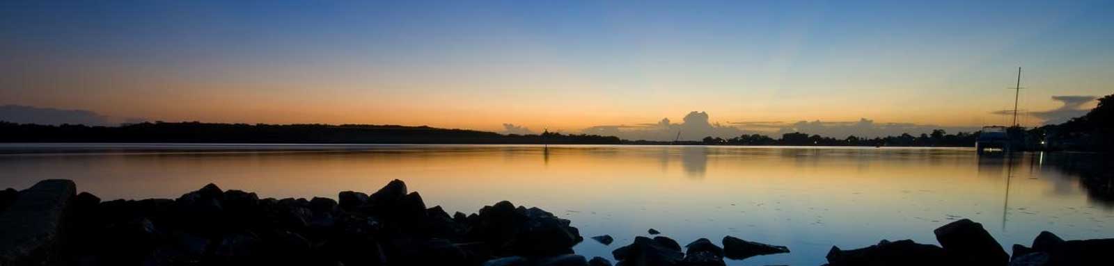
A wide tidal river with some mangroves with most of the built up areas hidden from view that opens up into a small lake reserve. Above the lake, the tidal section likely goes up to the Pacific Motorway before becoming unnavigable.
Coombabah Lake which is a very shallow body of water with an average depth under 1 m and is ringed by mangrove swamp. This lake is best done on a high tide and is almost unnavigable with a low tide.


Logistics
There are a few put in spots along the river operated by Gold Coast City Council.
The likely best spot is at the boat ramp at Jabiru Island Park to put in, but there are some other locations that you can use too. Refer to the Distance Table and the Interactive Map for additional details. Parking is not an issue in general.
Tides
There is likely minimal tidal influence for most trips, however a high tide will ensure easier navigation in the shallower sections.
No current tide details for port: BQ011, low_offset=108, high_offset=80, "format=datum,days", title=Coombabah Creek Mouth, day-classes=col-12 col-sm-6 pb-3, container-classes=tides-block mb-3
#0: core/debug.inc, line 285, dpr()
#1: core/filters/tides.inc, line 235, print_filter_error()
#2: core/base.inc, line 299, filter_tides()
#3: core/base.inc, line 264, process_page_filters()
#4: docroot/index.php, line 41, process_request()
This could be from a parental filter such as meta
Distances
Some key locations up until Gold Coast Highway bridge are listed below.
* Side represents either the left / port (L) or right / starboard (R) sides when facing downstream of the main river or the specified direction of travel for bays or lakes (usually anticlockwise).
† Most of the features were taken from local council pages.
§ Distances have been manually calculated from the river mouth.
Map
Explore the key locations in the map below. Most locations will have a photograph that can be seen by clicking on the icon or number in the map itself.
The map also has markers every kilometer that start at 0 at where the creek meets the Coomera River all the way to the source.
You may need to zoom in to see all of these kilometer markers. These do not correlate with any existing numbering system on the river.
- Coombabah Lake
- Boat Ramps
- Bridges
- Pontoon
- Weir or Low Head Dam

Trip Details
Gold Coast Highway
- Length
- 20 km
- Time
- full day
- Trip
- Return
- Technical difficulty
- Grade I
- Rating
- Type
- Tidal
- Elevation Loss
- N/A (tidal)
Quick Stats
- Length
- 22.7 km
- Navigable
- 9 km
- Catchment
- 56 sq km
- Elevation Loss
- Council Areas
- First Nations
- Bundjalung
- Directions To
- Jabiru Island
The Esplanade
