Macquarie River
Personal blog and guide to paddling the Macquarie River
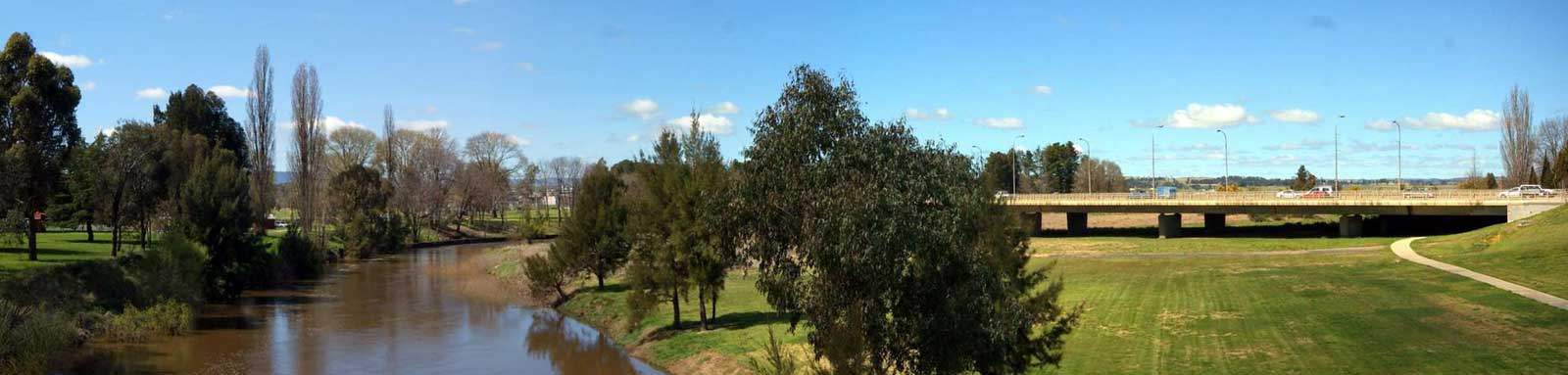
The Macquarie River has a variable characteristics and provides multiple different types of paddle opportunities for all skill levels.
Upper Macquarie: Confluence to Freemantle Bridge
Small tree lined stream with narrow pools and occassional small rapids winding through farmland.
Willows and blackberries can be problematic, especially above Bathurst. Single weir before Bathurst water intake with a couple partially dismantled old stone weirs through town.


The Gorge: Freemantle to Lake Burrendong
A steeper and sometimes bouldery waterway depending on the water levels, fairly isolated apart from a short section that runs beside the Bridle Track.
Freemantle to Hill End has the hardest runs with mostly Grade II - III rapids with a couple of harder sections with one notable Grade IV section with a couple 2 m drops (the forge).
Below this the paddling eases slightly and waterholes besome more common. Take care with the stopper on the bottom of the final Grade II rapid at the end of Gardiners Hole which is about 7 km downstream of Long Point crossing.


Lake Burrendong
The lake has a long reach up the system when the dam is realitively full. This provides for rather scenic flatwater paddling. First main exit point is Mookerawa where there is a large caravan park, before more open lake paddling across to the dam.
Potentially choppy conditions on the main lake and this can get busy with powerboats in good weather around weekends and public holidays.


Lower Macquarie: Burrendong Dam to Barwon
A wider river with high banks lined with river gums. The hills seen around Burrendong are generally gone by the time you reach Dubbo with the exception of Mt Harris and Foster below Warren.
The river losses water as it heads downstream due to both natural offtakes and irragation purposes. The net result of this is that the river becomes snaggier with lower banks downstream.
As it flattens out even more there are a couple of swampy sections that are choked with reeds interrupting the lower section of the river. there is a high degree of channelling, especially around these swampy areas. At this point it appears that the river may become unnavigable. These two significant swampy sections collectively known as the Marshes.
Below the marshes, the river reforms and banks increase in height again. By the time you reach the Barwon, high banks with river gums are the norm.
Unlike the upper Macquarie, the lower Macquarie is not confined and floods will spread out onto the floodplains. During floods, water will leave the river and flow into both the Bogan River and Marthaguy Creek.


Macquarie Marshes:

Multiple wetlands that are abundant with wildlife can be found here in wet years. The two most significant of these are the Southern and Northern Macquarie Marshes.
There have been no reports of anyone making a successful trip through the swamp, See the Macquarie Marshes section for details.

©2026 Alan Davison // Credit // Disclaimer