Switch between measurement systems used on the site.
Flow:
ML/day
Volume:
Litres
Other:
Metric (km, kg, °C)
Note that you can also toggle these when you see these in the content too.
Flow calculator
From to
Misc other flow calculations can be calculated online at Kyles Converter.
Shortcuts
Details of all the shortcuts. If you would like to help contribute, please contact me!
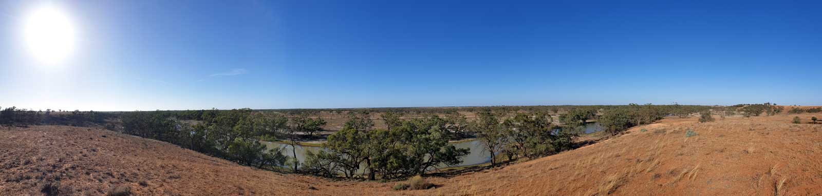
The following sections were noteworthy or a bit confusing at times:
Tandou Creek KM marker 485: Main creek runs parallel with a billabong for a while just before the good shortcut.
Tandou Creek KM marker 470: The start above Packers Crossing (top right) is lake-like and can be confusing without a GPS device or good map.
Confluence of the Anabranch and Redbank Creek KM marker 412: The orange channels were all snaggy.
Anabranch KM marker 354: The mainstream feeds into Lake Mindona (1) and only had a small flow on my trip and was bypassed. Two very snaggy sections were seen here. The large billabong (2) was blocked towards the top, effectively reversing the flow seen in some old maps.
Anabranch KM marker 278: There is a block bank with an open control gate. This can cause the main channel to become shallow.
Anabranch KM marker 68: The shortest path has a high block bank and control gates.

 is lake-like and can be confusing without a GPS device or good map.")

 and only had a small flow on my trip and was bypassed. Two very snaggy sections were seen here. The large billabong (2) was blocked towards the top, effectively reversing the flow seen in some old maps.")


