Head: MungindiElevation168 m Mouth: Culgoa RiverElevation116 m Length729 kmDrop52 mSlope0.07‰
The Barwon starts at the confluences of the Weir River into the Macintyre River.
Likewise, the Darling forms at the Culgoa River confluence with the Barwon.
Head: Mt RumbeeElevation1,346 m Mouth: MungindiElevation168 m Length~319 kmDrop1,178 mSlope3.69‰
The confluence with the Weir River forms the Barwon River.
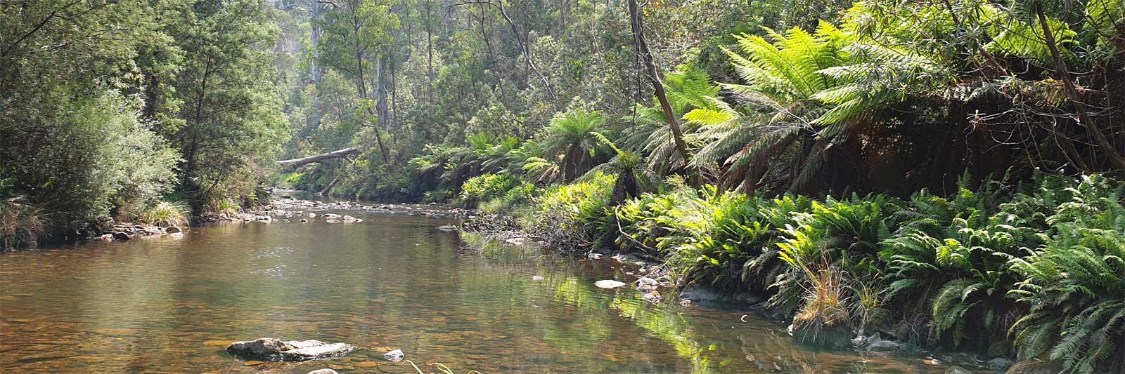
Gwydir River, NSW
Head: UrallaElevation785 m Mouth: CollarenebriElevation142 m Length~488 kmDrop643 mSlope1.32‰
The Gwydir River has an undefined path through the wetlands and floodplains
west of Moree and it rarely reaches the Barwon outside of flood events. Some of
its waters reach the Barwon via the Mehi River.
Namoi River, NSW
Head: NiangalaElevation701 m Mouth: WalgettElevation131 m Length~708 kmDrop570 mSlope0.81‰
The Namoi River flows from western slopes of the Moonbi Range at the convergence
of the Macdonald River and Boundary Creek and is joined by twenty-seven named
tributaries on its way to the Barwon.
Castlereagh River, NSW
Head: WarrumbunglesElevation885 m Mouth: Downstream WalgettElevation128 m Length575.6 kmDrop757 mSlope1.32‰
The Castlereagh, Macquarie and Bogan rivers run "more or less parallel"
across the rich soils of the alluvial plains.
Head: BathurstElevation667 m Mouth: Downstream WalgettElevation120 m Length~850 kmDrop547 mSlope0.64‰
Macquarie River is the ninth or tenth longest river in the country at about 882 km.
High flows often get absorbed by the Macquarie Marshes just before the river meets
the Barwon.
Catchments
The Balonne catchment that is part of the northern Murray-Darling Basin. This is the main catchment for the upper rivers. Multiple
catchments feed the Barwon River which is the main driver of the Darling River.
For up to date information on the catchments see the Murray-Darling Basin Authority website for
catchments and
water storage levels.
Catchment
Effects
Water Storage
Contribution to MDB
Condamine–Balonne
Condamine, Balonne, Culgoa
Beardmore Dam (94 GL), Leslie Dam (106 GL), Cooby Dam (21 GL)
8.5%
Moonie & Border Rivers
Barwon
Pindari Lake (312 GL), Glenlyon Lake (261 GL), Lake Coolmunda (69 GL)
5.8%
Namoi & Gwydir
Barwon
Keepit Dam (426 GL), Split Rock Dam (397 GL), Chaffey Dam (101 GL), Copeton Dam (1,364 GL)
6.6%
Macquarie–Castlereagh
Barwon
Burrendong (1,190 GL), Windamere (353 GL), Oberon (45 GL), Ben Chifley (31 GL), Suma Park (18 GL)
8.4%
Warrego & Paroo
Darling
Cunnamulla Weir (4.8 GL)
< 1%
Barwon–Darling
Darling
Lakes Menindee, Cawndilla, Pamamaroo and Wetherell (1,730 GL)