Bogan River
Key Waypoints
-
0 km
Source
-
51 km
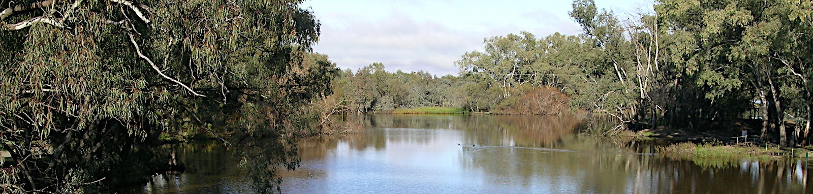
Bogan Weir, Peak Hill
Weir is about 5 km to town.

-
181 km
Dandaloo

-
332 km
-
601 km
Gongolgon
-
718 km
Barwon River

Joins the Barwon just above the Culgoa confluence that marks the start of the Darling River, about halfway between Brewarrina and Bourke.

The Little Bogan River diverges off the Bogan River 4.2 km from the Barwon River. This is a lovely alternative to the Darling if it is flowing. There are two low bridges to contend with. Water may flow up from the Barwon into the Little Bogan in times of high flows.
-
809 km


Distance Table
Tap or hover your mouse over a table cell to show the estimated number of days it will likely take between two locations.
| Distances (KM) | Source | Peak Hill | Dandaloo | Nyngan | Monkey Br | Gongolgon | Barwon | Bourke | Distances (KM) |
|---|---|---|---|---|---|---|---|---|---|
| Source | 0 | 51 | 181 | 332 | 463 | 601 | 718 | 809 | Source |
| Peak Hill | 51 | 0 | 131 | 281 | 413 | 551 | 668 | 758 | Peak Hill |
| Dandaloo | 181 | 131 | 0 | 151 | 282 | 420 | 537 | 627 | Dandaloo |
| Nyngan | 332 | 281 | 151 | 0 | 131 | 269 | 386 | 477 | Nyngan |
| Monkey Br | 463 | 413 | 282 | 131 | 0 | 138 | 255 | 345 | Monkey Br |
| Gongolgon | 601 | 551 | 420 | 269 | 138 | 0 | 117 | 207 | Gongolgon |
| Barwon | 718 | 668 | 537 | 386 | 255 | 117 | 0 | 90 | Barwon |
| Bourke | 809 | 758 | 627 | 477 | 345 | 207 | 90 | 0 | Bourke |
| Distances (KM) | Source | Peak Hill | Dandaloo | Nyngan | Monkey Br | Gongolgon | Barwon | Bourke | Distances (KM) |
The distances were calculated by manually digitising the river path from various aerial images (ESRI, Bing, Google) in QGIS (WGS 84).
River Map
Key towns and locations along the river are shown below.
- Peak Hill
- Nyngan
- Gongolgon
- Bourke
- Little Bogan River
- Barwon River
- Darling River
- Macquarie River
Flow
There wasn't that much data on the river, but there would enough to do some basic analysis of the recent flow events.
The current flows can found here.
Climate
The river runs to the west of and parrallel to the Macquarie and has many of the same influences. It is generally fairly arid with hot summers.
The river runs to the west of and parallel to the Macquarie and shares many of the same climatic influences. The region is characterized by a generally semi-arid climate with hot summers and cool winters. The area has only sporadic rainfall with no definitive wet season.
For the most accurate weather information that reflects recent weather patterns, I have used a 30-year period between 1991 and 2020 for my statistics whenever possible. In some cases, a smaller subset or even longer-term statistics may also be used. To provide normalized figures that exclude extreme values, I have used deciles ranging from 1 to 9, which excludes the lowest and highest 10% of observations.
A quick look at Peak Hill and Nyngan.
Peak Hill
Nyngan
Public Transport Options
Public transport stops along the Bogan River.
- 51 km
- Peak Hill
- 332 km
- Nyngan (281 km leg)
- 809 km
- Bourke, Darling River (477 km leg)
Taking the Little Bogan rather than the Darling is a 444 km leg (33 km shorter).
Refer to the Macquarie River transport options page for details about the various bus and train routes along the river.
