Stumers Creek
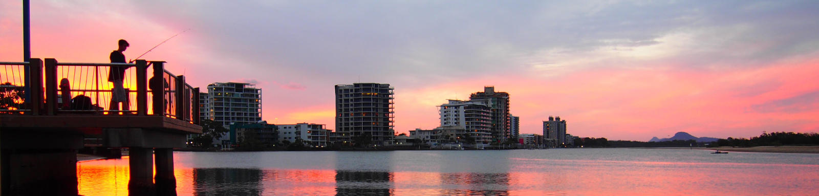
Stumers Creek is small estuary just north of Coolum Beach and is a popular spot for the locals to walk their dogs offleash and to swim in the creek during summer. The beach at the mouth is a landing site for Skydive Australia.
What to expect
The sandy beach makes for an easy put-in spot. Spring tides may push up into the estuary, but it is usually not tidal.
The creek itself has a short northern arm with the coastal woodlands and this narrows before effectively terminating at David Low Way.
The main southern arm traverses the outskirts of the town. This becomes shallow after a couple of kilometers and is heavily modified and weedy drainage system once past Yandina-Coolum Road.
Logistics
The main access point is Stumers Creek Park that can be busy in summer. It is operated by Sunshine Coast Council.
Distances
Some key locations on the main waterways are listed below.
* Side represents either the left / port (L) or right / starboard (R) sides when facing downstream of the main river or the specified direction of travel for bays or lakes (usually anticlockwise).
† Most of the features were taken from local council pages.
§ Distances have been manually calculated from the river mouth.
Map
Explore the key locations in the map below. Most locations will have a photograph that can be seen by clicking on the icon or number in the map itself.
The map also has markers every 100 metres that start at 0 from the creeks mouth.
You may need to zoom in to see all of these kilometer markers. These do not correlate with any existing numbering system on the creek.
- Stumers Creek Park, River Mouth
- David Low Way
- David Low Way
- Cinnamon Park
- Cycle Path

Trip Details
Cinnamon Park
- Length
- 4.8 km
- Type
- Flatwater
- Time
- half day
- Trip
- Return
- Technical difficulty
- Grade I
- Rating
Quick Stats
- Length
- 4.5 km
- Navigable
- 3.4 km
- Type
- Estuary
- Council Areas
- First Nations
- Kabi Kabi
© Thomas and Olivia Williams
