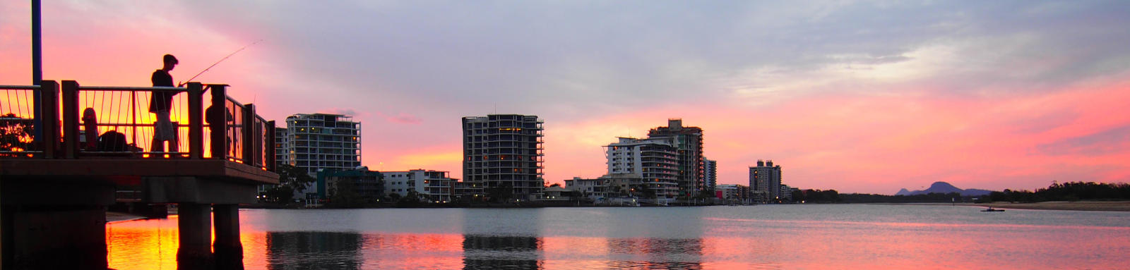
Maroochydore
Creeks and lakes around the city
There are a couple urban paddles in the city. The first is Cornmeal Creek that passes underneath the large Sunshine Plaza shopping mall and the canals of Maroochy Waters. The second is the Maroochy Waters canals.
What to expect
Cornmeal Creek ducks under an array of bridges and walkways as it passes the mall. Once past this, it becomes more sedate once you reach the Sunshine Cove lake.
The Maroochy Waters canals are fully built up making for a very urban paddle though the 'burbs. Put-in spots at either end, with a couple tiny parks scattered along the shore.
Paddling Options
A summary the two paddling options.
Logistics
The easist access to Cornmeal Creek is from Cotton Tree Park on the Maroochy river. The two spots on Sunshine Cove have limited parking.
For Maroochy Waters, there are access points located at either end. Picnic Point has the most parking but it is also most likely to be busiest.
All are operated by Sunshine Coast Council. Refer to the Distance Table and the Interactive Map for additional details.

Quick Stats
- Council Areas
- First Nations
- Kabi Kabi
- Directions To
- Cotton Tree (Cornmeal Ck)
Picnic Pt (Maroochy Waters)
© Thomas and Olivia Williams
Tides
There is a small to moderate tidal influence for most trips, especially for Cornmeal Creek where a high tide can make it more interesting ducking the bridges and walkways of Sunshine Plaza.
No current tide details for port: BQ019, low_offset=50, high_offset=27, title=Cornmeal Creek Entrance, container-classes=tides-block mb-3, day-classes=col-12 col-sm-6 pb-3
#0: core/debug.inc, line 285, dpr()
#1: core/filters/tides.inc, line 235, print_filter_error()
#2: core/base.inc, line 299, filter_tides()
#3: core/base.inc, line 264, process_page_filters()
#4: docroot/index.php, line 41, process_request()
This could be from a parental filter such as meta
Distances
Some key locations on the main waterways are listed below.
† Most of the features were taken from local council pages.
§ Distances have been manually calculated from the river mouth.
Map
Explore the key locations in the map below. Most locations will have a photograph that can be seen by clicking on the icon or number in the map itself.
The map also has markers every kilometer that start at 0 at where the waterways meet the Maroochy River.
You may need to zoom in to see all of these kilometer markers. These do not correlate with any existing numbering system on the river.
- Maroochy Waters
- Cornmeal Creek
- The Corso
- Sunshine Cove
- Boat Ramps
- Kayak Ramp or Path
- Pontoons
© Thomas and Olivia Williams
