Lake Macdonald
Six Mile Creek Dam
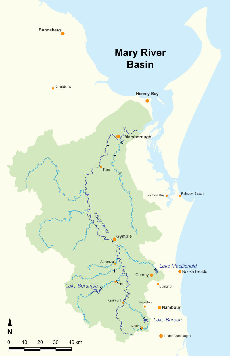
Lake Macdonald is within the Mary River catchment, but I've included it with the nearby Noosa lakes as part of the Sunshine Coast section.
What to expect
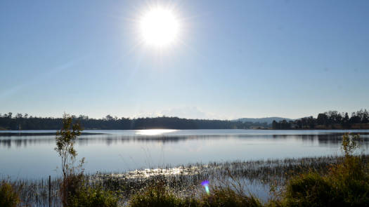
The lake is made up with multiple narrow arms and is only 0.4 km at its widest.
Features and facilities
The dam and recreation facilities are open to the public seven days a week at the time of writing, from 5:30am to 6:30pm (September – April) and 6:00am to 5:30pm (May – August).
Refer to the SEQWater Lake Macdonald guide for up to date information.
Going anticlockwise from the dam wall and roughly following the shoreline you have:
† Most of the features were taken from SEQWater published Location maps and guides.
‡ Distances are approximate only and are based on fairly direct paths from Mary River Cod Park.
Map
Explore the key locations in the map below. Most locations will have a photograph that can be seen by clicking on the icon or number in the map itself.
- Spillway
- Noosa Botanical Gardens
- South Arm
- Cooroy Noosa Rd Bridge
- East Arm
- Bird Hide
- Boat Ramps
- Kayak Ramp or Path
What to take
Ensure electronic devices and gear have waterproof containers / dry bags if needed.
What to wear
- PDF (life jacket) *
- Sunscreen / Chapstick *
- Sunglasses *
- Hat *
- Swimwear or shorts †
- Sun protective clothing (rashie) †
- Water shoes †
What to take
- Water
- Snacks
- Phone
- Camera
- Watch
* Highly recommended (aka required)
† You should wear clothing and footwear that you can comfortably swim in.
Wildlife
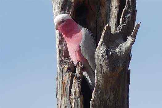
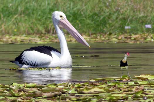
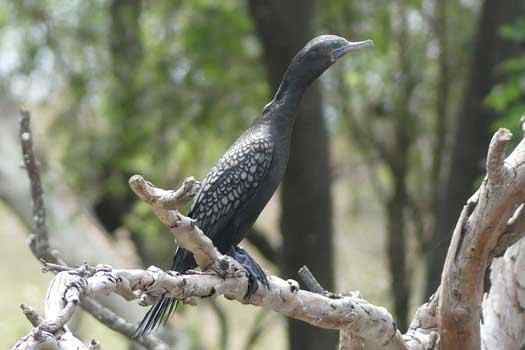
A large number of waterbirds have been seen on the lake including a number of ducks, geese, coots, pelicans, cormorants and darters. A number of parrots, pigeons, finches, honey eaters, kites and kingfishers can also be seen.
Quick Stats
- Lake / Reservoir
- Lake Macdonald
- Dam / Weir
- Six Mile Creek Dam
- Waterway
- Six Mile Creek
- Shoreline
- 22.7 km
- Capacity
- 8.0 GL
- Flood Mitigation
- N/A
- Catchment
- 49 sq km
- Area
- 2.2 sq km
- Elevation
- Current Storage
- 2.8 GLD (35%)
- Dangers
- Wind waves
- Council Areas
- First Nations
- Kabi Kabi
- Directions To
- Mary Cod Park
Jabiru Park

