Slacks Creek
The creek is a stream that meanders through the suburb that was named after the creek. It was named after William Slack, the holder of an early grazing licence in the area.
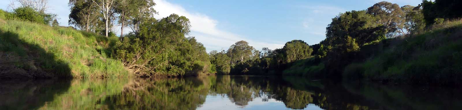
This makes for a pleasant paddle along a small tidal creek with plenty of shade from the trees. Aim to do it towards a high tide. Paddlable section stops around Loganlea Road, well short of Karawatha Forest Park.
The Aboriginal name for the creek was Mungaree, which means ‘place of fishes’ and you are likely to see many locals fishing along the banks today away from the adjacent golf course.
Logistics
The two closest put-in spots on the Logan River are the boat ramp at Tansey Park and the pootoon at Riverdale Park.
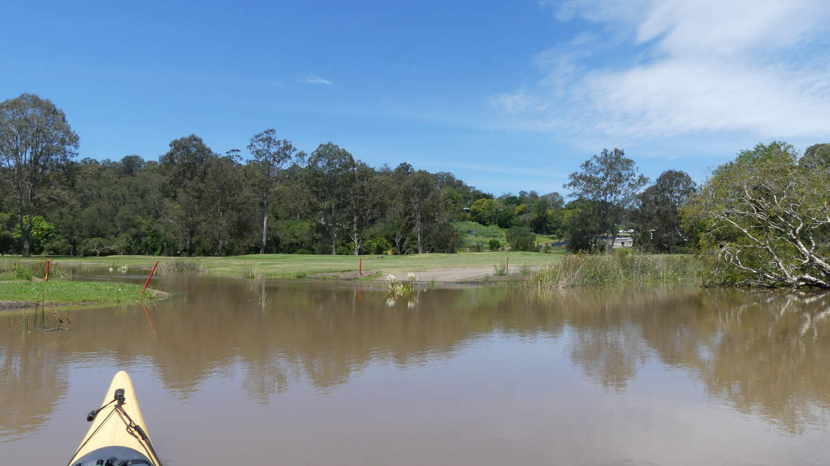
Loganlea Picnic Grounds provides access by a short walk down a low angle bank to the upper navigable sections. Remember to consider the tides as it may be difficult to impassible to reach Loganlea at low tide.
You would have to cross private property to access the creek via Leslie Park.
Map
Explore the key locations in the map below. Most locations will have a photograph that can be seen by clicking on the icon or number in the map itself.
- Boat Ramps
- Golf Course
- Kayak Ramp or Paths
- Access Point
- Railway Bridge
Tides
Tide times for Tansey Park Boat Ramp are 4 minutes eariler than for Slacks Creek.
No current tide details for port: BQ003, title=Logan River at Slacks Creek, low_offset=185, high_offset=133, container-classes=tides-block mb-3
#0: core/debug.inc, line 285, dpr()
#1: core/filters/tides.inc, line 235, print_filter_error()
#2: core/base.inc, line 299, filter_tides()
#3: core/base.inc, line 264, process_page_filters()
#4: docroot/index.php, line 41, process_request()
This could be from a parental filter such as meta
Trip Details
Tansey Park
- Length
- 17.7 km
- Type
- Return
- Time
- full day
- Technical difficulty
- Grade I (moderate)
- Rating
- Elevation Loss
- N/A (tidal)
- Dangers
- Trees, logs
Quick Stats
- Length
- 17 km
- Navigable
- 7.8 km
- Elevation Loss
- Council Areas
- Logan City Council (navigable section)
- First Nations
- YugambehYuggera (Jaggera)
