Lake Maroon
Maroon Dam
What to expect
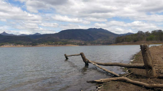
Maroon Dam located south of Boonah, nestled under Mount Barney. It plays an important role around local irrigation schemes down to the Logan River.
The lake is about 2.5 km long and 1 km wide.
Features and facilities
There is a single boat ramp that can be found in Slater Park near the dam wall. Privately run camping grounds may operate their own ramps.
The dam and recreation facilities are open to the public seven days a week at the time of writing, from 5:30am to 6:30pm (September – April) and 6:00am to 5:30pm (May – August).
Refer to the SEQWater Lake Maroon guide for up to date information.
| Location | Features † | Distance ‡ | |
| Boat Ramp | |||
| Dam Spillway | 0.8 km | ||
| Maroon Dam Day Use Area | 0.6 km | ||
| Slater Park Boat Ramp | |||
| Burnett Creek | 3.5 km | ||
| Pointro Campsite Boat Ramp | 1.5 km | ||
† Most of the features were taken from SEQWater published Location maps and guides.
‡ Distances are approximate only, the lengths will vary considerably with the water levels.
Map
Explore the key locations in the map below. Most locations will have a photograph that can be seen by clicking on the icon or number in the map itself.
- Spillway
- Burnett Creek
- Pointro Campsite Boat Ramp
- Boat Ramp
- Picnic Tables
What to take
Ensure electronic devices and gear have waterproof containers / dry bags if needed.
What to wear
- Sunscreen / Chapstick *
- Sunglasses *
- Hat *
- Swimwear or shorts †
- Sun protective clothing (rashie) †
- Water shoes †
What to take
- Water
- Snacks
- Phone
- Camera
- Watch
- Sponge
- Rain jacket
- Spare clothes / Towel
Safety
- PDF (life jacket) *
- Whistle
- Paddle float ‡
- Bilge pump ‡
- Paddle lease *
- Spare paddle
- Light (night paddling)
* Highly recommended (aka required)
† You should wear clothing and footwear that you can comfortably swim in.
‡ These are for self or assisted rescues as there are places that you can't easily swim back to the shore.
Wildlife
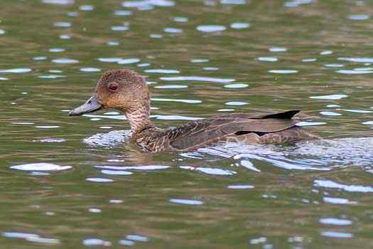
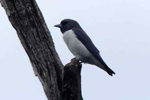
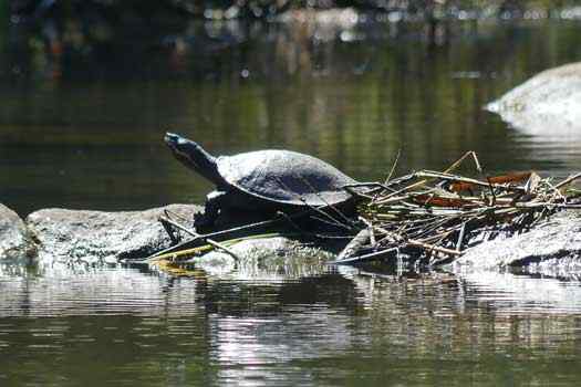
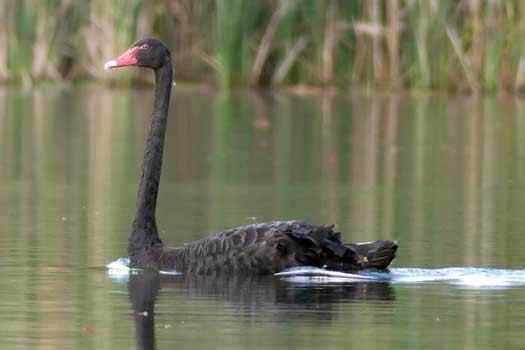
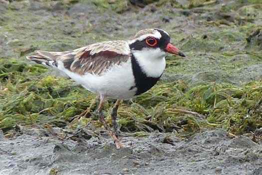
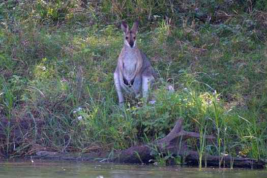
It is worth exploring up the Burnett Creek that can reveal a range of birds
Trip Details
Circumnavigation
- Length
- 13 km
- Type
- Flatwater
- Time
- half day
- Trip
- Circumnavigation
- Technical difficulty
- Grade I
- Rating
Quick Stats
- Lake / Reservoir
- Lake Maroon
- Dam / Weir
- Maroon Dam
- Waterway
- Burnett Creek
- Shoreline
- 13 km
- Capacity
- 44.3 GL
- Catchment
- 106 sq km
- Area
- 3.1 sq km
- Elevation
- Dangers
- Wind waves
- Council Areas
- First Nations
- Bundjalung
- More Info
- Seqwater
QLD DAF
Directions

