Lake Dyer
Bill Gunn Dam
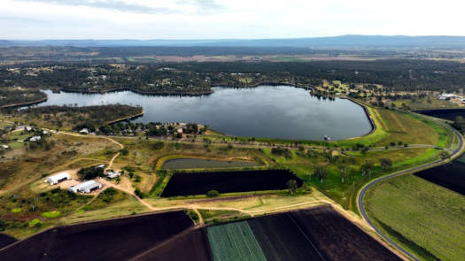
Lake Dyer is a small offstream storage lake that is part of the local irrigation network.
All forms of boating activities are allowed on the lake, so it can get fairly busy.
What to expect
The lake is about 1.0 km long and up to 0.6 km wide in places (when fill) making for a fairly short paddle. The lake is semi-built up with a number of houses in open woodland setting.
The dam wall is over 1.0 km long, with loose rocks that dampen any reflective waves.
The south west corner has boating restrictions and also has the best wildlife zone.
Features and facilities
The dam and recreation facilities are open to the public seven days a week at the time of writing, from 5:30am to 6:30pm (September – April) and 6:00am to 5:30pm (May – August). Toilets, shelters and BBQ facilities are available at the day use area beside the boat ramp.
There is a privately run campground beside the main recreation reserve (shared toilets).
The lake is managed by Seqwater and the day-use area is managed by the Lockyer Valley Regional Council.
Map
Explore the key locations in the map below. Most locations will have a photograph that can be seen by clicking on the icon or number in the map itself.
The map also has markers every 100 metres that start at 0 from the put in area.
You may need to zoom in to see all of these markers. These do not correlate with any existing numbering system on the lake.
- Spillway
- Lake Dyer Recreation Reserve
- Boat Ramp
What to take
Ensure electronic devices and gear have waterproof containers / dry bags if needed.
What to wear
- PDF (life jacket) *
- Sunscreen / Chapstick *
- Sunglasses *
- Hat *
- Swimwear or shorts †
- Sun protective clothing (rashie) †
- Water shoes †
What to take
- Water
- Snacks
- Phone
- Camera
- Watch
* Highly recommended (aka required)
† You should wear clothing and footwear that you can comfortably swim in.
Wildlife
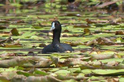
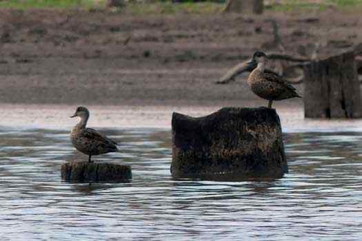
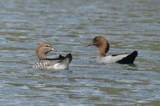
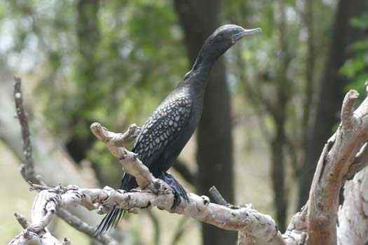
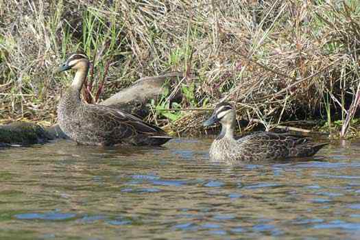
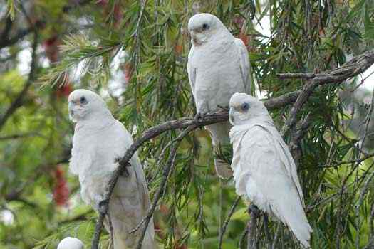
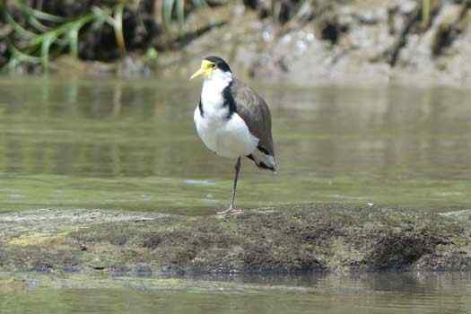
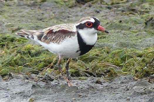
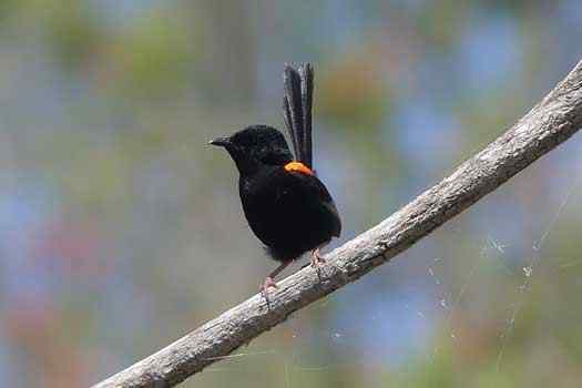
The lake has seen a large number of duck and wetland birds as well as other species that come in for water.
Quick Stats
- Lake / Reservoir
- Lake Dyer
- Dam / Weir
- Bill Gunn Dam
- Waterway
- Laidley Creek
- Perimeter
- 6.1 km
- Navigable
- 4.8 km
- Capacity
- 6.9 GL
- Catchment
- 3 sq km
- Area
- 1 sq km
- Council Areas
- First Nations
- YuggeraGiabal (Barunggam)
- More Info
- Seqwater
QLD DAF
Directions

