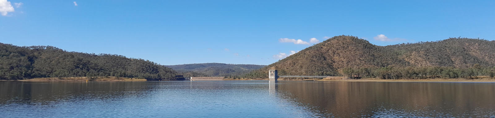
Lake Cressbrook
Lake Cressbrook is located 55 km north of Toowoomba and 40 km west of Esk. It is the largest of Toowoomba’s water supply dams, although water is piped in from Lake Wivenhoe once Lake Cressbrook falls below 40% capacity.
Most motorised and non-motorised vessels are allowed on the lake but there are speed restrictions in place.
No jet skis or swimming are allowed and being a nominated flora and fauna reserve, don't bring dogs or other pets.
What to expect
Pleasant lake paddling set in hills and surrounded by open forest of grey gum and iron bark with areas of grassland.
I saw plenty of kangaroos and other waterbirds when I visited.


Logistics

There is a single put-in point, a boat ramp the main recreational area, just drive straight ahead after passing through the boom gates. For those staying at the camping ground, you can easily launch paddlecraft from the shoreline.
At the time of writing, the day use area is open from 6am to 8pm (September to April) and from 7am to 6pm (May to August). You are not permitted on the lake outside these hours.
I believe the area is managed by Toowoomba Council even though the day use are is techniqially within Somerset Council.
Map
Explore the key locations in the map below. Once visited, most locations will have a photograph that can be seen by clicking on the icon or number in the map itself.
The map also has markers every 100 metres that start at 0 from the put in area.
You may need to zoom in to see all of these markers. These do not correlate with any existing numbering system on the lake.
A number of the blue marker sign locations have been also added to the map. These indicate the locations of fish attracting structures that have been added to the lake. A list of these including the positions of the open water structures can be downloaded from the Queensland Department of Agriculture and Fisheries.
- Dam Wall
- Water Outtake
- Cressbrook Creek
- Perseverance Creek
- Crows Nest Creek
- Little Oaky Creek
- Boat Ramp
- Paid Campsite
- Viewpoints

Quick Stats
- Lake / Reservoir
- Lake Cressbrook
- Dam / Weir
- Cressbrook Dam
- Waterway
- Cressbrook Creek
- Perimeter
- 37 km
- Navigable
- 27 km
- Catchment
- 260 sq km
- Area
- 4.8 sq km
- Council Areas
- First Nations
- Giabal (Barunggam)
- More Info
- Toowoomba Council
QLD DAF
Directions
