Lake Clarendon
Clarendon Dam
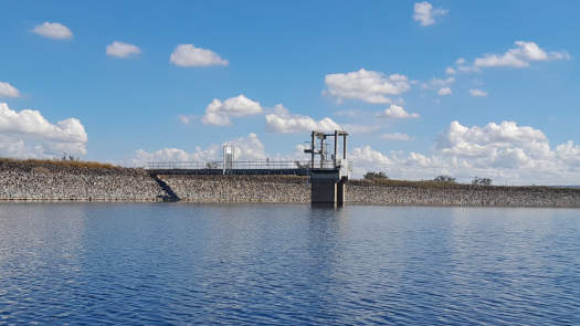
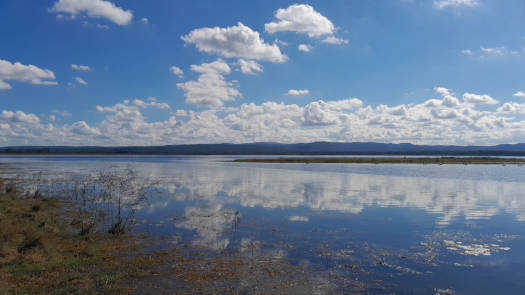
Clarendon Dam is located west of Lake Wivenhoe, close to Gatton. It is part of the local irrigation scheme.
The lake is mostly closed to the public except for paddlers, making for a quiet and unique wildlife viewing opportunities.
What to expect
The lake is about 1.5 km long and up to 0.8 km wide in places.
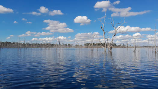
The dam wall is over 4 km long, with loose rocks that dampen any reflective waves. The low angled shoreline opposite provides excellent habitat for waders and a section of drowned trees on the far side provide excellent wildlife spotting.
Features and facilities
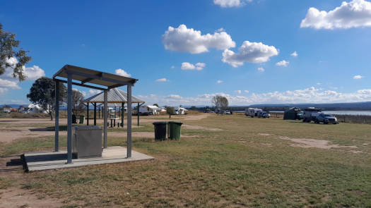
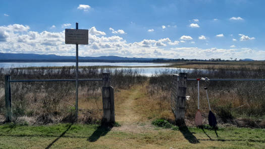
Carry your boat from the day use area down to the lake. The gate is directly opposite the main entry point and could be obscured by campers set up too close to the gate.
The day use area has toilets, bbq and picnic tables.
It is often busy as it also allows free camping.
The lake is managed by Seqwater and the day-use area is managed by the Lockyer Valley Regional Council.
Map
Explore the key locations in the map below. Most locations will have a photograph that can be seen by clicking on the icon or number in the map itself.
The map also has markers every 100 metres that start at 0 from the put in area.
You may need to zoom in to see all of these markers. These do not correlate with any existing numbering system on the lake.
- Day use area
- Spillway
- Kayak Ramp or Path
- Viewpoints
What to take
Ensure electronic devices and gear have waterproof containers / dry bags if needed.
What to wear
- Sunscreen / Chapstick *
- Sunglasses *
- Hat *
- Swimwear or shorts †
- Sun protective clothing (rashie) †
- Water shoes †
What to take
- Water
- Snacks
- Phone
- Camera
- Watch
- Sponge
- Rain jacket
- Spare clothes / Towel
Safety
- PDF (life jacket) *
- Whistle
- Paddle float ‡
- Bilge pump ‡
- Paddle lease *
- Spare paddle
- Light (night paddling)
* Highly recommended (aka required)
† You should wear clothing and footwear that you can comfortably swim in.
‡ These are for self or assisted rescues as there are places that you can't easily swim back to the shore.
Wildlife
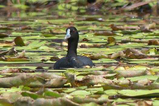
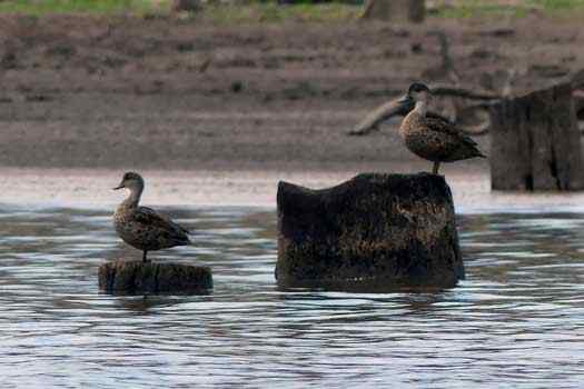
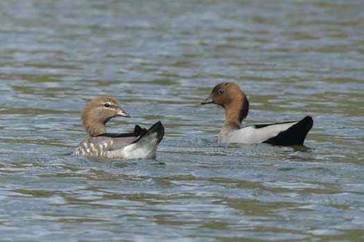
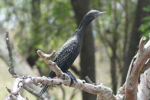
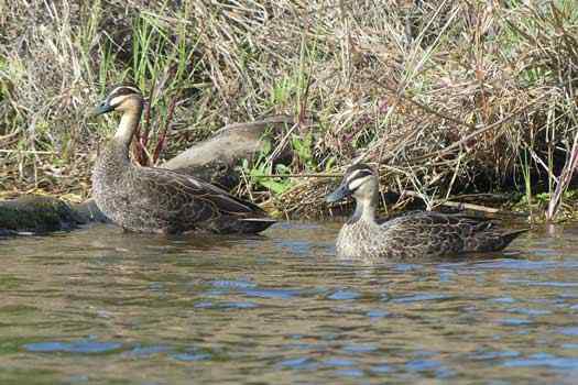
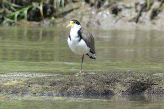
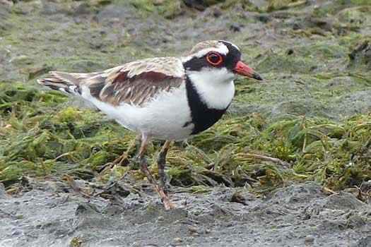
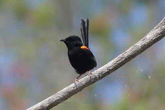
The lake has seen a large number of duck and wetland birds as well as other species that come in for water.
Trip Details
Circumnavigation
- Length
- 8.3 km
- Type
- Flatwater
- Time
- full day
- Trip
- Circumnavigation
- Technical difficulty
- Grade I
- Rating
Quick Stats
- Lake / Reservoir
- Lake Clarendon
- Dam / Weir
- Clarendon Dam
- Waterway
- Lockyer Creek
- Perimeter
- 9.8 km
- Capacity
- 24.2 GL
- Flood Mitigation
- N/A
- Catchment
- 3.4 sq km
- Area
- 3.2 sq km
- Council Areas
- First Nations
- YuggeraGiabal (Barunggam)
- More Info
- Seqwater
Directions

