Advancetown Lake
Hinze Dam
What to expect
Hinze Dam is located in the scenic Gold Coast hinterland.
It is the main drinking water supply for the Gold Coast region. As such the water level is subject to demand and the lake will be lowest after a long dry spell. It also plays an important role in flood mitigation.
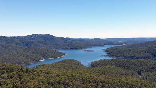
There are two major arms of the lake, making it vaguely horseshoe shaped, approx. 16 km from the end of one arm to the other if you paddle the shortest path. Even at its widest, the lake is never more than 1 km wide.
Little Nerang Dam that is upstream of the western arm is currently closed due to safety concerns. Maybe permanently?
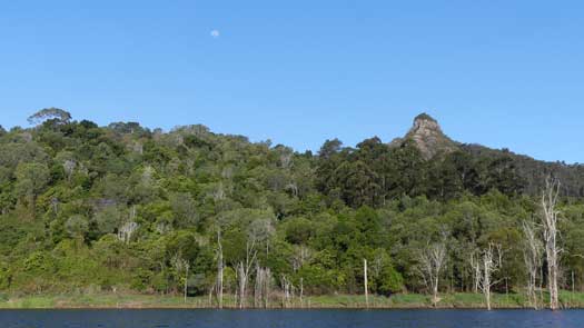
If you want a mixed hiking and paddling day, the Pages Pinnacle would make a challenging hike with great views of the lake, You can find guides online at All Trails and Aussie Bushwalking.
Logistics
Access is generally from the Gold Coast via the Pacific Motorway (M1). There are are only two boat ramps on the lake
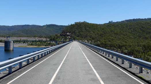
A third ramp can be found on the dam wall itself, but has restricted access and it would be a very long portage along the footpath on the headwall.
The Hinze Dam Visitor Centre has educational displays, a café and function centre and is located below the dam off Advancetown Road. No easy access from the water, either a low angled rock wall or to pull up in the restricted access areas by the quarry or dam boat ramp.
The dam and recreation facilities are open to the public seven days a week at the time of writing, from 5:30am to 6:30pm (September – April) and 6:00am to 5:30pm (May – August).
Features and facilities
Primary point of truth for the lake should be the official SEQWater published Location maps and guides.
High levels of naturally-occurring mercury have been detected in fish here. As such all fish caught should be released and not taken.
The following is a rough guide about different locations around the lake starting from the far point in the western arm. Tank water at the boat ramps is not portable.
| Location | Features † | Distance ‡ | |
| Eastern Boat Ramp | |||
| Pine Creek Bridge | 5.6 km | ||
| Western Boat Ramp | - | ||
| Dam Spillway | 3.5 km | ||
| Eastern Boat Ramp | 6.9 km | ||
| Little Nerang Creek | 11.4 km | ||
† Most of the features were taken from SEQWater published Location maps and guides.
‡ Distances are approximate only and are based on roughly staying near the shoreline with occasional crossings.
Access Restrictions
Access is restricted directly above the dam wall and both intake pumps for the Gold Coast water supply.
Refer to the SEQWater Hinze Dam guide for up to date information.
Trip Details
Circumnavigation
- Length
- 35 km
- Type
- Flatwater
- Time
- full day
- Technical difficulty
- Open Water I
- Rating
- Dangers
- Wind waves
Quick Stats
- Lake / Reservoir
- Advancetown Lake
- Dam / Weir
- Hinze Dam
- Waterway
- Nerang River
- Shoreline
- 45 km
- Capacity
- 311 GL
- Flood Mitigation
- N/A
- Catchment
- 207 sq km
- Area
- 15 sq km
- Elevation
- Council Areas
- First Nations
- Bundjalung
- Directions To
- Western Boat Ramp
Eastern Boat Ramp
Map
Explore the key locations in the map below. Most locations will have a photograph that can be seen by clicking on the icon or number in the map itself.
- Spillway
- Day Use Area
- Pine Creek Bridge
- Little Nerang Creek
- Boat Ramps
- Viewpoints
What to take
Ensure electronic devices and gear have waterproof containers / dry bags if needed.
What to wear
- Sunscreen / Chapstick *
- Sunglasses *
- Hat *
- Swimwear or shorts †
- Sun protective clothing (rashie) †
- Water shoes †
What to take
- Water
- Snacks
- Phone
- Camera
- Watch
- Sponge
- Rain jacket
- Spare clothes / Towel
Safety
- PDF (life jacket) *
- Whistle
- Paddle float ‡
- Bilge pump ‡
- Paddle lease *
- Spare paddle
- Light (night paddling)
* Highly recommended (aka required)
† You should wear clothing and footwear that you can comfortably swim in.
‡ These are for self or assisted rescues as there are places that you can't easily swim back to the shore.
Wildlife
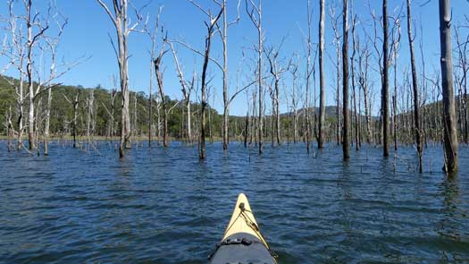
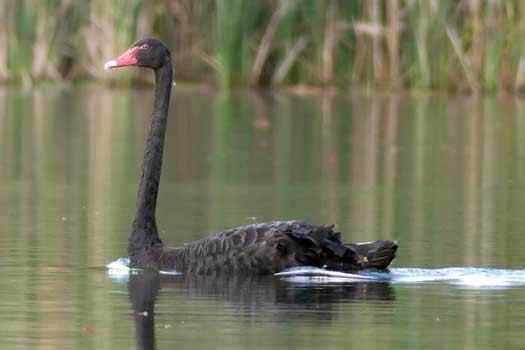
There is a wide variety of birdlife on the lake. Darters, Cormorants, Egrets, Pelicans, Ducks and Swans are common on the water and a large array of other species can be seen along the shoreline. The dead stands of forest gums and boxes don't provide as many nesting opportunities as the flooded river gums, though large flocks of Cormorants commonly use these.
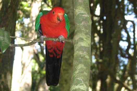
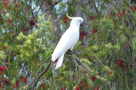
The lake is surrounded by conservation reserves and national parks and bird songs from the forest can be heard, along with sightings of forest birds like cockatoos, corellas, honeyeaters, king parrots and many more.
Large numbers of Blue Tiger butterflies were common on the lake when I visited along with a few other species making the occasional visit.

