Lake Samsonvale
North Pine Dam
What to expect
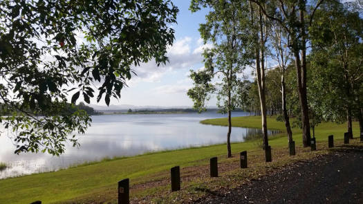
North Pine Dam is located inland from Petrie on the North Pine River and is the main drinking water supply for north Brisbane and Moreton Bay. As such the water level is subject to demand and the lake will be lowest after a long dry spell.
The lake is vaguely compartmentalised into three sections with a long arm up North Pine Creek depending on the water level. These natural features help determine five zones on the lake where public access is restricted to just part of the first section nearest the dam. This provides just under 15 km of shoreline to explore.
Features and facilities
The only public launch point is at Forgan Cove, off Forgan Road. Forgan Cove has toilets and picnic shelters. No other features of significance within the public area of the lake.
Access Restrictions
Access is severely restricted to less than a quarter of the lake within Zone Two. No access near the dam wall that includes all water east of Forgan Cove to the first narrow point in the lake to the west that provides approx 1 km by 2 km of paddlable water.
- Zone One
- No access area near the dam wall
- Zone Two
- Public access with paddle craft only
- Zone Three
- Restricted to pass holders from the Pine Rivers Fish Management Association.
- Zone Four
- Restricted to members of Lake Samsonvale Water Sports Association.
- Zone Five
- No access
Refer to the SEQWater North Pine guide for up to date information.
Map
Explore the key locations in the map below.
- Zone One
- Zone Two
- Zone Three
- Zone Four
- Zone Five
- Kayak Ramp or Path
What to take
Ensure electronic devices and gear have waterproof containers / dry bags if needed.
What to wear
- Sunscreen / Chapstick *
- Sunglasses *
- Hat *
- Swimwear or shorts †
- Sun protective clothing (rashie) †
- Water shoes †
What to take
- Water
- Snacks
- Phone
- Camera
- Watch
- Sponge
- Rain jacket
- Spare clothes / Towel
Safety
- PDF (life jacket) *
- Whistle
- Paddle float ‡
- Bilge pump ‡
- Paddle lease *
- Spare paddle
- Light (night paddling)
* Highly recommended (aka required)
† You should wear clothing and footwear that you can comfortably swim in.
‡ These are for self or assisted rescues as there are places that you can't easily swim back to the shore.
Wildlife
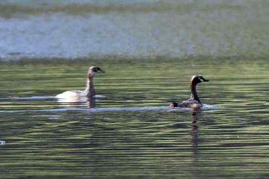
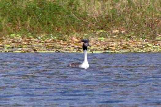
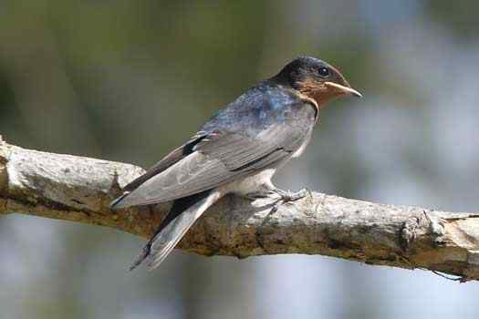
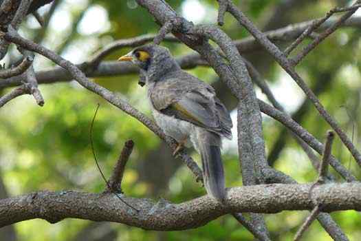
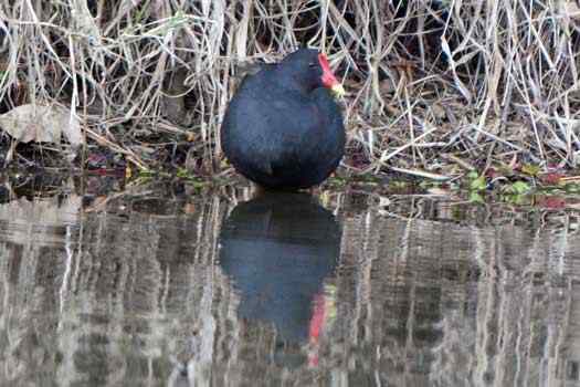
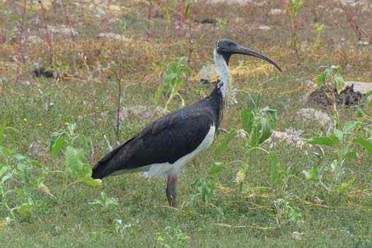
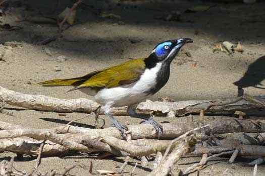
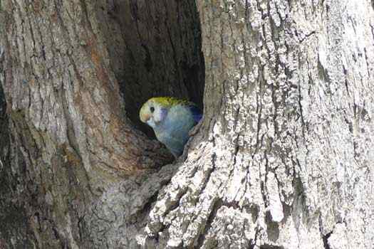
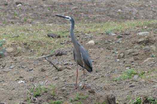
Grebes, ducks, cormorants, terns, coots can be seen along with rosellas, pigeons, wagtails and many other birds.
Quick Stats
- Lake / Reservoir
- Lake Samsonvale
- Dam / Weir
- North Pine Dam
- Waterway
- North Pine River
- Shoreline
- 90 km plus
- Capacity
- 214 GL
- Flood Mitigation
- N/A
- Catchment
- 348 sq km
- Area
- 22 sq km
- Elevation
- Current Storage
- 100.4 GLD (47%)
- Council Areas
- First Nations
- Kabi Kabi
- More Info
- Seqwater
QLD DAF
Directions

