Looking out over the town of Gundagai

Upper Murrumbidgee

Key Waypoints and Information

The section almost makes up for a third of the total length of the river (435.3 km) and has rapids up to Grade IV with a couple of compulsory portages.

Key Waypoints

  • 0 km

    Source

    Open grassland
    Distance between locations 0 m Elevation 1,568 m
    Coordinates 35° 35' 13.7" S, 148° 34' 36.9" E

    Easy trek on Peppercorn Fire Trail with a short 750 m off trail section to find the source.

  • 62.2 km

    Tantangara Reservoir (254GL)

    River
    Distance between locations 62.2 km Elevation 1,205 m
    Coordinates 35° 47' 43.6" S, 148° 39' 47.6" E
    Dam wall (45m)
    Gauge: Yaouk No2 (D/S Yaouk Ck), WaterNSW
    Flow: no flow: 0.41 m, recommended: above 0.75 m

    Tantangara is a reservoir for Lake Eucumbene that is part of the Snowy Mountains Scheme network of dams. Water from Lake Eucumbene either makes its way naturally down to the south east coast via the Snowy River, or it is fed back into the Tumut and Murray hydro-electric power stations.

    The remote gorge of this section passes through steep countryside that will be very dependent on the water levels. There are many small tributaries, two of the bigger ones are:

    River
    Yaouk Creek
    Distance note 25.8 km from Tantangara Dam Elevation 1,062 m
    Alum Creek
    Distance note 63.2 km from Tantangara Dam Elevation 905 m

    The gorge has consistent Grade II to III sections with some approaching grade IV with at least one compulsory portage. See Waterways Guide for details.

  • 171.9 km

    Binjura (Cooma)

    Distance between locations 109.7 km Elevation 735 m
    Coordinates 36° 10' 13.3" S, 149° 5' 28.2" E Date Mittagang Rd Bridge
    Population 6,742 Supermarket(s) Climate
    Gauge: Mittagang Cross, BOM; WaterNSW
    Flow: no flow: 0.10 m, recommended: above 0.47 m

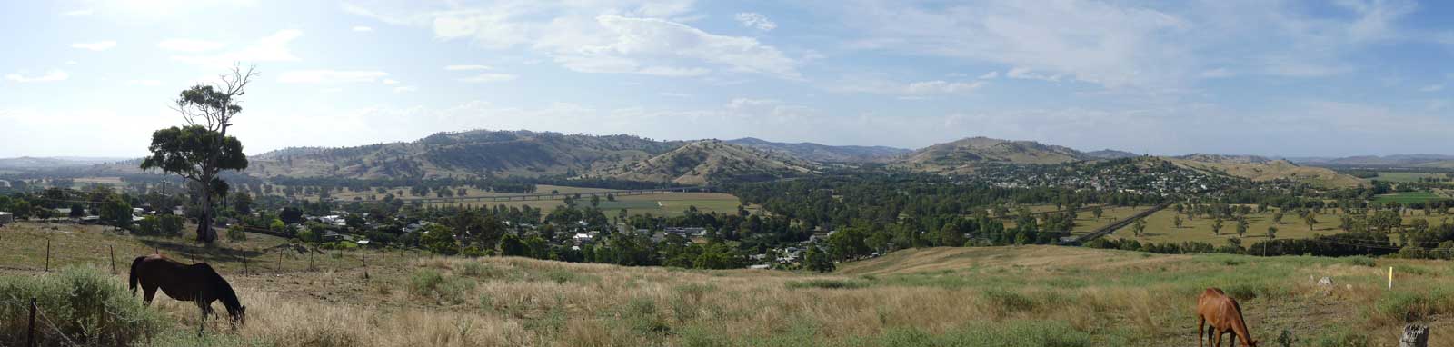
    Cooma is 5.2 km SES along Mittagang Rd.

    Mixed farmland and gorges lead you down to the capital. The gorge has some Grade II to IV sections and portages are likely.

    See Waterways Guide for details, noting the guide for this section of the river is broken up into multiple legs.

    Numeralla River
    Distance note 17.4 km from Binjura Elevation 705 m
    Bredbo River
    Distance note 31.2 km from Binjura Elevation 696 m

    The small town of Bredbo (pop. 350) is ~1.5 km away.

    Ford across the river
    Gudgenby River
    Distance note 90.8 km from Binjura Elevation 570 m
  • 300.9 km

    Canberra (Cotter Dam)

    River running through a gorge
    Distance between locations 129.0 km Elevation 460 m
    Coordinates 35° 19' 26.7" S, 148° 57' 1.1" E
    Population 395,000 Climate
    Measured at Cotter Ck confluence that is just before the bridge
    Gauge: Halls, WaterNSW
    Flow: no flow: -0.06 m, recommended: above 1.15 m

    Cotter Dam is about due west of the city centre but the early Point Hut Crossing is likely the closest that you will get to shops as you paddle by.

    The satellite images suggest this next leg will be the most technical of the upper sections with a possible difficult portage around Burrinjuck Dam. Doing some research online using the Waterways Guide confirmed this.

    Below Burrinjuck Dam is a 7 km section of Grade III to IV rapids that ease as the river flattens out as you head towards Jugiong. It is best to do this section with a river height of 1.3-1.7 m.

    Please refer to the Waterways Guide site for details about these sections.

    Point Hut Crossing
    Elevation 555 m
    Supermarket(s)

    There is a large shopping centre 2.3 km walk from the bridge.

    Point Hut Crossing is 22.7 km upstream from Cotter Road Bridge and ~100 km downstream from Binjura.

    Molonglo River
    Distance note 13.1 km from Cotter Ck Elevation 435 m
    River
    Yass & Goodradigbee Rivers
    Distance note 86.8 km from Cotter Ck Elevation 345 m

    Both rivers flow directly into Lake Burrinjuck.

    Waterways Guide states that Burrinjuck Dam access is currently restricted without detailing the reason.

    Burrinjuck Dam (1,028 GL)
    Distance note 107.1 km from Cotter Ck Elevation 365 m

    This is a heritage-listed major gated concrete-walled gravity hydro-electric dam that is 93 m high.

    Dam wall
  • 465.6 km

    Jugiong

    Landscape
    Distance between locations 164.7 km Elevation 239 m
    Coordinates 34° 49' 30.2" S, 148° 19' 55.6" E Date Bundarbo Rd Bridge
    Population 220

    Jugiong is a very small country town with a hotel and petrol station.