Summit to Source to Sea
Upper Condamine down to Wentworth
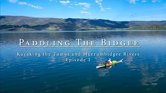
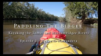
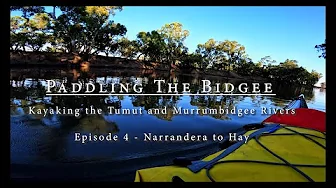
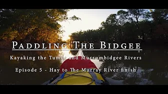
Phil Roy produced an excellent series of videos of his trip in 2022/23 on a high flowing 'bidgee.
Refer to the main maps page for distance markers, et al.
The Federal Government's National Maps is a useful online topological map with lots of additional data providers like the SRTM 1 sec DEM data set.
Sentinel Hub is a great tool for viewing near real time satellite data including Sentinel, Landsat, and other Earth observation imagery.
Info on buses, etc
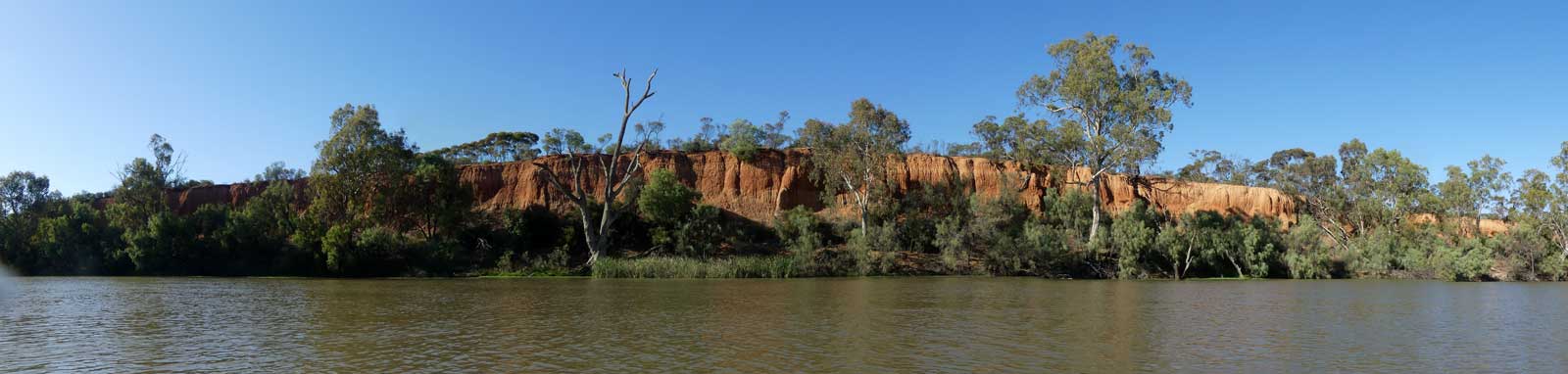
Other things about the Murrumbidgee River and surrounding area
©2026 Alan Davison // Credit // Disclaimer