Additional information
Other things about the Murray River and surrounding area
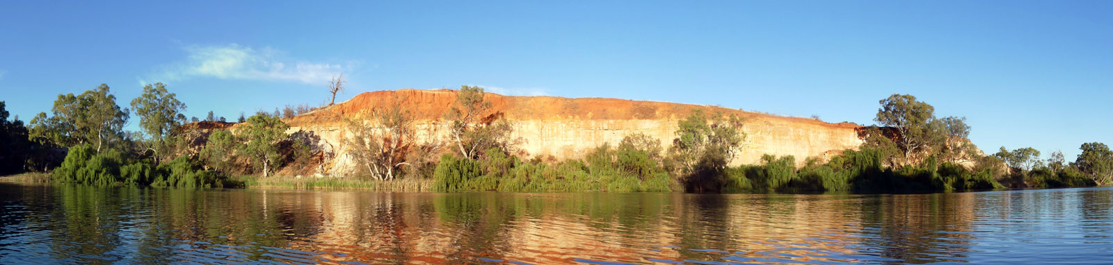
Water is a very good servant, but it is a cruel master.

There has been a series of weirs and dams built on the Murray River to ensure boat navigation and secure water supplies within the basin. Barrages were also built across the entrance of Lake Alexandrina to keep the water fresh in the lower reaches and lakes. All of the weirs on the lower sections and two of the barrages (Goolwa and Tauwitchere) have locks that allow boats to travel up and down the river. Hume Dam and Yarrawonga Weir do not have locks and portages are required.
I have compiled key information about each lock along with some other useful information in the table at the bottom on this page. Lock opening hours and operator numbers can be found on signage located near the locks with the exception of the Tauwitchere Barrage Lock that is self-operated.
Updated information for SA maintained locks and the barrages can be found on the SA Water website or by calling the SA Water Berri office on 08 8595 2222. These include all locks from Lock 9 downstream.
General enquiries for the others can be done by calling the respective Lock Masters or NSW Water on 1300 662 077 for Hume, Euston & Wentworth, or Goulburn-Murray Water on 03 5826 3500 for Yarrawonga, Torrumbarry & Mildura.

Portage for the dam is up the public boat ramp prior to both the caravan park and the dam. It is a long portage, nearly 2 km up and over the hill at Lake Hume Village and down Trout Farm Road to the park at the bottom of the hill where you can launch from the river bank.
Expect to take up to an hour for the portage depending on your setup. Trolleys are recommended if you can't organise anyone to give you a lift!
Use the Spillway Reserve Boat Ramp for put-in if someone is giving you a lift. Continue driving along Trout Farm Road to find this just below the dam wall on the Victorian side of the river.

This is the second of the two portages on the Murray River, 700 m. From here you will have locks on all weirs.
The portage is on the left, on the Yarrawonga (VIC) side. Follow the road around and across the train tracks / channel and keep going straight into the Yarrawonga Caravan Park. A public boat ramp can be found just past the camp office. Considering the length of this portage, a trolley or a pre-organised lift are recommended!
Use the Bank Street Boat Ramp for takeout if someone is giving you a lift.

All of the lower weirs have locks, and you can access these during operating hours for 364 days a year, closing only for Christmas. There is no charge for accessing the locks during operating hours.
At Mildura, they use a formal schedule of down on the hour and up on the half hour. Other weirs are much less busy and you can call though on your mobile once you get close and you usually will be let down without any significant delay. Three prolonged blasts (4 seconds each) on a whistle or horn can be used if you can not ring the Lock Master.
The general procedure for all locks are to:
On the Telstra network in 2020, the only lock where I couldn't call on my mobile was lock 8 but the Lock Master saw me coming and let me through.
As previously noted, the locks are usually open 364 days a year, closing only for Christmas. They may be closed for extended periods due to maintenance or flooding.
Most locks operate on demand, but Mildura follows a formal schedule of opening on the hour and closing on the half hour. I've experienced slight delays with the first lockage of the day at Wentworth on a couple of occasions now, with the lock master performing maintenance tasks (20-30 minutes).
Operating hours are based on local time zones. Australian Eastern Standard Time (AEST) for Torrumbarry (lock 26) through to Rufus River (lock 7), otherwise Australian Central Standard Time (ACST) for the remaining locks and barrages that are all in South Australia.
Open 8:00-12:00 and 13:00-16:00

Open 8:00-11:30 and 13:00-16:30

Open 8:00-12:30 and 13:30-16:30

Torrumbarry Weir features undershot regulators, where the river flows beneath the large mechanical radial gates. These gates are lifted to allow more outflow through the weir.
Mildura Weir is the only weir on the river where the lock and weir are separated. The lock is situated in a constructed channel, which forms Lock Island today. The weir is a Dethridge Weir, which features steel-wheeled trestles housed on rails that enable them to be retracted from the river during times of flood. Removing and reinstalling these trestles can take days to complete, with the lock being closed during this process. Stopper boards are lowered between these trestles to control the river's height, allowing the water to flow over the top.
All the other weirs on the lower Murray are adjustable overshot weirs with fixed piles capped for access across the weir. Large concrete stoplogs, also known as "logs", are used to adjust the height of the upstream section, with excess water flowing over the top.


 in minor flood. The channel is marked with green and red navigational markers")
In a minor to moderate flood, the locks are typically closed, and the weir gates are fully opened, or the logs are removed.
In flood, a portage at Torrumbarry Weir is likely, but navigation of the other weirs downstream is possible by fully or partially removing the weir itself.
Mildura Weir is completely removed, allowing navigation along the natural river course around Lock Island.
Euston and all the other weirs from Wentworth to Blanchetown will have a navigation channel through part of the weir itself, usually beside the lock. Buoy lines will guide you through this passageway. While all the stoplogs are removed, most of the piles will remain in place, and only the capping/gantry from the navigation channel is removed.

Barrages at the river mouth prevent an influx of salt water into Lake Alexandrina. There are a number of barrages, but only two locks are present and operational.
Goolwa Barrage is similar to all of the other weirs on the river, with a Lock Master letting you down. Open 8:00-12:30 and 13:30-16:30.
Tauwitchere Barrage has a lock that is self-operated, thus open 24 hours.
| Num | Name | Lock | River Leg§ | |||||||
| Pool* | Drop† | Number | Portage | Distance | Drop | Slope | ||||
| Hume Dam | 182.9 m | 42 m | Required, see notes above | 213 km | 82.1 m | 0.39‰ | ||||
| Weirs | ||||||||||
| Yarrawonga | 124.9 m | 8.0 m | Required, see notes above | 218 km | 16.0 m | 0.07‰ | ||||
| 26 | Torrumbarry | 86.0 m | 6.2 m | 03 5487 2900 | Left. Around the lock information centre and down past the Holiday Park to a boatramp. 550 m Alternatively, it may be possible to take out on the poontoon just right of the lock with a scramble across the rocky weir wall. 120 m |
348 km | 30.9 m | 0.09‰ | ||
| 15 | Euston | 47.6 m | 5.0 m | 03 5026 4005 | Right. Long cross-country portage around the maintenance yard. Steep bank downstream. 600 m | 484 km | 32.2 m | 0.07‰ | ||
| 11 | Mildura | 34.4 m | 3.6 m | 03 5023 1396 | Left across the lawn beside the lock (not the weir itself). Short, steep rocky bank to re-enter. 220 m. | 214 km | 8.2 m | 0.04‰ | ||
| 10 | Wentworth | 30.8 m | 3.4 m | 03 5027 3190 | Get out beside the lock onto Cadell Street for 600 m, before taking the dirt down to the free camping area that has a boatramp. 900 m | 52 km | 0.0 m | 0.00‰ | ||
| 9 | Kulnine | 27.4 m | 2.8 m | 03 5028 2235 | Left. Private boatramp around the lock and rough track / scramble back to the river. 400 m | 60 km | 0.0 m | 0.00‰ | ||
| 8 | Wangumma | 24.6 m | 2.5 m | 03 5027 8231 | Right. Private driveways behind the lockmasters house loop around back to the river. | 39 km | 0.0 m | 0.00‰ | ||
| 7 | Rufus River | 22.1 m | 2.8 m | 03 5027 8225 | Unknown. | 29 km | 0.0 m | 0.00‰ | ||
| 6 | Murtho | 19.2 m | 2.9 m | 08 8595 8025 | Right. Pull out near the lock and walk along the path to an old boatramp. 180 m | 77 km | 0.1 m | 0.00‰ | ||
| 5 | Renmark | 16.3 m | 3.1 m | 08 8595 5114 | Left. There is a boat ramp just past the moored houseboats, 250 m upstream from the lock. Take Lock 5 Road where you may be lucky to access the river via a steep bank if the gate just downstream of the lock isn't padlocked (500 m), otherwise stay on Lock 5 Road to the beach at the very end of the road (900 m). | 57 km | 0.0 m | 0.00‰ | ||
| 4 | Bookpurnong | 13.2 m | 3.4 m | 08 8582 1388 | Unknown. Likely requires scrambling up the right bank and around the fenced maintenance yard opposite the lock. This would involve carrying your boat 100 m before another 400 m along dirt tracks. | 46 km | 0.0 m | 0.00‰ | ||
| 3 | Overland Corner | 9.8 m | 3.7 m | 08 8588 7005 | Right. Pull out onto the grass and along the path in front of the buildings. Steep rocky bank down to the river can be avoided by respectively traversing further downstream on the crown reserve land beside the river. The house and most of the ground in front has private title. 320 m | 84 km | 0.0 m | 0.00‰ | ||
| 2 | Waikerie | 6.1 m | 2.8 m | 08 8543 2246 | Right. Pull out onto the grass and along the path in front of the buildings. Steep rocky bank down to the river. 300 m | 69 km | 0.0 m | 0.00‰ | ||
| 1 | Blanchetown | 3.3 m | 2.5 m | 08 8540 5001 | Right. Boatramp and up around the fenced lock complex. Recommended to try and pull out closer. 750 m | 88 km | 0.0 m | 0.00‰ | ||
| Barrages | ||||||||||
| Lock | Goolwa | 0408 813 729 | Right: Jet ski boat ramp, taking the narrow Barrage Rd around the fenced lock complex. 820 m
It maybe better to portage on Hindmarsh Island? Cross the bouylines and around the small fenced area by the edge. 75 m |
268.4 km | 0.0 m | 0.00‰ | ||||
| Mundoo | Either. Rock leeve with road. 20 m | |||||||||
| Boundary Creek | Either. Rock leeve with road. 15 m | |||||||||
| Ewe Island | Left. Kayak ramp before crossing road to another kayak ramp. 10 m | |||||||||
| Lock | Tauwitchere | n/a | Middle-Right. The self-operated lock is slow; the ramps provide a faster portage option (45 m). The lock is approximately 1 km from the western edge
and can be hard to see from a distance.
Take care around any seals sleeping on the ramp or banks. Scare them into the water from a safe distance before getting out of your boat. |
|||||||

©2026 Alan Davison // Credit // Disclaimer