Locks and Weirs
Summary of important lock and weir information, including lock master phone numbers and portage information
Locks and Weirs found on the creeks and anabranches of the Murray
I will not follow where the path may lead, but I will go where there is no path, and I will leave a trail.
These are not on the Murray itself, rather than side creeks and anabranches.

Khancoban Dam, Swampy Plain River, NSW
Khancoban Pondage helps to regulate the outflow coming from the Murray 2 Power Station. It has a gated spillway on the opposite side of the dam to the township. Access to the river is from the gravel road that runs alongside the base of the dam wall from the township itself (1.0 km), not the sealed Spillway Rd on top of the dam.
Below Biggara down to Lake Hume, there are a number of rock and metal weirs preventing the river from flowing into various billabongs and cuttings. These are normally fairly high and dry, but you should take care if you are trying to take shortcuts in flood flows.
Ryans Creek, VIC 2216.5
Just 7.3 km downstream of Hume Dam, you will pass the outflow to Ryans Creek on the left. This outflow is controlled by a rock weir that has a significant recirulating current that can be very dangerous. The weir is only marked with an old faded sign held up over the river. The outflow starts at around 3 m, 15,000 ML/day, as measured from Heywoods Bridge guage, however the exact height when it starts to flow is unknown.
The weir likely starts to wash out at around 35,000 ML/day, but it should only be attempted by experienced paddlers with spotters and only after a careful examination of the downstream eddies. Ryans Creek is very snaggy with a couple of log dams/rafts possible.

, 3,500 ML/day.")
, 25,000 ML/day.")

Wodonga Creek, VIC
Abount 500 m past the Hume Highway bridge, there is a stone weir across the river beside Diamond Park. This is downstream of the cutting that inflows from the Murray at 2201.5.
Photo was taken with a flow of 6,200 ML/day, 2.2m at Doctors Point, which is the first guage past the Kiewa River confluence.

Dights Creek, NSW 2169.7
This old diversion dam is a major navigational hazzard on Dights Creek. The dam is located 75 m downstream of the outflow from the Murray and is made up of a crib of old red-gum logs. All navigation of the top section is prohibited and a boom line is used to prevent access into the creek. The strength of the current through the old logs would almost certainly be fatal if you were caught in this.
Photo was taken on an average flow of 6,500 ML/day or 2.25 m at Doctors Point.

Cutting to Black Swan Anabranch, NSW 2136.5
Second of the restricted sections between Albury and Howlong. This controls the flow into the cutting that joins the Black Swan Anabranch. The dam is about 50 m downstream of the boom line. Like the upstream dam on Dights Creek, this is highly dangerous shieve that could easily prove fatal.
Photo was taken on an average flow of 6,500 ML/day or 2.25 m at Doctors Point. It was washed out in 2023 at with an upstream flow of 30,000 ML/day or 4.15 m.

Gravel Creek, VIC 2096.6
This cute little weir is usually hidden behind willows outside of winter and controls the flow into Gravel Creek. This creek runs through private property and has four low level farm bridges and at least one fence.
Photo was taken on a high flow of 32,000 ML/day or 4.84 m at Corowa.

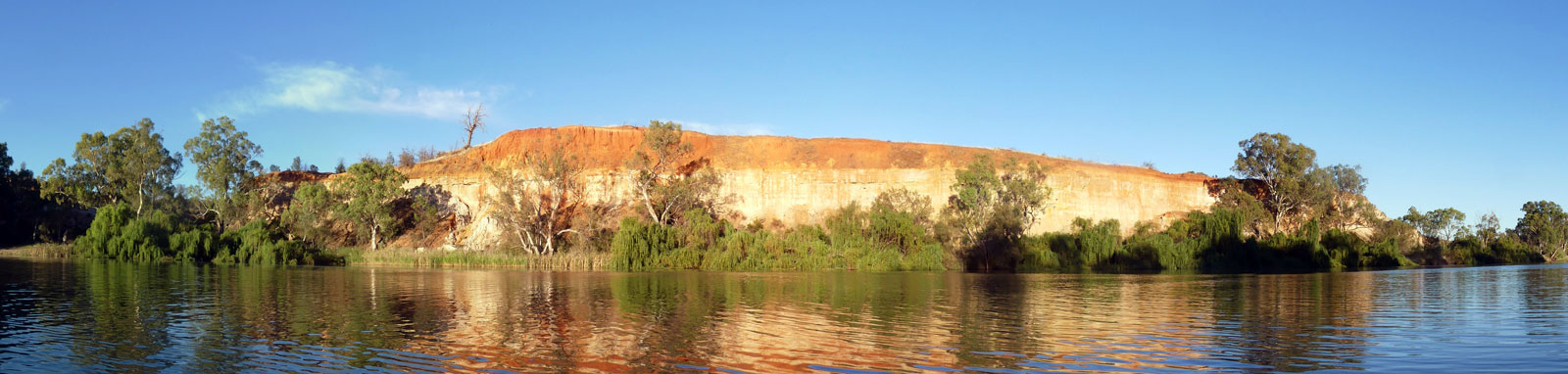
Katarapko Creek, SA 513.5
This rock weir is 700 m from the start of Katarapko Creek. With a low flow it will be a rocky scape or portage, but it was well submerged on higher flows.
Photo was taken on a low flow (3,400 ML/day) in 2021 with a height of 10.54 m at Bookpurnong (Lock 4) and 9.82 m at Overland Corner (Lock 3). I would expect this to be mostly washed out with flows above 10,000 ML/day unless the weir pool at lock 3 is exceptionally low.

©2026 Alan Davison // Credit // Disclaimer