


Weirs
Some important information about weirs
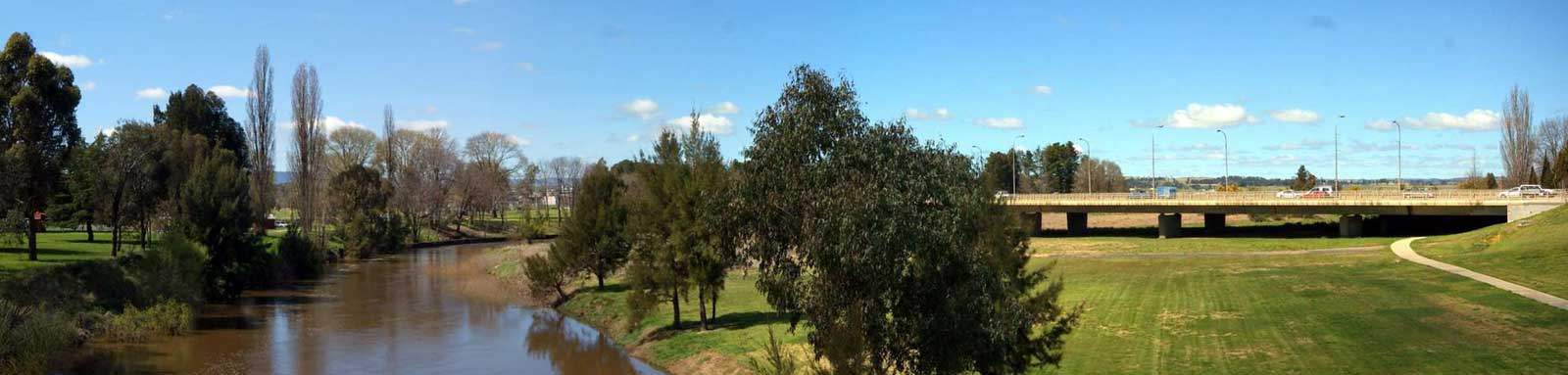
Campbells and Fish rivers confluence is the source of the Macquarie River. A number of other significant rivers flow into the Macquarie River.
The river is feed from the roundoff from Mount Coricudgy, the highest peak of the northern section of the central tablelands at 1,256 m. It meets the Macquarie on Lake Burrendong.
Downstream of Warren, the system gets confused with a lot of tributaries, distributaries and anabranches, along with the Macquarie Marshes that obscure the true path of the river.
Bulgeraga Creek, 103.4 km, is a major creek that flows on the eastern side of the South Marsh. Gum Cowal (38.9 km) and Terrigal (33.2 km) creeks are distributaries that flow into the Marthaguy Creek, 404.3 km, which rejoins back close the the Barwon River. Oxley Break, 4.8 km, appears to be the main channel that feeds into Bulgeraga Creek.
Marra (402 km) and Milmiland(82 km) creeks are just two of the western distributaries that take water out of the system near the South Marsh.
In the South Marsh, Monkeygar Creek (24.4 km) is an anabranch that has become the likely mainstem rather than the original path of the Macquarie River to the west. There is a major channel (10.9 km) about half way down that flows back towards the Macquarie River, but it appears to have a number of block banks.
The main path through the North Marsh appears to be the Bora Channel with the smaller Little Bora Channel, 5.0 km feeding into this. Ginghet Creek (96.2 km) to the west and Dusty Creek (41.5 km) to the east will likely act as distributaries during high flows.
The North Marsh Bypass channel (18.5 km) that was built in 1972 allows water to get diverted around the system to ensure some water gets to residents living downstream of the Marshes. This terminates near the northern end of the swamp where natural channels then funnel the water back into the mainstem. The Long Plain Cowal, 43.8 km, to the east of the bypass resides mostly on agricultural land.
There are a large number of other channels that have water depending on the amount of water and many will be choked with reeds.
The Castlereagh River joins just downstream of the confluence of Marthaguy Creek, near the Barwon River.

©2026 Alan Davison // Credit // Disclaimer