Chasing the Flood
Analysis of flood waters on the Darling River
It was difficult to accurately navigate using the paper maps for Condamine, Balonne and Culgoa rivers due to the frequent twists and turns and complete lack of things to take a bearing on. A GPS device is strongly recommended as an additional navigation aid.
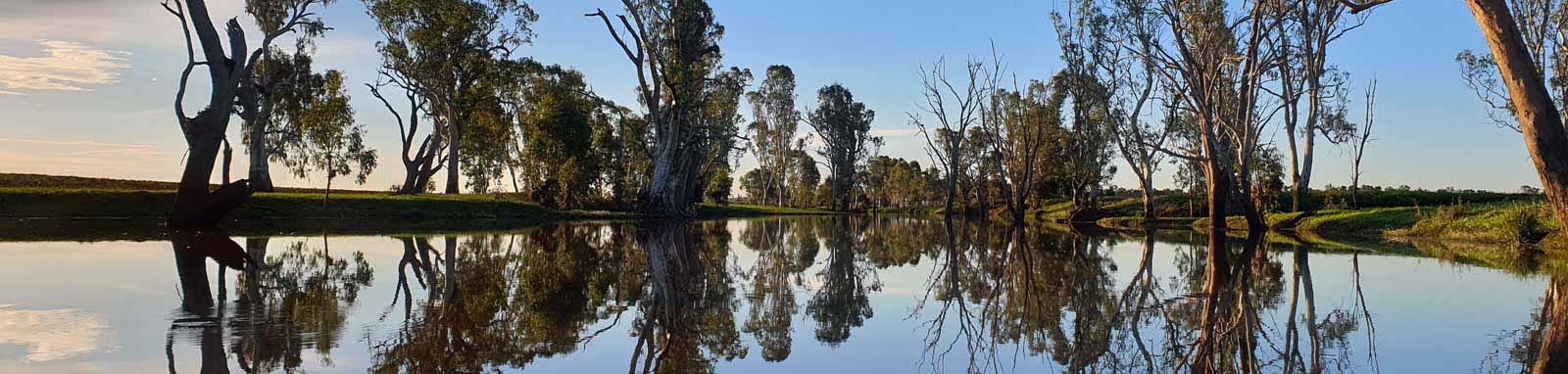
In the Culgoa Floodplains in flood, it becomes almost impossible to track your progress using paper maps. Navigation is mainly based on tracking the path made by the river gums and occasionally checking your GPS to ensure that you are still heading in the right direction. The river also channels a lot outside of the floodplains and it is best to check your GPS as the main channel is often difficult to distinguish from distributaries. The Barhka was easier to navigate, but there are a couple of critical places where the wrong turn will send you away from the main river, including the Narran River that terminates at endorheic (no outflow) Narran Lake.
The following map has distance markers for every km starting from 0 at the confluence where the Darling meets the Murray. At the Culgoa and Barwon confluence these separate out marking both the Culgoa to Condmine and Barwon to Macintyre systems to their respective sources.
Zoom in to see all of these markers. These do not correlate with any existing numbering system on the river.
Only a few NSW Water Authority blue signs remain on the river and these were only found in the lower navigatable sections between Wentworth and Ellerslie, maybe once extending all the way to Pooncarie. The mapping of these signs and my numbering system is closely aligned but differs slightly:
The distances are all calculated from Wentworth or more technically the Darling confluence with the Murray.

©2026 Alan Davison // Credit // Disclaimer