Darling River
Long slow journey to the Murray.
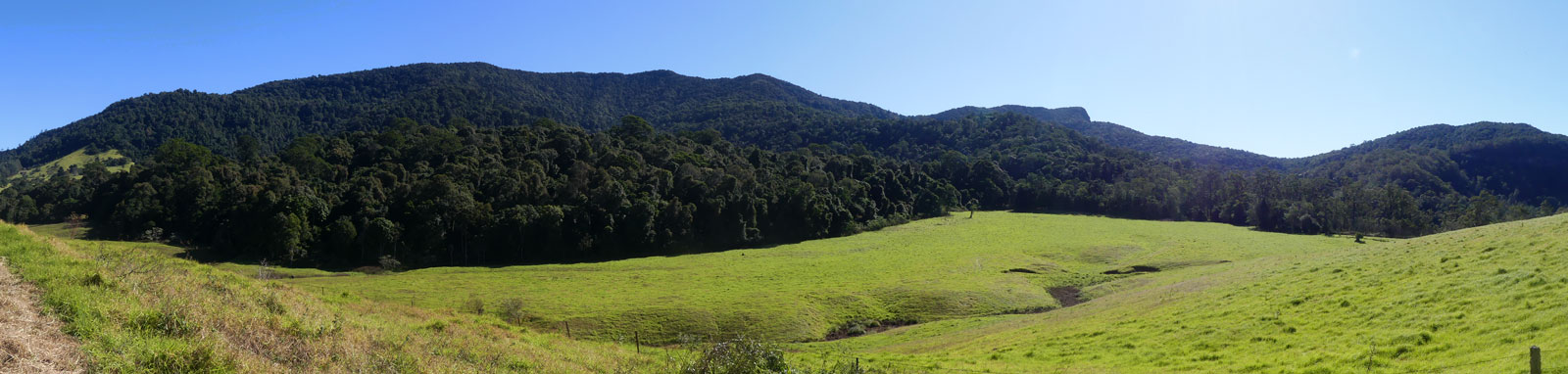

Mt Superbus is the highest peak in Southeast Queensland, towering over the source of the Condamine River. A steep ridgeline climb leads to the summit plateau with a couple of minor peaks. Queensland topographical maps suggest that the north peak is the highest point, but most other sources suggest that the middle main peak is the highest. Both peaks are marked by rock cairns.
The majority of the track to Mt Superbus was fairly easy to navigate, but it was almost a scramble at times. Most hikers appear to stop at the rock cairn that signals the north peak, and I had to leave the trail to find the main peak nestled in a small patch of tree ferns. While it was a sunny day, clouds obscured the sun at times, making navigation relatively difficult for such a simple ridgeline hike.

If you plan to do this hike, definitely take a compass to enable you to track true north without the sun or landmarks, and even a backup GPS unit is recommended to help find the summit. Most of the track is easy to follow and is relatively well marked with ribbons.
Take care after rain, as the track can get very slippery.
Access is via the gated Brett Road, just off Spring Creek/Head Roads near the Teviot Falls lookout. Park on Spring Creek Rd or just downhill at Teviot Falls lookout if it's busy.

©2026 Alan Davison // Credit // Disclaimer