Switch between measurement systems used on the site.
Flow:
ML/day
Volume:
Litres
Other:
Metric (km, kg, °C)
Note that you can also toggle these when you see these in the content too.
Flow calculator
From to
Misc other flow calculations can be calculated online at Kyles Converter.
Drinking Water
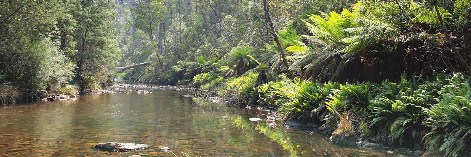
Even though you are surrounded by a billion litres of water, getting drinking water is not always as straightforward
as one would expect. There are two main options, to use the river or town supplies. The former
may not be safe in the hotter summer months due to blue-green algae outbreaks. If these get too bad, it may not
even be safe to continue paddling on the river!
River Water
In high flows it is highly recommended to
clarify
and treat the water before you
drink it. This will remove some toxins, extend the life of your water filter and make the
water taste a lot better!
Refer to the Safety page for some of the issues related to drinking
untreated water.
Refer to the Water Treatment page for various options on how you can clarify
and treat water.
Blue-green algae (Cyanobacteria)
Blue-green algae is common in most freshwater systems, but some species are known to produce toxins that make the water
unsafe to drink and even unsafe to touch in bad blooms. All of the major Australian rivers will have a risk and the
Darling River is no exception. Blooms may not be reported from remote sections of the river.
The national algal information line 1800 999 457 for known outbreaks
by Water Quality Australia.
The MDBA publishes monthly updates
of key rivers and WaterNSW has a real-time alert map.
Other states seem to delegate reporting to their local councils or provide alerts or signage when needed.
In the event of an algae bloom, switch to town supply! There are no simple ways to remove Cyanobacteria
toxins and each species has specific treatment requirements.
Town Supplies
Let us know if any of the listed town water sources are incorrect or if you have found additional sources.
When letting us know about new sources, let us know if it is a tap, drinking fountain, etc, and simple instructions
to find it along with the approximate coordinates.
You can use Google Maps
or similar tools to help get the coordinates. A demo using Google Maps for how I got
the Renmark drinking fountain coordinates.
Here is a list of various public water points that are known on the river. This does not include camping grounds,
private homes, businesses or shops that will be able to provide additional water points.
Town(s)
Water Source
Distance
Condamine (from first crossing)
Killarney
Unknown
21 km
Warwick
Toilets
Toilets in Rotary Park beside bridge, likely others in Queens Park
70 km
Fountain
Beside skate park
Cecil Plains
Taps
Toilets at Apex Park beside the bridge or the Caravan Park in town
222 km
Taps
Dump point Caravan Park in town
Dalby
None
10 km to town
61 km
Chinchilla
None
It is a 6 to 10 km walk to town.
143 km
Condamine
Toilets
Toilets in Pioneer Park beside bridge
85 km From Cecil Plains 289 km
Balonne & Culgoa
Surat
Fountain
Also the toilets across the road in Lions Park.
211 km
St George
Drinking Fountain
Just beside the toilets downstream of the boat ramp. On both trips the water tasted fine cold, but had a slight chemical taste once it warmed up.
179 km
Weilmoringle
None
I got some water (bore) from one of the locals
345 km
Darling
Bourke
Drinking Fountain
Just beside the toilets
247 km From St George 592 km From Brewarrina 205 km
Louth
Tank Water
Rain water from the tank by the town hall; taps beside toilets are non-potable
205 km
Tilpa
None
168 km
Wilcannia
Tap
Camping ground taps
271 km From Louth 439 km
Menindee
Tap
Tap by the fish cleaning table beside the boat ramp
318 km
Tap
Just behind the seats, Burke and Wills Park
Pooncarie
Tap
Tap in the councul run Pooncarie Multi Purpose Park (Padda Park). Coin operated hot showers available.
295 km
Toilets
Basins. Best to use the tap at the upstream camping area.
Wentworth
Drinking Fountain
Beside toilets, Junction Park
238 km
Tap
Male public toilets under sink, walking up Wharf St from the boat ramp.
For anyone starting on the Barwon River.
Town(s)
Water Source
Distance
Walgett
Toilets
Beside toilets in park beside the Namoi River, Walgett. 5 km paddle from the Barwon River.
Brewarrina
Tap
Picnic table beside toilets near the visitor centre. 200 m from the boat ramp.
283 km
Bourke
Drinking Fountain
Just beside the toilets
205 km
For anyone taking the Bokhara River (alternative path).
Town(s)
Water Source
Distance
St George
Drinking Fountain
Just beside the toilets downstream of the boat ramp. On both trips the water tasted fine cold, but had a slight chemical taste once it warmed up.


Let us know if any of the listed town water sources are incorrect or if you have found additional sources.
When letting us know about new sources, let us know if it is a tap, drinking fountain, etc, and simple instructions to find it along with the approximate coordinates.
You can use Google Maps or similar tools to help get the coordinates. A demo using Google Maps for how I got the Renmark drinking fountain coordinates.