Merging of the Culgoa and Barwon to form the Darling river

Maps

Geoscience Australia provide downloadable topographic maps
50k Map Index, most from northern coastlines, minimal others
100k Map Index, most coastal regions excluding Tasmania
250k Map Index, complete coverage
1 Million Map Index, complete coverage

The Federal Government's National Maps is a useful online topological map with lots of additional data providers like the SRTM 1 sec DEM data set.

Sentinel Hub is a great tool for viewing near real time satellite data including Sentinel, Landsat, and other Earth observation imagery.

Queensland (QLD)
An online tool QTopo that allows you to download 1:100K to 1:25K topological maps and it even allows you to generate your own custom topo maps of areas of interest.
New South Wales (NSW)
Free PDF downloads or browse online. Mostly 1:25K, some 1:50K maps.
GetLost Maps
Free topographical maps that you can download directly from their website as well as on Avenza Maps.

Distance markers

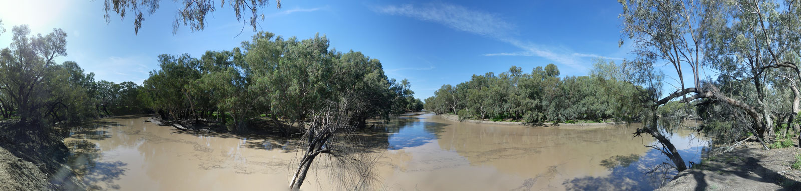
The online map has markers every km that represent a continuation of the numbering that starts at 0 where the Darling meets the Murray. Kilometre marker 1547 is slightly upstream of the Culgoa and Barwon confluence.

Zoom in to see all of these markers. These do not correlate with any existing numbering system on the river.

  • Source
  • Inverell
  • Macintyre Falls
  • Severn River
  • Yetman
  • Dumaresq River
  • Boggabilla
  • Goondiwindi
  • Boomi River Offtake
  • Weir River
  • Mungindi
  • Boomi River
  • Moonie River
  • Mehi River
  • Collarenebri
  • Walgett (Naomi River)
  • Macquarie River
  • Cato Creek
  • Brewarrina
  • Bokhara River
  • Bogan River
  • Culgoa River
  • Bourke
  • Causeway
  • Gauges
  • Weir or Low Head Dams