Flow
A look at the flow required in key locations
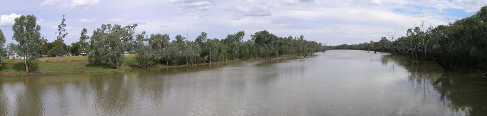
A look at the current flow along the river
Quick look at key river heights along the river.
Data has been automated from various sources and these have not been manually verified. The level status is determined either from known flows before falling back to estimated flows from the BoM recorded height.
Please refer to offical sources before heading out onto the river.
Flow direction is from the top to the bottom. Most but not all monitoring stations are listed.
The following shows both the Paroo and Warrego catchments. Cuttaburra Creek runs from the Warrego to the Paroo and has a single gauge. Neither of Noorama and Widgeegoara creeks do and the amount of water lost to the Culgoa River is a bit of an unknown factor.
Some key river heights along the river.
| Location River |
Level | Flow | |||
|---|---|---|---|---|---|
| Warrego River | |||||
| Bogarella Crossing Warrego River | |||||
| No BoM observations found. | |||||
| Caroline Crossing Warrego River | |||||
| No BoM observations found. | |||||
| Augathella Warrego River | |||||
| QLD WMIP | 0.91 m 07:00 01 Jul |
0 ML/day 07:00 01 Jul | Latest / Custom | ||
| No BoM observations found. | |||||
| Biddenham Nive River | |||||
| No BoM observations found. | |||||
| The 27 Mile Garden Warrego River | |||||
| No BoM observations found. | |||||
| Raceview Bradleys Gully | |||||
| No BoM observations found. | |||||
| Lower Bradleys Gully | |||||
| No BoM observations found. | |||||
| Charleville Warrego River | |||||
| No BoM observations found. | |||||
| Oakwood Ward River | |||||
| No BoM observations found. | |||||
| Warilda Langlo River | |||||
| No BoM observations found. | |||||
| Bonella Langlo River | |||||
| No BoM observations found. | |||||
| Binnowee Ward River | |||||
| QLD WMIP | 0.60 m 07:00 01 Jul |
0 ML/day 07:00 01 Jul | Latest / Custom | ||
| No BoM observations found. | |||||
| Bonfield Angellala Creek | |||||
| No BoM observations found. | |||||
| Bakers Bend Warrego River | |||||
| No BoM observations found. | |||||
| Wyandra Warrego River | |||||
| QLD WMIP | 1.68 m 07:00 01 Jul |
0 ML/day 07:00 01 Jul | Latest / Custom | ||
| No BoM observations found. | |||||
| Wallen Warrego River | |||||
| QLD WMIP | 0.19 m 07:00 01 Jul |
0 ML/day 07:00 01 Jul | Latest / Custom | ||
| No BoM observations found. | |||||
| Cunnamulla Bridge Warrego River | |||||
| No BoM observations found. | |||||
| Allan Tannock Weir, Cunnamulla Warrego River | |||||
| Gauge | |||||
| QLD WMIP | 5.17 m 07:00 01 Jul |
0 ML/day 07:00 01 Jul | Latest / Custom | ||
| No BoM observations found. | |||||
| Storage | |||||
| SunWater | 4.34 of 4.00 GL (91.0%) 00:00 01 Jul | SunWater | |||
| Rocky Warrego River | |||||
| No BoM observations found. | |||||
| Turra Station Cuttaburra Creek | |||||
| WaterNSW WMIP | 1.45 m 05:15 01 Jul |
0 ML/day 05:15 01 Jul | Latest / Custom | ||
| No BoM observations found. | |||||
| Barringun No 2 Warrego River | |||||
| WaterNSW WMIP | 1.05 m 05:00 01 Jul |
0 ML/day 05:00 01 Jul | Latest / Custom | ||
| No BoM observations found. | |||||
| Fords Bridge Warrego River | |||||
| Bywash | |||||
| WaterNSW WMIP | 0.48 m 05:00 01 Jul |
0 ML/day 05:00 01 Jul | Latest / Custom | ||
| No BoM observations found. | |||||
| Main Channel | |||||
| WaterNSW WMIP | 0.39 m 05:00 01 Jul |
0 ML/day 05:00 01 Jul | Latest / Custom | ||
| No BoM observations found. | |||||
| Boera Dam Warrego River | |||||
| WaterNSW WMIP | 2.08 m 05:15 01 Jul |
Latest / Custom | |||
| Dicks Dam Warrego River | |||||
| WaterNSW WMIP | 0.84 m 04:45 01 Jul |
7 ML/day 04:45 01 Jul | Latest / Custom | ||
| Paroo River | |||||
| Cooladdi Quilberry Creek | |||||
| No BoM observations found. | |||||
| Humeburn Paroo River | |||||
| No BoM observations found. | |||||
| Alroy Crossing Yowah Creek | |||||
| No BoM observations found. | |||||
| Caiwarro Paroo River | |||||
| QLD WMIP | 1.26 m 07:00 01 Jul |
175 ML/day 07:00 01 Jul | Latest / Custom | ||
| No BoM observations found. | |||||
| Willara Crossing Paroo River | |||||
| WaterNSW WMIP | 0.57 m 03:00 01 Jul |
160 ML/day 03:00 01 Jul | Latest / Custom | ||
| No BoM observations found. | |||||
| Turra Station Cuttaburra Creek | |||||
| WaterNSW WMIP | 1.45 m 05:15 01 Jul |
0 ML/day 05:15 01 Jul | Latest / Custom | ||
| No BoM observations found. | |||||
| Selected Darling River Gauges | |||||
| Brewarrina Weir Barwon River | |||||
| WaterNSW WMIP | 2.35 m 05:15 01 Jul |
692 ML/day 05:15 01 Jul | Latest / Custom | ||
| No BoM observations found. | |||||
| Warraweena Darling River | |||||
| WaterNSW WMIP | 3.95 m 05:00 01 Jul |
753 ML/day 05:00 01 Jul | Latest / Custom | ||
| No BoM observations found. | |||||
| Bourke Darling River | |||||
| WaterNSW WMIP | 4.18 m 05:15 01 Jul |
727 ML/day 05:15 01 Jul | Latest / Custom | ||
| No BoM observations found. | |||||
| Louth Darling River | |||||
| WaterNSW WMIP | 1.75 m 04:45 01 Jul |
894 ML/day 04:45 01 Jul | Latest / Custom | ||
| No BoM observations found. | |||||
| Tilpa Weir Darling River | |||||
| WaterNSW WMIP | 1.16 m 04:45 01 Jul |
659 ML/day 04:45 01 Jul | Latest / Custom | ||
| No BoM observations found. | |||||
| Wilcannia (Main Channel) Darling River | |||||
| WaterNSW WMIP | 0.53 m 05:00 01 Jul |
383 ML/day 05:00 01 Jul | Latest / Custom | ||
| No MDBA observations found. | |||||
| No BoM observations found. | |||||
| Lower Culgoa River Gauges | |||||
| Brenda Culgoa River | |||||
| WaterNSW WMIP | 1.27 m 05:15 01 Jul |
32 ML/day 05:15 01 Jul | Latest / Custom | ||
| No BoM observations found. | |||||
| Weilmoringle Culgoa River | |||||
| WaterNSW WMIP | 1.70 m 05:15 01 Jul |
0 ML/day 05:15 01 Jul | Latest / Custom | ||
| No BoM observations found. | |||||
| Roseleigh Crossing Nebine Creek | |||||
| QLD WMIP | 0.59 m 07:00 01 Jul |
0 ML/day 07:00 01 Jul | Latest / Custom | ||
| No BoM observations found. | |||||
| Mundiwa Culgoa River | |||||
| WaterNSW WMIP | 0.66 m 05:15 01 Jul |
30 ML/day 05:15 01 Jul | Latest / Custom | ||
| No BoM observations found. | |||||
| Kenebree Culgoa River | |||||
| WaterNSW WMIP | 0.44 m 05:15 01 Jul |
3 ML/day 05:15 01 Jul | Latest / Custom | ||
| No BoM observations found. | |||||
Level Key
For road open/closed information, see the QLDTraffic: Road Condition Information or Live Traffic NSW websites.
Data ©State of Queensland; Bureau of Meteorology, Commonwealth of Australia

©2026 Alan Davison // Credit // Disclaimer