Paroo River

The Paroo River, located in southwestern Queensland, is one of Australia's most unique river systems due to its ephemeral nature. Originating west of Charleville, the Paroo River flows down to the Darling River, which is just upstream of Wilcannia in New South Wales. Unlike other rivers, the Paroo River only flows during rare wet seasons brought on by la Niña weather patterns or cyclone-driven events. In other times, the riverbed is often dry, with only the occasional waterhole providing a source of water for local flora and fauna. Despite its intermittent nature, the Paroo River supports a diverse range of plant and animal species, including several rare and endangered species that have adapted to the region's unique conditions.
Key Waypoints
-
0 km
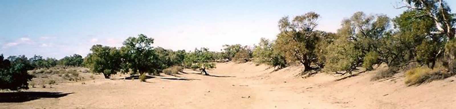
Source
Source is at the edge of Mariala National Park.
-
70 km
Diamantina Developmental Rd
Cheepie, an old railway station and post-office (30 km west). Cooladdi, Australia's smallest town with a single road-house and three residents (18 km east).

-
258 km
Eulo
Eulo has one pub and a small general store. Known for its opal mining and lizard racing.
The Eulo Weather station closed in 2001 (older climate stats).

-
380 km
Hungerford, QLD
Small outback town right on the border, with the majority living on the QLD side.
-
486 km
Wanaaring, NSW
Small town midway along the "Cut Line" road between Bourke and Tibooburra.
-
786 km
Darling River Confluence
-
836 km
Wilcannia
An IGA in town (the Friendly Grocer 08 8091 5989). There are apparently petty crime issues so keep a watch on your gear. (RK).
River Map
Key towns along the river are shown below.
- Source (Mariala Nat. Park)
- Cheepie / Cooladdi
- Eulo
- Hungerford
- Wanaaring
- Darling River Confluence
- Wilcannia
Distance Table
The distances were calculated by manually digitising the river path from Bing aerial images in QGIS (WGS 84 / UTM Zone 55S).
| Distances (KM) | Source |
Diamantina Rd |
Eulo |
Hungerford |
Wanaaring |
Darling River |
Wilcannia |
Distances (KM) |
|---|---|---|---|---|---|---|---|---|
| Source | 0 | 70 | 258 | 380 | 486 | 786 | 836 | Source |
| Diamantina Rd | 70 | 0 | 188 | 309 | 416 | 716 | 766 | Diamantina Rd |
| Eulo | 258 | 188 | 0 | 121 | 228 | 528 | 578 | Eulo |
| Hungerford | 380 | 309 | 121 | 0 | 107 | 407 | 456 | Hungerford |
| Wanaaring | 486 | 416 | 228 | 107 | 0 | 300 | 349 | Wanaaring |
| Darling River | 786 | 716 | 528 | 407 | 300 | 0 | 49 | Darling River |
| Wilcannia | 836 | 766 | 578 | 456 | 349 | 49 | 0 | Wilcannia |
| Distances (KM) | Source |
Diamantina Rd |
Eulo |
Hungerford |
Wanaaring |
Darling River |
Wilcannia |
Distances (KM) |
Flow
There wasn't that much data on the river, but enough to do some basic analysis of the recent flow events. Some key observations:


The gauge is in Currawinya National Park about ~15 km north of the QLD-NSW border, about half way down the river.
Climate
A couple graphs on the weather at Wanaaring, the only station with reasonable data on the Paroo.
Refer to the Darling climate page for details on Wilcannia and the Warrego climate page that would provide a good indication of what the Paroo will be like.
For the most accurate weather information that reflects recent weather patterns, I have used a 30-year period between 1991 and 2020 for my statistics whenever possible. In some cases, a smaller subset or even longer-term statistics may also be used. To provide normalized figures that exclude extreme values, I have used deciles ranging from 1 to 9, which excludes the lowest and highest 10% of observations.
Transport
There are no known public transport options. The closest buses are to Cunnamulla (Murrays) and Charleville (Greyhound).
Homesteads
Some of the stations and homesteads that can be found along the river.
- 38 km Boothulla
- 65 km Arranfield
- 71 km Chums Plain, Yalamurra
- 79 km Dempsey
- 89 km Yarronvale
- 99 km Coolabah
- 107 km Allambie
- 140 km Mount Alfred
- 145 km Brigalow
- 156 km Come By Chance
- 161 km Nooma
- 168 km Humeburn
- 182 km Boobera
- 220 km Tilbooroo
- 242 km Farnham Plains
- 276 km Wandilla
- 328 km Caiwarro
- 339 km Warden
- 406 km Talyealye
- 421 km Glenhope, Willara Crossing
- Terramia Homestead is directly opposite (east) about 1 km east.
- 442 km Mooleyarrah
- One of a cluster including: Yarrawonga, Backwood, Moorland Downs and Tinapagee.
- 467 km Lenroy
- 498 km Ularara
- 506 km Nocoleche
- 528 km Taltowera
- 571 km Goorimpa
- On Parro Overflow
- 612 km Tongo
- West up Tongo Ck
- 726 km Ulalie
- 2 km east of the river
- 748 km Tillenbury
